Australia's Maritime Jurisdiction Map Series
Last updated:10 November 2023
Updates to maritime boundaries between Australia and Timor-Leste
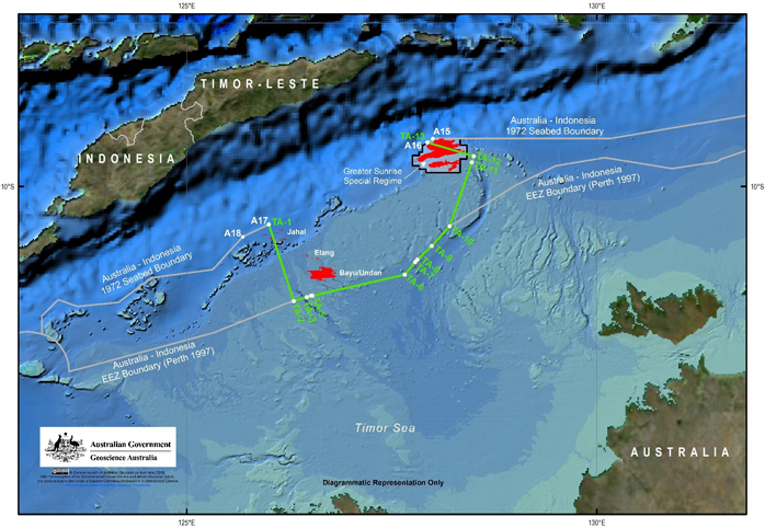
Geoscience Australia has released new digital data as a result of the Treaty Between Australia and the Democratic Republic of Timor-Leste Establishing Their Maritime Boundaries in the Timor Sea.
On 30 August 2019, the Treaty Between Australia and the Democratic Republic of Timor-Leste Establishing Their Maritime Boundaries in the Timor Sea came into force. The Treaty establishes permanent maritime boundaries between the two countries and a stable legal framework for the development of gas and oil resources in the Timor Sea.
Geoscience Australia has provided the following digital data representing the new boundaries:
More information regarding the Treaty Between Australia and the Democratic Republic of Timor-Leste Establishing Their Maritime Boundaries in the Timor Sea is available from the Department of Foreign Affairs and Trade website.
Maritime Jurisdiction Maps
Some of our maps have been removed for revision in response to ratification of the Treaty Between Australia and the Democratic Republic of Timor-Leste Establishing Their Maritime Boundaries in the Timor Sea. Revised maps will be available from this page when complete.
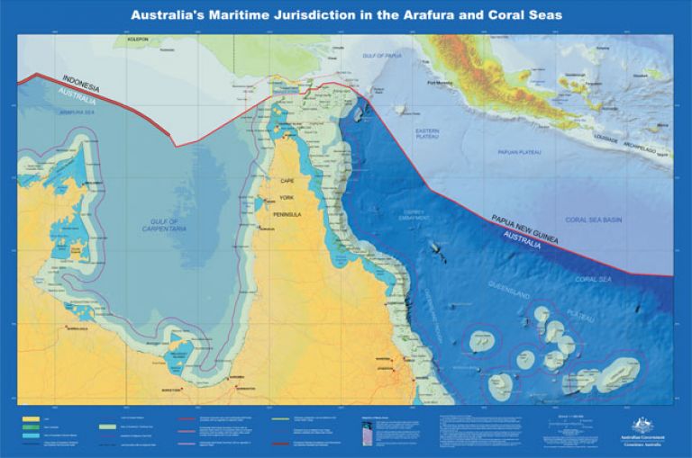
Geoscience Australia has produced a number of large format printable products to assist in the understanding of Australia's maritime jurisdiction. A schematic view of Australia's maritime zones, and a series of 28 electronic maps which depict Australia's Maritime Jurisdiction.
These products were produced in consultation with the Attorney-General's Department and the Department of Foreign Affairs and Trade (DFAT) to illustrate Australia's maritime limits.
The maritime limits and zones depicted on these maps are derived from the Australian Maritime Boundaries (2014) digital data. This data includes the depiction of the 2012 proclamation of Australia's continental shelf. The proclamation includes the continental shelf limits that were subject of the recommendations by the United Nations Commission on the Limits of the Continental Shelf on Australia's submission for extended continental shelf.
Geoscience Australia is committed to the maintenance of the maritime boundaries data to ensure it reflects the changing nature of Australia's coastline and hence the various maritime zone limits. The data reflects the location of the coastline within the constraints of available source material at the time of production. In the event of an inconsistency between these maps and the baseline and limits under the legislation, the latter prevails.
The majority of the maps are intended for reproduction at A0 poster size. To maintain the quality of the printed product, the PDF files range in size from 18 to 115MB. For ease of reproduction, the files are delivered in PDF format.
In addition to the standard map series, a number of non-standard special maps have been produced. These maps have been produced to illustrate particular elements of the Australian maritime jurisdiction that did not fit within the constraints of the 1:1 500 000 scales standard series. The majority of these maps have been developed for production at A0 poster size. The three large banner maps have been produced for production on 1050mm width plotters. The largest plot, when plotted at this size will be 3.3 metres long.
1 500 000 Map Series


Special Map Series


