Natural hazards and plate tectonics
Factsheets and Resources

Hazards resources for senior classes
A curated suite of new and existing resources targeted at Year 11/12 Earth & Environmental Science and Geography classes.

Volcanoes - Teacher notes and student activities
This comprehensive booklet explains the types, causes, products and distribution of volcanoes around the world and includes Australian examples. Student activities include an eruption role play.

Earthquakes - Teacher notes and student activities
This booklet focuses on earthquakes including their causes, measurement, distribution and monitoring. The booklet also catalogues significant Australian earthquakes. Student activities are included, one of which is 'Epicentre Hunt'.

Tsunami - Teacher Notes and Student Activities
Tsunamis are associated with earthquakes, landslides or volcanic eruptions that occur in, or adjacent to, the ocean. This usually results in the sudden movement of water. This booklet explains the causes of tsunamis, detection and warning systems. Student activities included.

Landslides - Teacher Notes and Student Activities
Landslides are one of Australia's most dangerous natural hazards and result from a mass movement of material down a slope or cliff face. This booklet explains the nature of landslides and gives examples of various historical landslides that have occurred in Australia. Student activities included.

Analysis of earthquakes using real map and data sets
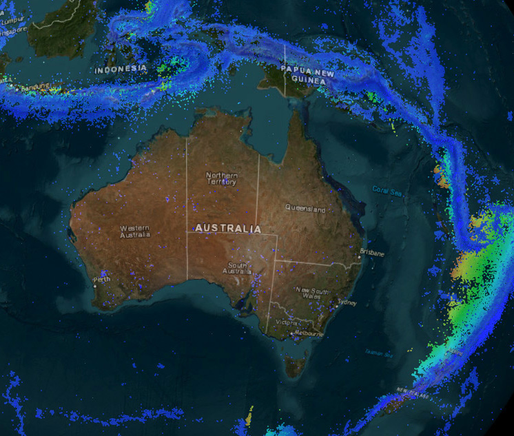
This teacher guide introduces Geoscience Australia earthquake data, and contains student activities.

Observing Australian natural hazards through satellite imagery
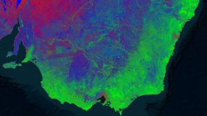
This teacher guide introduces the Digital Earth Australia portal in the context of Australian natural hazards.
- Natural Hazards information
- Earthquakes in the Canberra Region booklet
- Natural Hazards in Australia - Identifying Risk Analysis report
- Amateur seismology in Australia fact sheet
- Digital Earth Australia Hotspots - Bushfire Mapping System
Posters

Satellite Selfies: Australia from Space Education Poster
Poster showing satellite imagery across Australia. Introduction to sensors and bands in the electromagnetic spectrum, true and false colour and applications of monitoring Earth observing satellite data.
Activities

Solve the puzzle of plate tectonics with this world map that shows the edges of the major tectonic plates.

Plate tectonics cut-out on a tennis ball
Create a tectonics plate model using this easy to print A4 model. This colour model is ready to cut out and assemble on a tennis ball.

Shield volcano 3D cut-out model
An A4 paper model, ready to cut out and assemble into a 3D shield volcano.

Strato volcano 3D cut-out model
An A4 paper model, ready to cut out and assemble into a 3D strato volcano.

Landslide 3D cut-out model (upper primary and secondary)
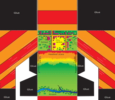
Find out about landslides with this ready to cut out and assemble 3D model.

Slump 3D cut-out model (upper primary and secondary)
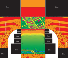
Create a slump with this ready to cut out and assemble 3D model.


