


News archive (November 2013 to July 2023)
Using Earth observation to address climate change in South-East Asia
An initiative led by CSIRO and Geoscience Australia has supported Australian and South-East Asian scientists, students and innovators to build market interest for products and services that use Earth observation to address the impacts of climate change across South-East Asia.
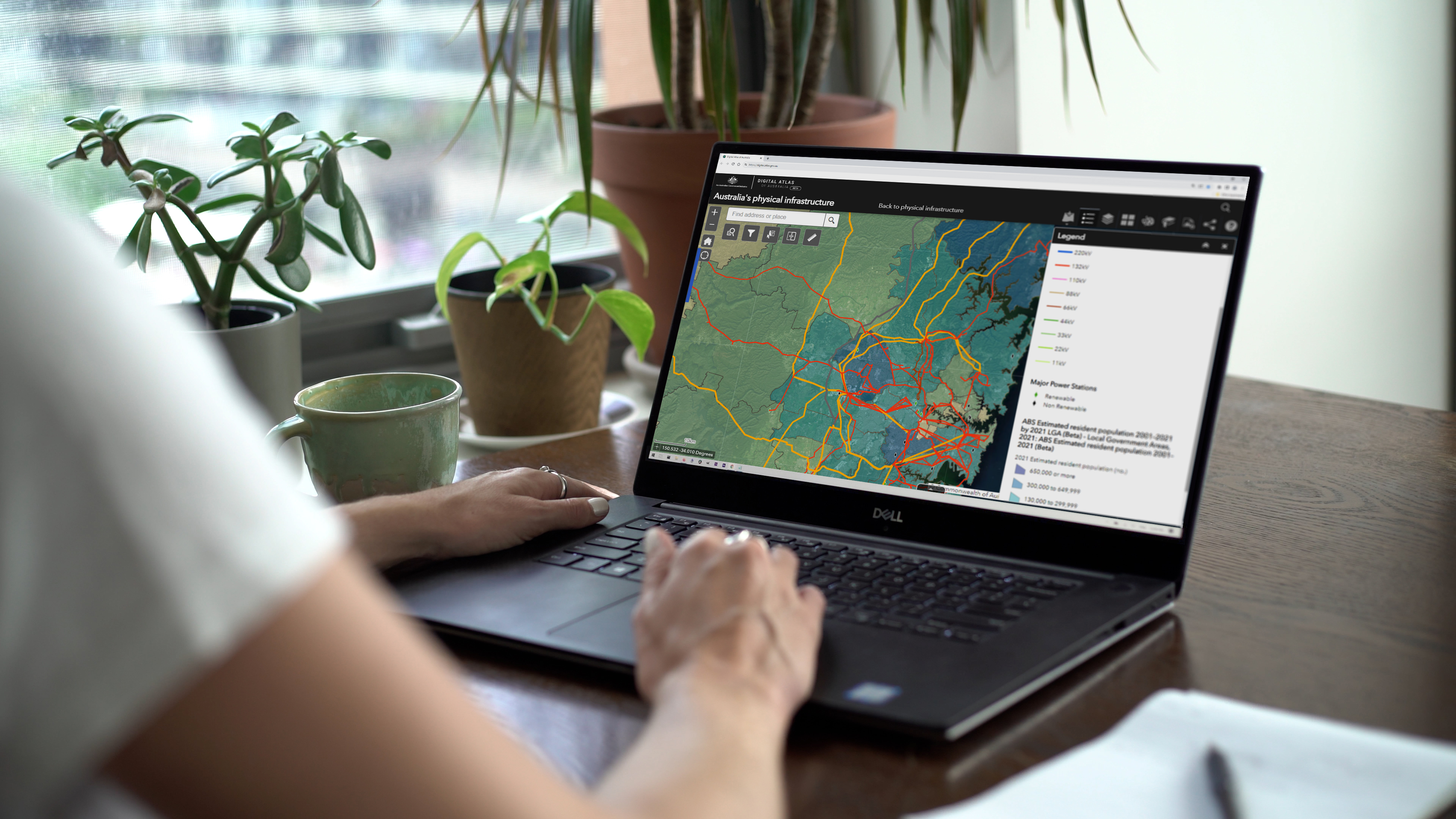
Introducing the Digital Atlas: Unlocking the Power of Location-Based Data
In an exciting step forward in how we access and use location data, the Digital Atlas of Australia beta was released to the public on 30 June 2023.
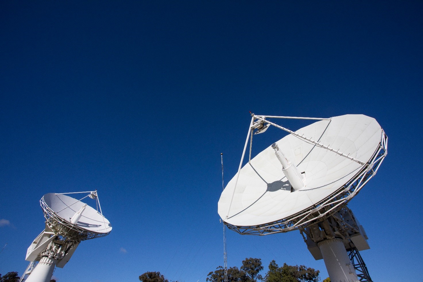
A true partnership to improve position, navigation and timing services in Australia
What do precision agriculture, weather predictions and synchronising financial transactions all have in common?

Australia retains energy export world leader status
Geoscience Australia’s most recent stocktake of the nation’s energy resources has reinforced Australia’s importance in the global energy supply chain.

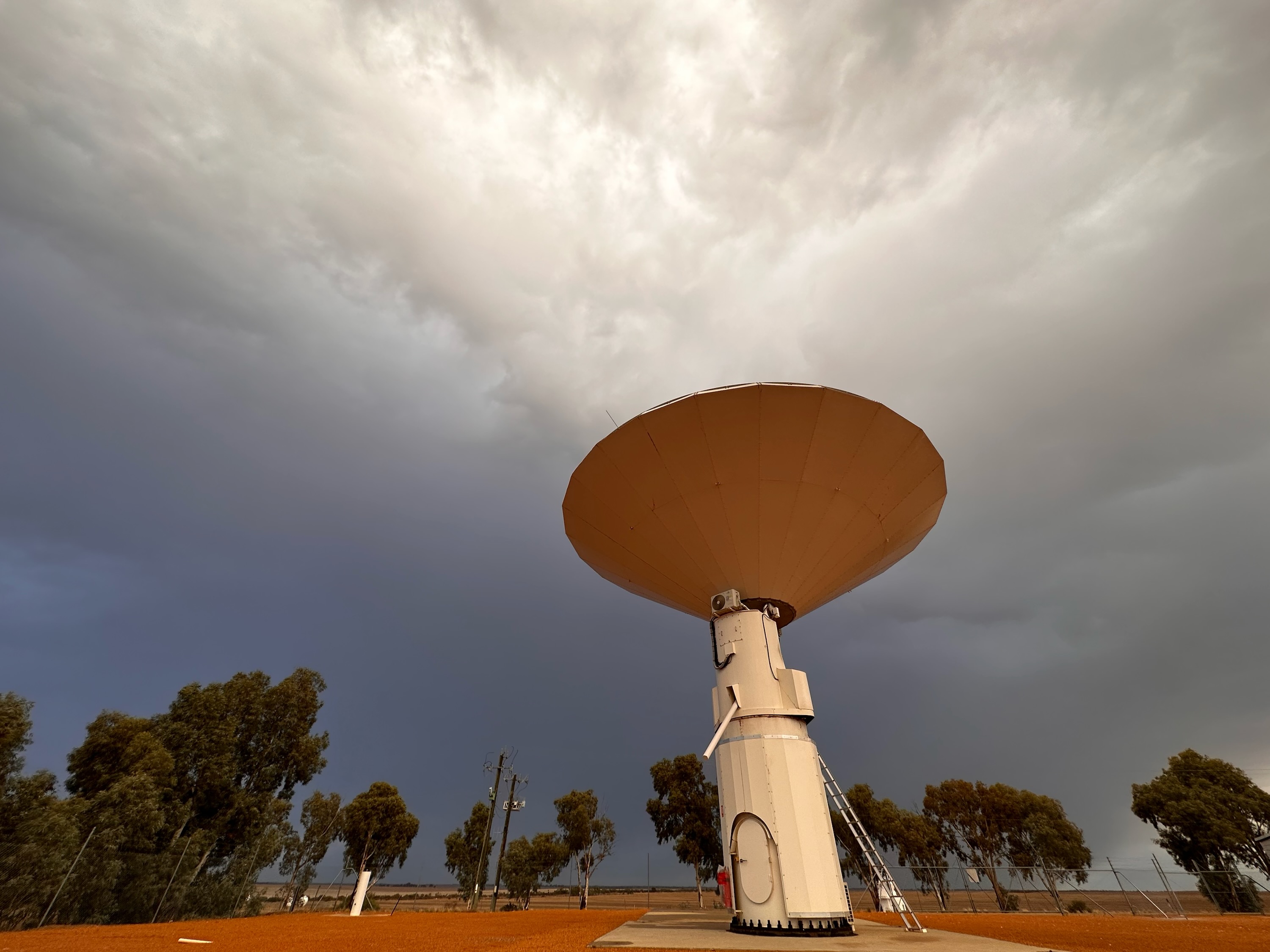
Yarragadee: the ‘geodetic supersite’ in the West Australian desert
Out in the West Australian desert at Yarragadee Geodetic Observatory station, Geoscience Australia scientists are shooting high-powered lasers at satellites flying thousands of kilometres overhead.

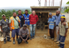
New phase of disaster resilience program to strengthen community safety in PNG
Australia has extended its Technical Disaster Risk Reduction Program by a further three years to support the Government of Papua New Guinea to monitor, detect and respond to natural hazards and keep communities safe.
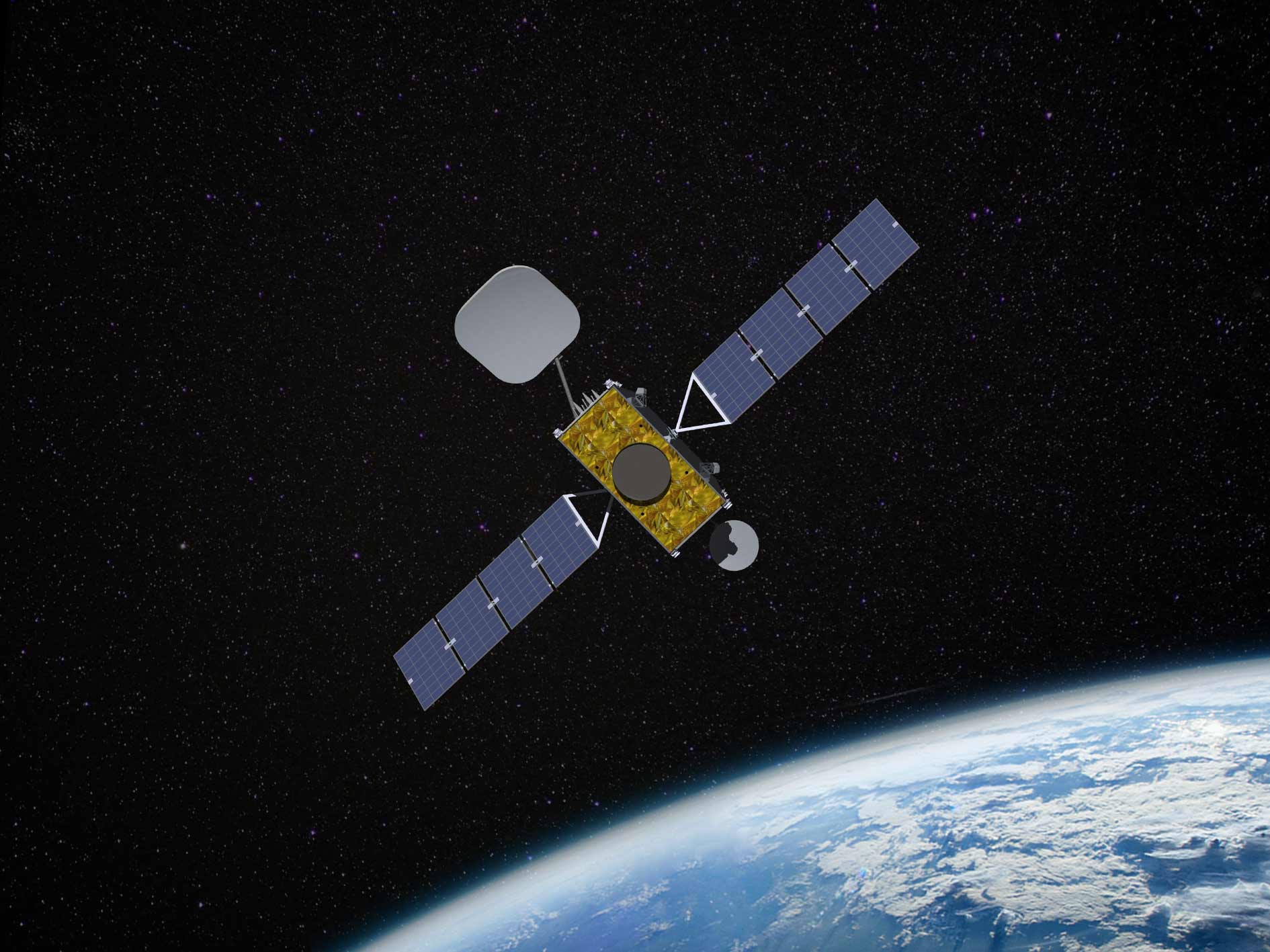
Australia & New Zealand sign major contract with Inmarsat for new SouthPAN satellite service
Every major industry across Australia and New Zealand, from transport and construction to resources and agriculture, will gain positioning and navigation benefits from the Southern Positioning Augmentation Network’s (SouthPAN) new satellite service.
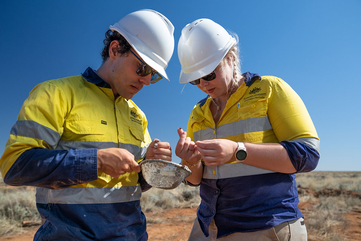
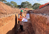
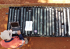
Ground-breaking scientific drilling begins in western NSW
Ground-breaking scientific drilling has begun in western New South Wales, promising to offer valuable insights into the geological history of the region, as well as the changes that have shaped our continent.
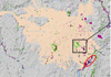
Unlocking the mineral potential of Australia
16 March 2023
With the release of new data and four new Mineral Potential Maps, the Australian Government is supporting exploration for minerals such as zinc and associated critical minerals including cobalt, gallium, and germanium for use in renewable technologies.
Australia’s Lithium powering the global energy transition
7 March 2023
Australian minerals are powering the global energy transition, with lithium production at a record high, according to the Australia’s Identified Mineral Resources (AIMR) report.
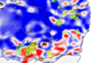
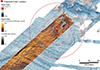
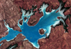
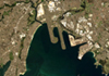
New seabed maps show Bass Strait in unprecedented detail
14 February 2023
The Australian Government has released a new seabed map of the Bass Strait that shows the area in greater detail than ever before.
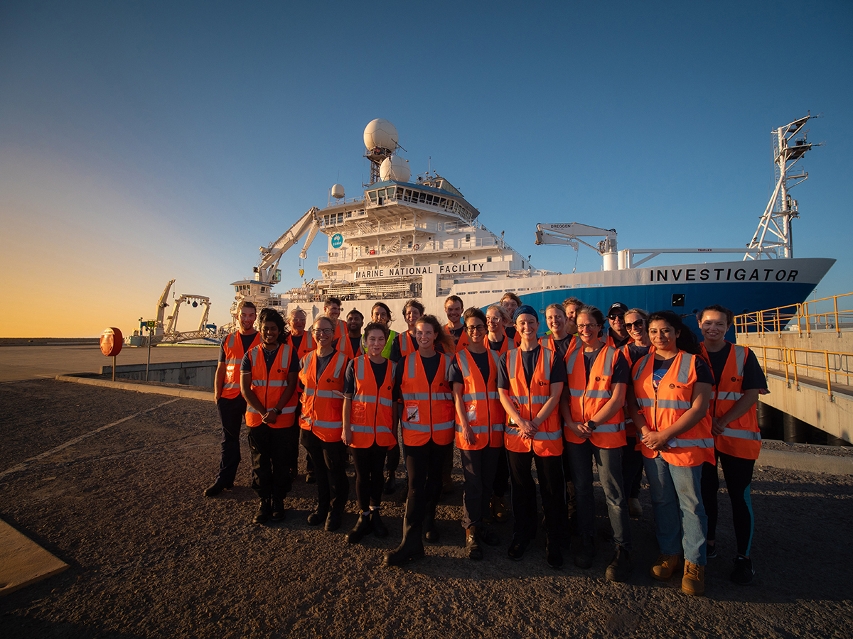
Voyage of discovery to the East Antarctic margin
25 January 2023
A Geoscience Australia-led scientific voyage has departed Perth this week for East Antarctica aboard CSIRO research vessel (RV) Investigator.
Revealing the hidden resource potential of Tasmania
12 January 2023
New data will put the spotlight on the hidden geology beneath the feet of Tasmanians, as part of the Australian Government’s Exploring for the Future program.
Advancing our understanding of the Great Artesian Basin
22 December 2022
The Great Artesian Basin (GAB) is Australia's most significant hydrogeological system.
New international agreement to take ocean science forward
21 December 2022
Geoscience Australia, the CSIRO and the United States’ National Oceanic and Atmospheric Administration (NOAA) have signed a Memorandum of Understanding (MoU) to cooperate on ocean exploration and mapping.
SAGE awards second Cygnet Award to Geoscience Australia
13 December 2022
Geoscience Australia has received the second ever SAGE Cygnet Award in recognition of their work to develop an inclusive workplace culture.
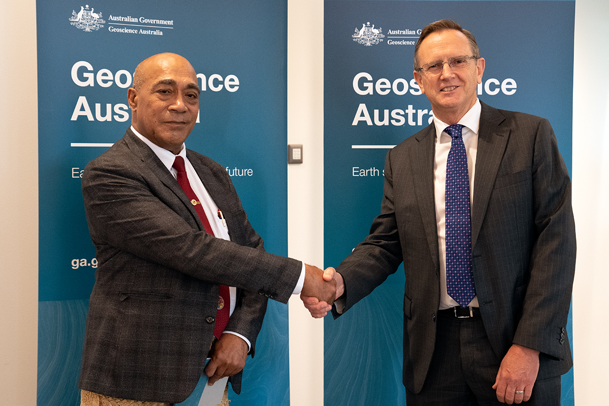
Pacific cooperation for improved science and improved safety: Tonga’s Minister Lord Tu'i'afitu visits Geoscience Australia
6 December 2022
The Government of Tonga’s Minister for Lands and Natural Resources, the Hon Lord Tu'i'afitu, has visited Geoscience Australia to relay his nation’s thanks to staff who responded to the Hunga Tonga-Hunga Ha’apai volcano explosion in January.
New laboratory to support next generation of Earth science
24 November 2022
Geoscience Australia is ready to support the next generation of Earth science advances, after its new modern laboratory was officially opened today by Minister for Resources and Northern Australia the Hon Madeleine King.
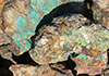
Marine Geoscience in action: a search for green doughnuts
16 November 2022
Geoscience Australia’s Marine Geoscientist Dr Mardi McNeil has been to many interesting places in her career, and her latest voyage to the Great Barrier Reef Marine Park was no exception.


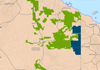
Digital Earth Africa Becomes African Owned and Run
16 August 2022
African leadership will take the powerful Earth observation tool Digital Earth Africa forward. This platform provides freely available analysis ready data that covers the entire African continent—home to one in six people on Earth.

Salt caverns and minerals across Australia unlock our nations hydrogen industry
10 August 2022
Australia has the right ingredients to become a global hydrogen superpower, according to new data from the Australian Government’s Exploring for the Future program.

Uncovering resource potential for a low-emissions future
8 August 2022
Geoscience Australia will kick off a three-day virtual showcase today that is set to highlight the crucial role of Australian Government science in unlocking our low-emissions future.
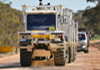
‘Thumper trucks’ on the move across south-eastern Australia
20 July 2022
A slow-moving convoy of trucks will help uncover the origins of ancient supercontinents, by sending vibrations deep into the Earth to build a picture of what lies beneath south-eastern Australia.
Australia’s Energy Commodity Resources 2022 released
19 July 2022
Australia’s status as a global energy powerhouse has been confirmed through the 2022 Australian Energy Commodity Resource (AECR) assessment.

Geoscience Australia collections inspire Artist-in-Residence Exhibition
8 July 2022
CONFLUENCE, an exhibition featuring artwork influenced by Geoscience Australia’s National Mineral and Fossil Collection and the Namadgi National Park, received a warm reception at its opening this week.
Geoscience Australia to undertake Earthquake Risk Assessment in northern Papua New Guinea
4 July 2022
Geoscience Australia is helping to understand the risk posed by earthquakes to Papua New Guinea’s second largest city, as part of a new project.
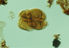
Microfossils from the earliest land plants provide clues about Australia’s petroleum potential
16 June 2022
Microfossils derived from the earliest land plants and extinct marine groups have been recovered from 42 samples taken from the Barnicarndy 1 well, drilled in partnership with the Geological Survey of Western Australia in the onshore Canning Basin in Western Australia.
Fieldwork unearths scars from ancient earthquakes near Adelaide
8 June 2022
Scientists have been hunting for signs of ancient earthquakes near Adelaide to better understand the earthquake risk to the city.

Be Brave. Make Change: ABC’s Dan Bourchier to deliver public talk for National Reconciliation Week
26 May 2022
Multi-award winning journalist Dan Bourchier will share his experiences as a First Nations Australian and his views on how to be a good ally for First Nations Australians at a public talk at Geoscience Australia on Tuesday 31 May.
Researchers uncover the sweet spot for gold discovery
20 May 2022
A Geoscience Australia-led team of researchers have made it easier for explorers to strike gold, by uncovering previously unknown patterns in global geology that can be used to explore for gold deposits.

Geoscience Australia welcomes its 150,000th student
12 May 2022
This week, Geoscience Australia welcomed its 150,000th student through the doors of its Education Centre since it opened in October 1999.

AusArray sensors to build national picture of Australia’s subsurface
9 May 2022
Hundreds of sensors the size of a milk bottle will be buried across Australia to help scientists better understand what lies beneath the Earth’s surface.
MH370 data review joint statement from the Australian Transport Safety Bureau & Geoscience Australia
22 April 2022
A review by Geoscience Australia, of data collected during the original search for the missing Malaysian aircraft MH370, has concluded that it is highly unlikely there is an aircraft debris field within the reviewed search area.

Australia records boost in critical mineral resources
14 April 2022
Australia has seen significant increases in its inventories of critical mineral resources according to a report released by Geoscience Australia today.
Atlas of Australian Mine Waste puts secondary prospectivity on the map
13 April 2022
Geoscience Australia has teamed up with The University of Queensland, RMIT University and the Geological Survey of Queensland to develop an Atlas of Australian Mine Waste, highlighting new opportunities to recover valuable minerals – a concept known as secondary prospectivity.
Data from Geoscience Australia underpins massive exploration activity across the Northern Territory
11 April 2022
The Northern Territory is being explored more than ever before, with a substantial footprint of new tenement uptake in the region thanks to Geoscience Australia’s $225 million Exploring for the Future program.

United States Geological Survey visit reinvigorates close relationship and ties
7 April 2022
After more than two years of meeting virtually, Geoscience Australia was excited to bring its decades-long collaboration with the United States Geological Survey face to face again, hosting a delegation of staff from the scientific agency.
New Exploring for the Future results confirm NT as exciting exploration frontier
5 April 2022
New data from Geoscience Australia’s Exploring for the Future program has once again confirmed the excellent geological potential of previously underexplored parts of the Northern Territory.
Geoscience Australia a key partner in new National Space Mission for Earth Observation
30 March 2022
Geoscience Australia will play a key role in supporting Australia’s emerging space industry, with a transformational new project announced as part of this week’s Commonwealth Budget.
World Water Day 2022: Groundwater, making the invisible visible
22 March 2022
Today is World Water Day and the theme is ‘Groundwater: making the invisible visible’.

Queensland innovation inspired by better satellite positioning technology
18 March 2022
Queenslanders will benefit from advanced satellite positioning as the Australian Government partners with the Queensland Government, and the private sector, to improve GPS accuracy, taking the data available to Australians from metres down to centimetres.
Virtual National Critical Minerals Research and Development Centre
17 March 2022
I welcome the exciting announcement by the Prime Minister Scott Morrison and Minister for Resources and Water Keith Pitt on 16 March, which sets out a new Critical Minerals Strategy, including a series of initiatives to build a competitive critical minerals sector in Australia.

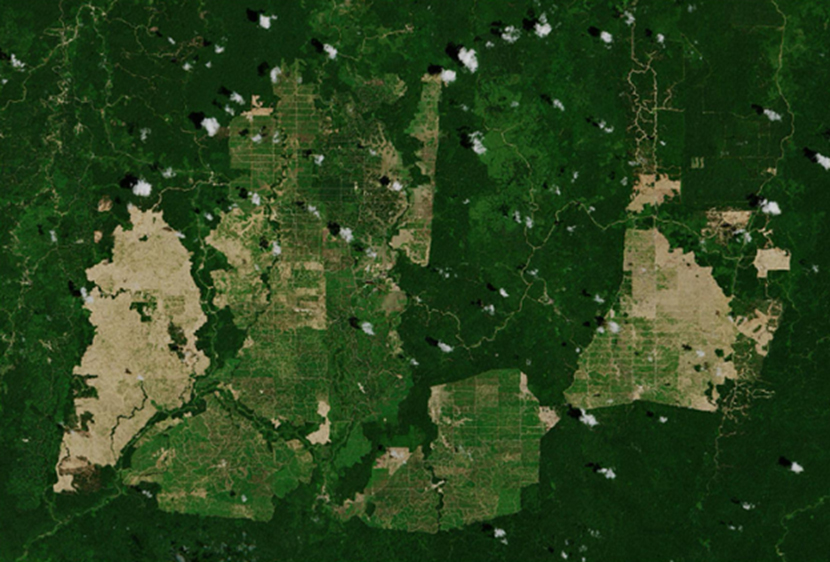
Mapping and measuring Australia’s ever-changing landscape
3 March 2022
Australia is an ancient land, with an ever-changing landscape. To help track and understand these changes, our Digital Earth Australia team has developed DEA Land Cover.
New generation Earth observation data is now available
28 February 2022
Peter Doucette, Acting Director of the U.S. Geological Survey's (USGS) Earth Resources Observation and Science (EROS) Center has announced that data from the newest Landsat satellite is now publicly available following the September 2021 launch and a period of calibration and testing.
Geoscience Australia kicks off an exciting program of scientific seminars for the year
25 February 2022
Geoscience Australia continues to make science accessible for everyone, with an exciting program of public talks kicking off for the year.

Seeking Expressions of Interest for Global Navigation Satellite System (GNSS) Ground Station Site Hosts
24 February 2022
Positioning Australia is the Geoscience Australia program delivering a national capability of accurate and reliable positioning anywhere, anytime.

A closer look at the upper Darling River region
23 February 2022
Minister for Resources and Water Keith Pitt today announced that new light will be shed on the potential for additional groundwater resources in the upper Darling River region as part of the $225 million Exploring for the Future program.

Magnitude 4.8 earthquake near Wagin, Western Australia
25 January 2022
Magnitude 4.8 earthquake near Wagin, Western Australia