News
ELVIS's excellence recognised on world stage
Published:22 January 2018
ELVIS's excellence recognised on world stage
Geoscience Australia's Elevation Information System (ELVIS) has won the Geospatial World Excellence Award for Application of Geospatial Technology in Open Data Platform at the Geospatial World Awards.
These awards recognise exemplary innovations and practices in the global geospatial industry and were presented on 19 January during the gala evening of the 2018 Geospatial World Forum in Hyderabad, India.
 Geoscience Australia's Shane Crossman (L) and Graham Hammond receive the Award for Application of Geospatial Technology in Open Data Platform
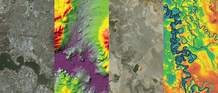
Geoscience Australia received this award in recognition of its innovative approach to delivering infrastructure for elevation data holdings across Australia and its collaborative approach with other jurisdictions. ELVIS brings together a range of free, open-source datasets from state, territory and Commonwealth government agencies, including elevation data from New South Wales, Queensland, Australian Capital Territory and Tasmania governments.
Through cloud-based storage and automated processing of data ordering, packaging and shipping, ELVIS is saving Geoscience Australia around $200,000 a year.
Head of Geoscience Australia's National Location Information Branch, Simon Costello, said that "The significant increase in efficiency meant that in ELVIS's first year of operation, Geoscience Australia was able to deliver more elevation data than it could in the past eight years, with delivery orders increasing from 2600 in 2015 to 20,000 in 2017.
"Additionally, ELVIS automated workflows have reduced the delivery time by 90 per cent and increased delivery capability by 1000 per cent."
 ELVIS provides free, open-source elevation data
Mr Costello said that the award recognises the importance of collaborative tools to delivering real-world change.
"Elevation data is used across all aspects of the natural and built environment, economy and society and can be applied to many areas to deliver improved outcomes. Understanding Australia's landforms is crucial for addressing issues related to the impacts of climate change, disaster management, water security, environmental management, urban planning and infrastructure design.
By delivering open data for free through a single access point, government, industry and research communities are more efficient in their planning, research and decision making."
 ELVIS's cloud-based storage and automated processing allows for faster, more effective delivery of elevation data
ELVIS incorporates Amazon Web Services (AWS) cloud-based data storage and FME Cloud for data transformation and delivery to provide a cost effective mechanism for serving open data that describes Australia's landforms and provides crucial information for policy, planning and design decisions across government and industry. It was developed to support Australia's Spatial Information Council's (ANZLIC) Foundation Spatial Data Framework and launched in 2016 by the Intergovernmental Committee on Surveying and Mapping (ICSM).
Further information
Contact:
Phone:
Email:


