News
Geoscience Australia to undertake Earthquake Risk Assessment in northern Papua New Guinea
Published:4 July 2022
Geoscience Australia to undertake Earthquake Risk Assessment in northern Papua New Guinea
Geoscience Australia is helping to understand the risk posed by earthquakes to Papua New Guinea’s second largest city, as part of a new project.
Geoscience Australia is helping to understand the risk posed by earthquakes to Papua New Guinea’s second largest city, as part of a new project.
The Lae Earthquake Risk Assessment will measure the earthquake potential posed by the Ramu-Markham Fault, the main crustal fault contributing to the seismic hazard of Lae, the major urban and commercial hub in northern Papua New Guinea.
“The Ramu-Markham Fault occurs along the boundary between two tectonic plates. In these locations, the continental scale plates break into smaller sized blocks that are pushing against each other. The movement between these blocks causes earthquakes,” Geoscience Australia Senior Hazard Scientist Dr Phil Cummins said.
“Previous studies have identified very high rates of movement between the blocks along the Ramu-Markham Fault but while there is some evidence of earthquakes found in the oral histories there have been no recorded large earthquakes that have impacted Lae.
“This indicates the presence of very high rates of strain between blocks that, when released, could result in large earthquakes. This combined with factors such as steep slopes and high rainfall, which increases the likelihood of landslides, poses a significant potential risk to the community of Lae.”
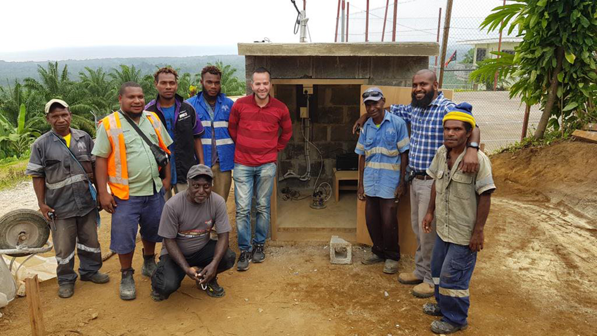
During the two-year project, scientists will install seismic stations in Lae to monitor earthquake activity and undertake targeted field surveys.
In one survey, Global Navigation Satellite Systems (GNSS) data will be collected and combined with remotely sensed Interferometric Synthetic Aperture Radar (InSAR) data to measure the earthquake potential posed by the Ramu-Markham Fault.
In a second survey, engineering data on the buildings of Lae will be collected to create an exposure database that can be used to properly assess the vulnerability of Lae’s buildings to earthquakes.
“A previous national earthquake hazard assessment of Papua New Guinea undertaken by Geoscience Australia identified that earthquake hazard in Lae had been underestimated and led to an interim amendment to the nations’ building code,” Geoscience Australia Senior Seismologist Dr Hadi Ghasemi said.
“We hope the findings of this project contribute to improved community safety in Lae.”
Geoscience Australia has been working with Papua New Guinea to strengthen their capacity to monitor and build resilience to natural hazards through the Australian Aid Program since 1995.
The funding for the Lae Earthquake Risk Assessment will come from the Department of Foreign Affairs and Trade Humanitarian Program.
“Geoscience Australia has extensive geohazard capability and expertise that we often share with our colleagues from Pacific Nations. This advice enables our Pacific partners to make evidence-based decisions to prevent and prepare for natural hazards,” Acting Head of Geoscience Australia’s Community Safety Branch, Dr Anthony Budd said.
“As an example, at the request of Tongan authorities, Geoscience Australia provided Tonga with seismic monitoring equipment and expertise following the January 2022 Hunga Tonga–Hunga Ha'apai volcanic eruption and tsunami. This will enable Tongan authorities to provide their community with improved early warning of tsunami in the future.
"We also provide geohazard data and advice to Pacific Island Nations, when the required data and support is not available within their own country or through regional organisations, under an agreement administered by the Department of Foreign Affairs and Trade.”
A key element of the new Lae Earthquake Risk Assessment project would be upskilling and sharing knowledge with partner organisations in Papua New Guinea.
“It is our goal through this project to share our expertise with our partners in PNG and help build local capability. We’ll be involving PNG government and universities wherever we can to help collect this data,” Dr Budd said.
“We’ll also be holding training workshops in PNG to ensure our in-country partners can get as much value out of this project as possible.”
Contact:
Phone:
Email:


