News
Sentinel-2C launch
Published:17 October 2024
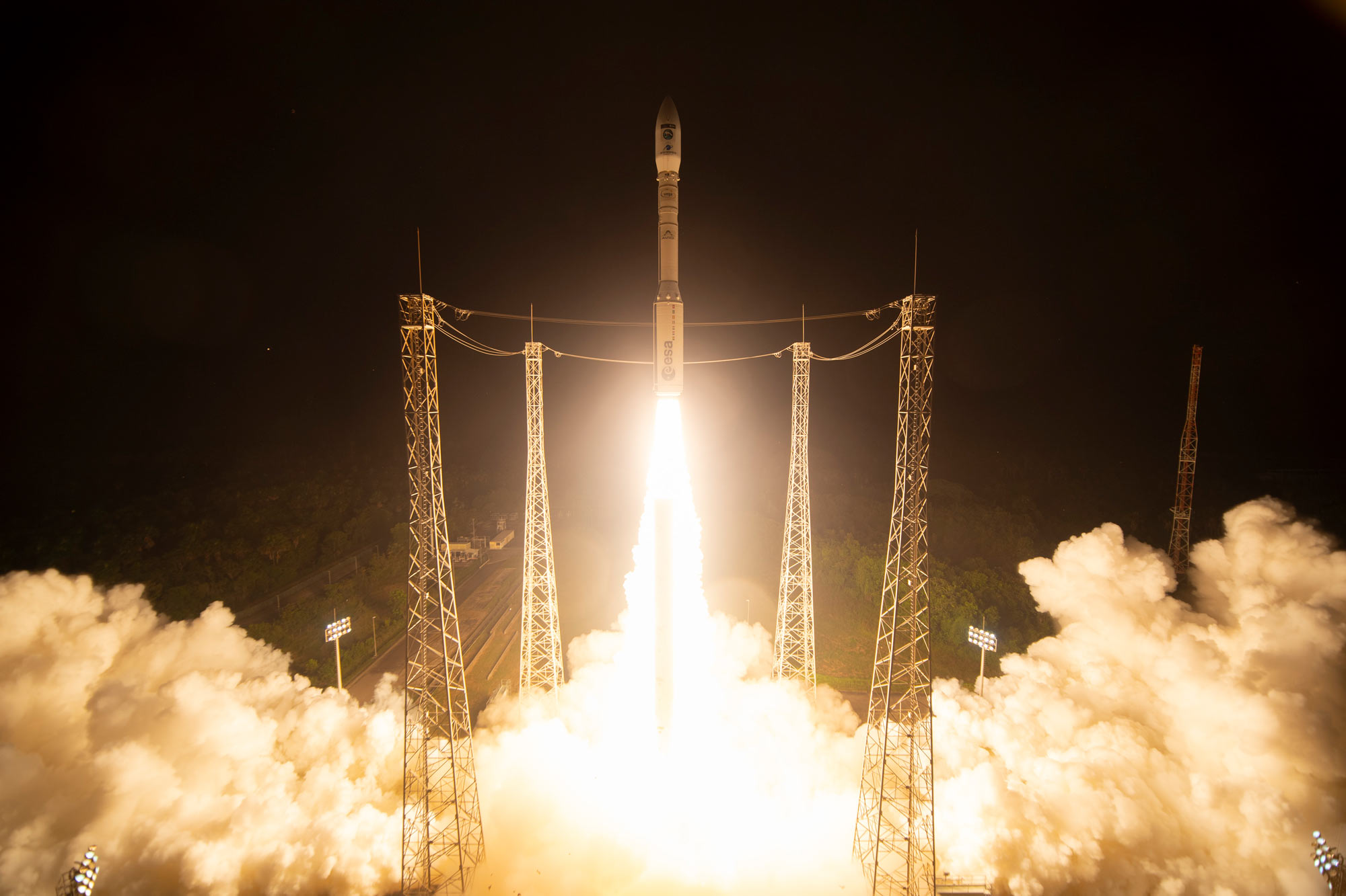
The final Vega rocket successfully launches the Copernicus Sentinel-2C satellite. Image credit: The European Space Agency.
Last month, the European Commission’s Sentinel-2C satellite from the Copernicus Programme was successfully launched, enhancing our ability to capture high resolution images essential for environmental monitoring and informed decision making.
The launch of Sentinel-2C secures the flow of critical data for governments, scientists and industry to make decisions through the continued operation of the Sentinel-2 mission.
The Copernicus Sentinel-2 mission provides high-resolution optical imagery for a wide range of applications including land, water and atmospheric monitoring. The data is used every day for applications like precision farming, water quality monitoring, natural disaster management and methane emission detection.
Geoscience Australia’s Sentinel Data Hub Engineer, Mike Peters, says “Sentinel-2C’s launch is a major step forward in ensuring Australia can continue to benefit from frequent, high-quality Earth observation data.
“Travelling at around 27,000 km/h, Sentinel-2C can complete a full orbit of the Earth in about 100 minutes, which is incredible. It has the capacity to collect imagery for around 7.25 years.
“This satellite series will help us better manage our resources, providing data for monitoring land use and changes, soil sealing, land management, agriculture, forestry, and natural disasters such as floods, forest fires, landslides, and erosion. Additionally, it will support humanitarian aid efforts.”
The mission is based on a constellation of two identical satellites flying in the same orbit but 180° apart: Sentinel-2A and Sentinel-2B. Together, they cover all of Earth’s land and coastal waters every five days.
Once Sentinel-2C is fully operational, it will replace its predecessor, Sentinel-2A, following a brief period of tandem observations. Sentinel-2D will eventually take over from Sentinel-2B.
An agreement between the Australian Government and the European Commission in May 2016 brings all the Sentinel images of the region to the Copernicus Australasia Regional Data Hub. The hub, managed by Geoscience Australia and located and operated from the National Computational Infrastructure (NCI) in Canberra, checks for new data every hour for products from the Sentinel 1, 2, 3 and 5P missions and aims to download them from the European hubs.
The Copernicus Regional Data Hub is paving the way for a new era of data-driven science. The program continues to deliver a high-quality service researchers have come to expect, setting the stage for years of scientific breakthroughs.