Case studies We enable science informed decisions

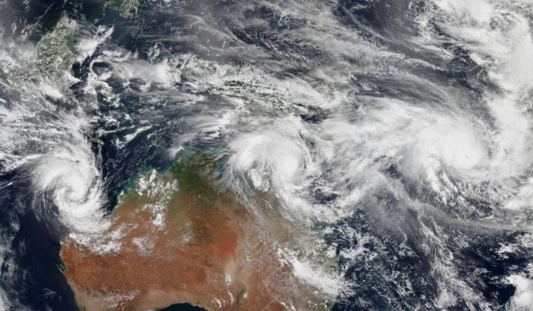
Assessing and improving Western Australia’s vulnerability to tropical cyclones
How scenario modelling helped emergency managers in Western Australia to mitigate the impacts of tropical cyclone hazards.
Assessing Queensland’s vulnerability to Severe Wind and Tropical Cyclones
How science and data were combined to help Queensland’s emergency managers plan for and reduce the impacts of tropical cyclone hazards.
Assessing the resilience of ageing buildings against earthquake hazards
How our collaborations and science improved the safety of communities in York, Western Australia.
Analysing historic geomagnetic data to identify space weather hazards
How historic geomagnetic data is influencing Australian electricity infrastructure decision making.

Estimating terrorism loss in Australian cities
How Geoscience Australia used computational modelling to estimate the financial losses associated with terrorist blasts and chemical or biological plume releases.
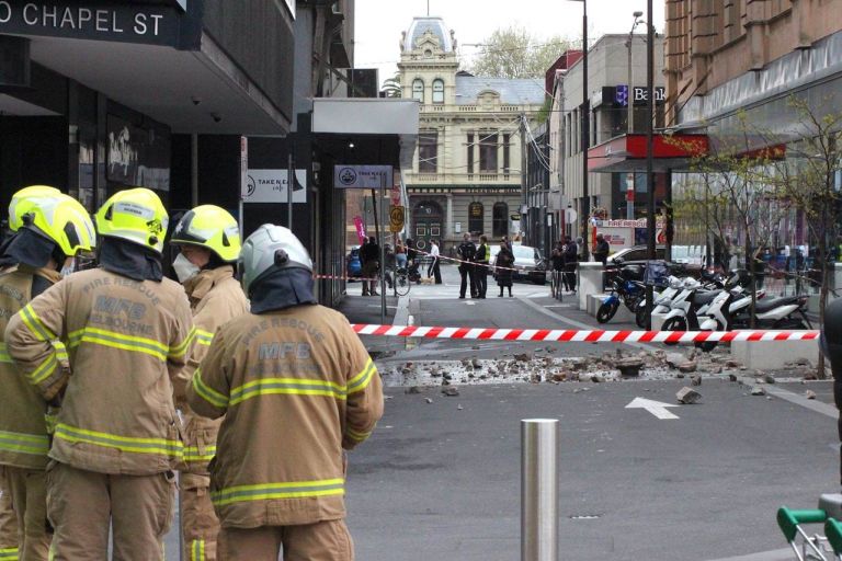
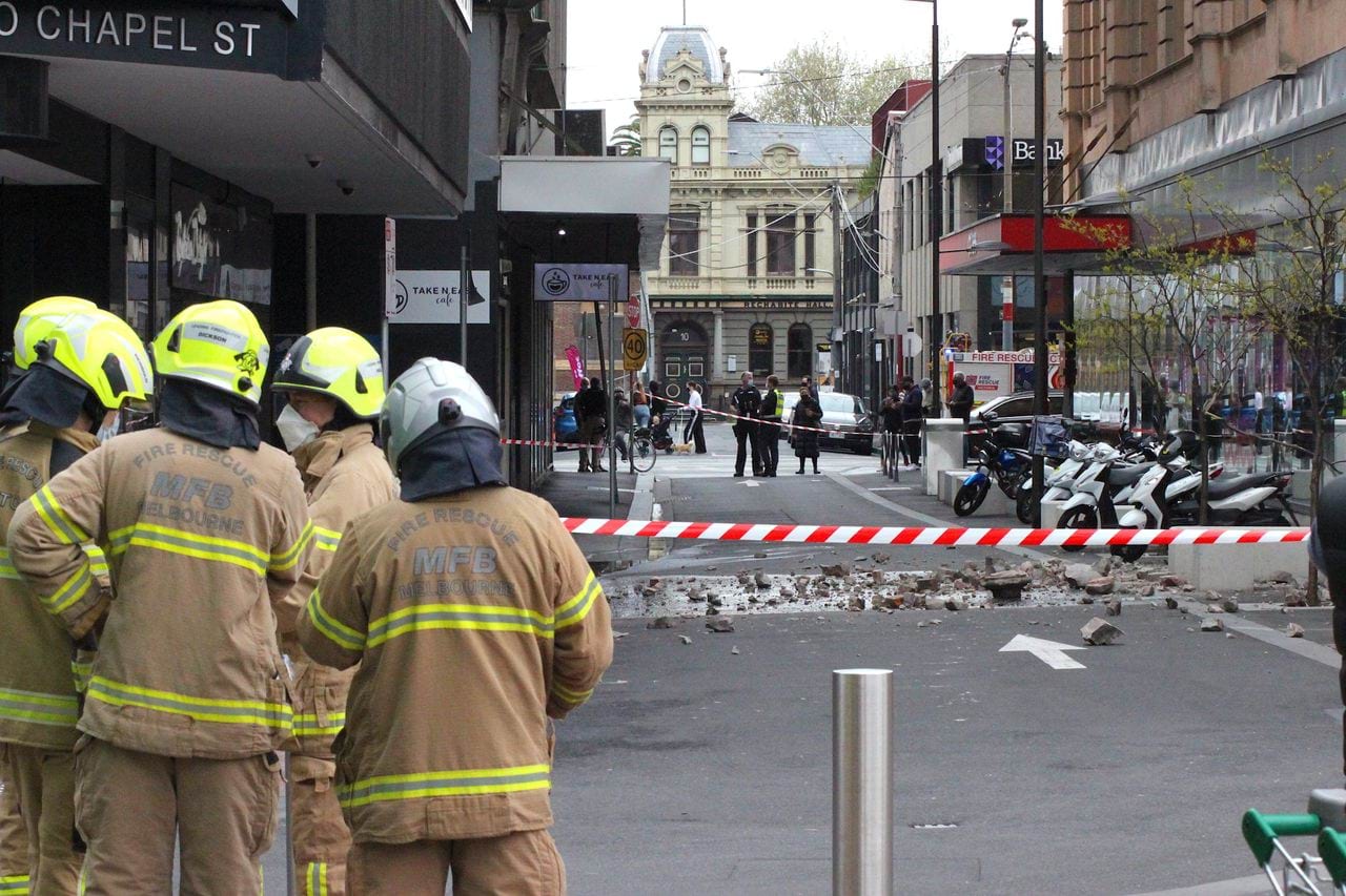
Retrofitting Melbourne’s buildings to withstand earthquakes
Cost-effective mitigation strategy development for building-related earthquake risk.
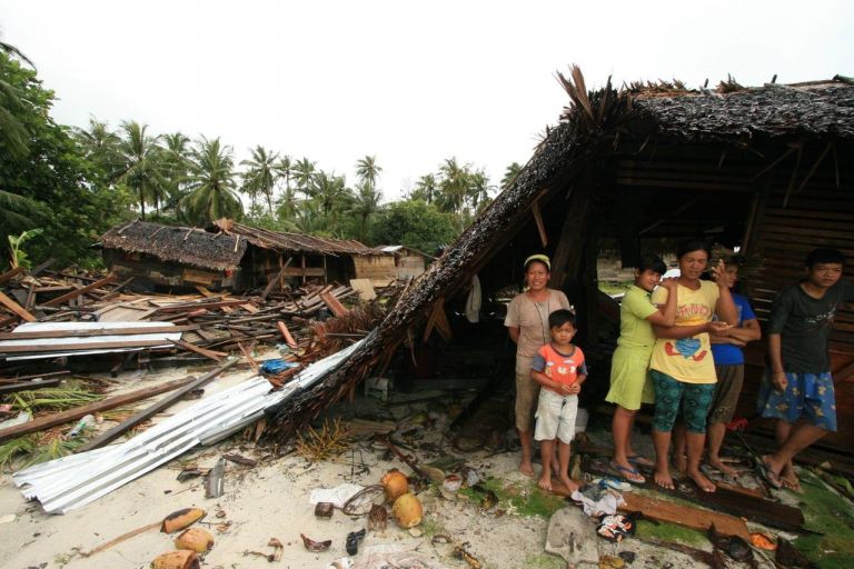
Better science supports better disaster management in Indonesia
Ten years of helping the Indonesian Government to plan, manage and respond to natural disasters.
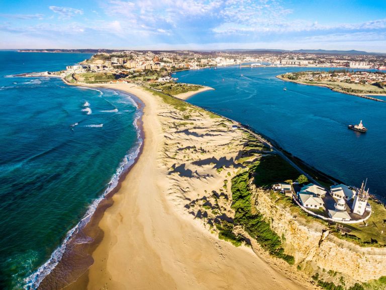
Improving Australia’s resilience to storm cluster disaster events and coastal erosion
Developing a national method to support better coastal erosion decision making across Australia.
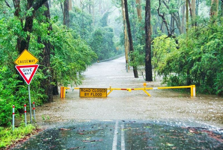
Developing scalable flood vulnerability models to better understand flood risk to communities
Transforming detailed flood impact models into scalable models for broader use in the community.
Understanding the risks of severe winds in South-East Queensland
Assessing wind hazard risk and residential building vulnerability in South-East Queensland.
Improving forecasting for wind impact across Australia’s coastal regions
How Geoscience Australia developed a new forecasting method using numerical weather prediction modelling.