Case study Better science supports better disaster management in Indonesia
How Geoscience Australia’s ten-year partnership with the Indonesian Government has made Indonesian communities safer through enhanced natural disaster planning, response and management.
Page last updated:9 July 2020

The problem
Improving community safety in a disaster-prone nation
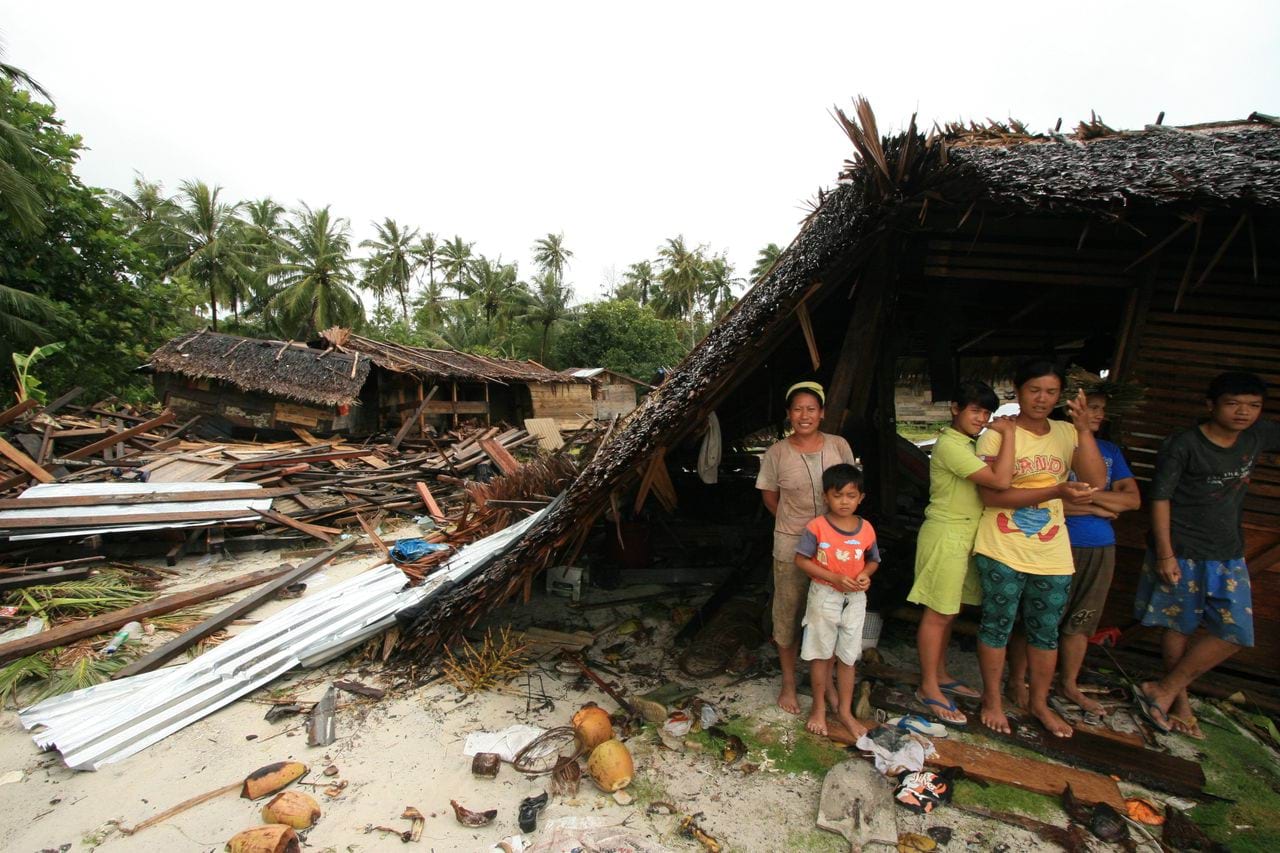
Indonesia is one of the most disaster-prone countries in the world with, on average, 482 natural disasters each year. Made up of over 17,000 islands, the nation lies within the Pacific Ring of Fire, resulting in frequent geohazards like earthquakes, tsunami, landslides and eruptions from the country’s 128 active volcanoes. Meteorological hazards are also very common, with floods, strong wind and bushfires regularly affecting its inhabitants.
The epicentre of the magnitude 9.1 Indian Ocean earthquake on 26 December 2004 was off the coast of Indonesia’s Aceh province, and the resulting tsunami caused more than 167,000 casualties across Indonesia, and an estimated US$4.4 billion of economic and infrastructure damage to the country.
Successfully managing natural hazard risk in a country with so many natural disasters is a huge challenge and will only be achieved with timely access to high-quality scientific data and research – something Indonesia was lacking in the immediate aftermath of the devastating 2004 tsunami event.
The solution
Collaborating to improve Indonesia’s capacity to produce evidence-based natural hazard information to support disaster management
In response to the events of 2004, in 2008 Indonesia established the National Disaster Management Agency (BNPB) with the aim of reducing the impacts of disasters in Indonesia. From 2008 to 2018, Geoscience Australia partnered with BNPB, other Australian and Indonesian government agencies, and several universities to support Indonesia's efforts to strengthen their disaster management capabilities.
Geoscience Australia’s ten-year partnership:
- increased the country’s capacity to produce and use natural disaster information for hazards such as earthquakes, tsunamis, volcanoes and floods
- improved hazard-related spatial exposure data, letting communities identify risk to their populations, buildings, roads and other infrastructure
- provided the Indonesian Disaster Management Agency (BNPB) with direct access to the InaSAFE decision-support tool, helping them to develop contingency plans and manage disaster response plans quickly and effectively.
The result has been a new evidence-based disaster management policy for Indonesia, and improvements in disaster management decision making, benefiting many Indonesians in disaster-prone regions. Indonesian communities can now prepare for worst-case scenarios, reduce long-term impact, prevent infrastructure damage, respond to disasters quickly and safely, and save lives.
Geoscience Australia works with state and local governments and the emergency management industry sector across Australia to develop local hazard assessments. For more information, contact hazards@ga.gov.au
How we got there
Using data and technology to underpin natural disaster management
The Indonesian Government and its science agencies now have enhanced modelling capabilities and better access to disaster data – all of a much higher quality than previously available. This means Indonesia can now assess the potential impact of natural disasters more accurately, improving the country’s preparation plans and reducing hazard risk nationally.
The decade-long partnership has had many benefits:
- A strengthening of relationships and partnerships between Indonesian disaster management stakeholders and science agencies has meant that national earthquake hazard maps are now developed collaboratively. The National Seismic Hazard Assessment 2017 is a state-of-the-art model developed collaboratively with input from over 100 Indonesian earthquake scientists, coordinated through the National Centre for Earthquake Studies (PuSGeN).
- The first national-scale probabilistic tsunami hazard assessment was developed, informing where investments in tsunami mitigation are made. Local scale tsunami inundation maps developed by the Geological Agency of Indonesia (BG) now support evacuation route planning, informing the design and location of critical buildings and infrastructure.
- The Indonesian Agency for Meteorology, Climatology and Geophysics (BMKG) now provides more accurate tsunami warnings and real-time earthquake impact information, resulting in safer communities and more efficient disaster response across the country.
- Volcanic ash fall models developed by BG are now used to plan and respond to volcanic eruptions.
- A new partnership between BNPB and the Humanitarian OpenStreetMap Team (HOT) uses openly available data to identify buildings and roads that could be impacted by a disaster. Over 12.6 million buildings and 400,000 kilometres of roads have now been mapped.
- The open source InaSAFE software, developed through a partnership between BNPB, the Australian government and The World Bank, produces realistic natural hazard impact scenarios for better planning, preparedness and response activities. It provides a simple but rigorous way to combine data from scientists, local governments and communities to provide insights into the likely impacts of future disaster events the impacts of natural hazard events.
- The Institute of Technology Bandung (ITB) has established the Graduate Research in Earthquakes and Active Tectonics (GREAT) program to train the next generation of earthquake hazard scientists. Four PhD and 30 master’s students have already graduated.
- The partnership program has seen the development of a series of online guides which aim to empower Indonesian communities to collect hazard data. This increased knowledge of local environments has led to better support from disaster management agencies during hazard events.
Looking forward
A future of collaboration, education and improved safety
- The ten-year partnership between Indonesia and Australia has allowed Geoscience Australia to establish strong ongoing research connections with hazard scientists from both countries. These professional relationships will continue to grow and deepen, providing many mutual benefits and opportunities for potential cross-country research collaborations.
- The new Indonesian earthquake hazard map developed as part of the program is being used to ensure buildings can better withstand earthquakes, and future updates of the Indonesian building code will be amended to reflect this.
- As a result of the program, training in InaSAFE and OpenStreetMap online hazard data tools is now included as part of the curriculum at leading Indonesian universities. This ensures that the next generation of emergency managers graduate already experienced in the latest disaster technology.
- Partnership collaboration has also led to the Australian National University (ANU) offering a joint master's degree program with the Institute of Technology Bandung (ITB). This will ensure research scientists have a greater understanding of the complex tectonic environment of our shared Indo-Pacific region.
- Data and tools developed through the partnership are now being used internationally by organisations such as United Nations Office for the Coordination of Humanitarian Affairs (OCHA) and the World Food Programme (WFP). Charities are now rolling aspects of the program out across other major Indonesian cities.
- A better understanding of the source of earthquakes and tsunamis in our region gained through the partnership with Indonesia has informed the most recent updates to Australia’s Probabilistic Tsunami Hazard Assessment (PTHA) and National Seismic Hazard Assessment. Ongoing collaborations will inform the development of future hazard and risk models for both Australia and Indonesia, reflecting the transnational impacts of large events in our region.
How we can help you
Contact us to gain a better understanding of the natural disaster profile in your country, state, region or sector so you can develop targeted and effective risk mitigation and risk reduction strategies.
Our hazard and data resources can help identify your region’s high-threat areas so you can make better-informed natural hazard decisions.
Email hazards@ga.gov.au


