Case study Improving forecasting for wind impact across Australia’s coastal regions
How Geoscience Australia developed a new forecasting method using numerical weather prediction modelling.
Page last updated:10 May 2022

The problem
Limitations in the weather forecasting models used to predict wind and rain event impact
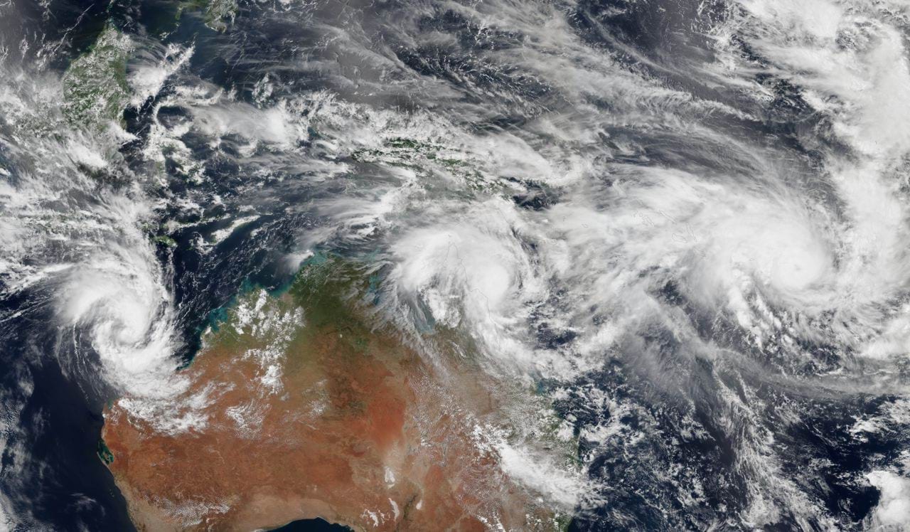
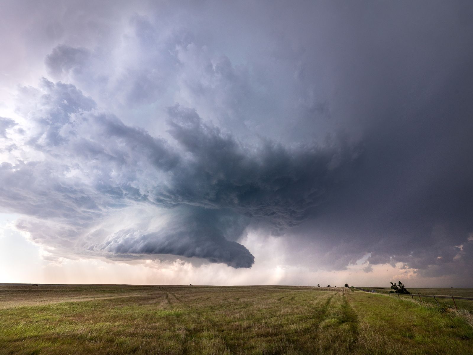
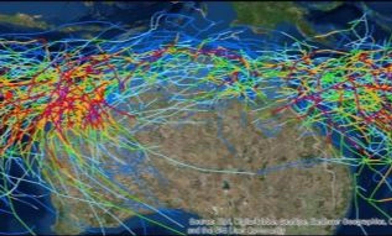
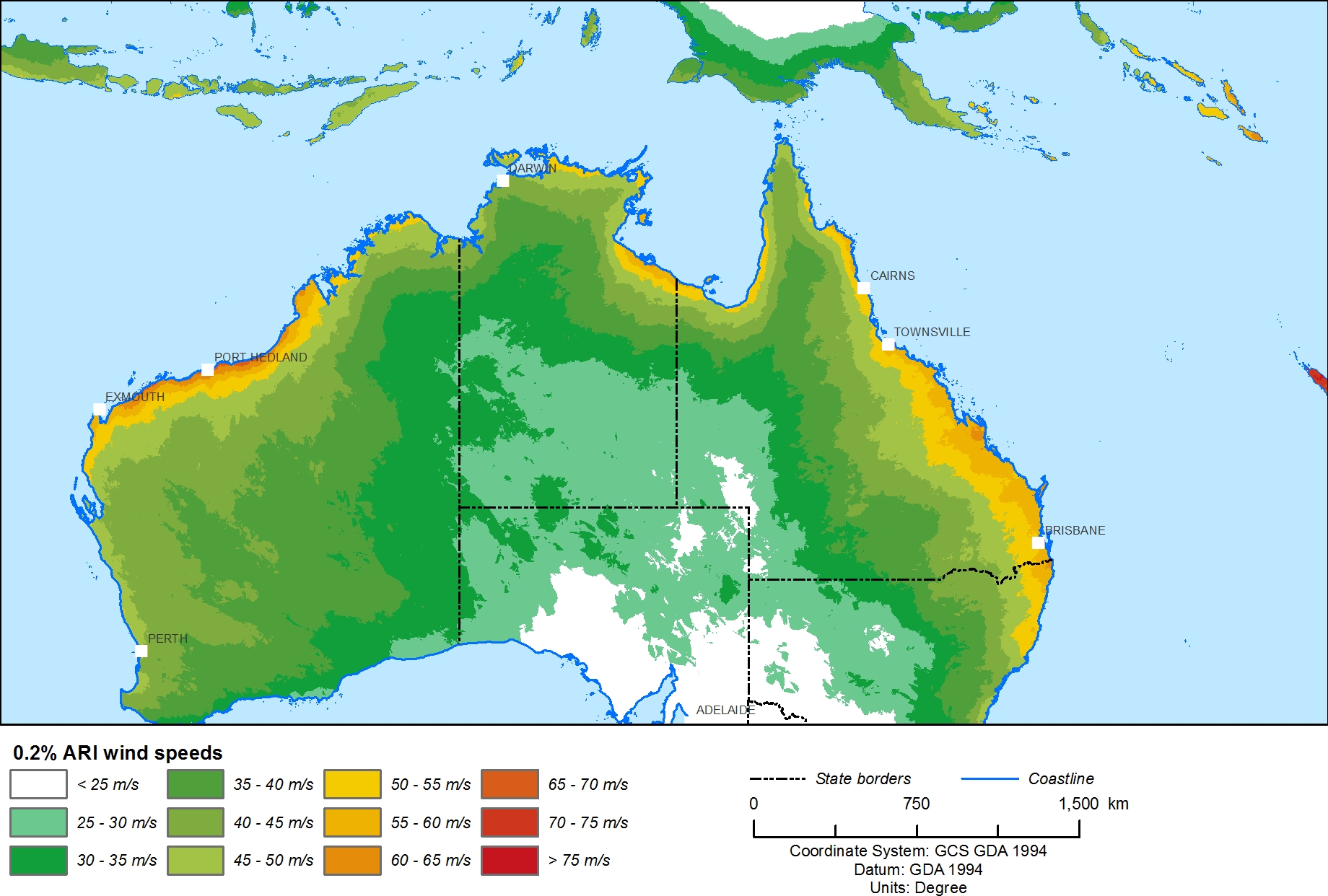
Strong surface wind gusts and heavy rain are meteorological hazards mainly produced by storms such as extratropical cyclones (including east coast lows), tropical cyclones and thunderstorms. These hazards can have significant impact on the natural and built environment, causing flooding, coastal surge, erosion and building damage.
Having accurate and informative forecasting information is critical for the emergency response sector so they can prepare in advance for wind and rain events likely to cause impact. In the event of an approaching hazard, communities need to understand the effect that wind, rain and flood will potentially have on residential, commercial and industrial buildings, power generation and distribution, and other services.
Unfortunately, existing weather forecasting models only provide predictions of raw meteorological information, such as surface wind speeds and rain accumulations, for specific times or periods. This limits the data and information emergency managers and responders can draw upon to gauge the risk associated with an upcoming weather event. It also makes predicting its likely impact very difficult.
The solution
Developing a new impact prediction model that measures exposure and vulnerability
Over a 3-year period from 2017 to 2020, Geoscience Australia collaborated with the Bureau of Meteorology and the Bushfire and Natural Hazards Cooperative Research Centre on the ‘Impact-based Forecasting for the Coastal Zone: East Coast Lows’ project. The aim of the study was to demonstrate that a new, more robust system for estimating the spatial wind impact on residential properties could be created.
Combining wind hazard hindcasts and meteorological forecast data with exposure and vulnerability information, the project team developed a new way of modelling that translated a forecasted hazard into an impact prediction. They successfully applied this new impact forecast methodology to a live extreme weather event in Perth in May 2020, when an extra-tropical cyclone produced widespread wind gusts and damage.
Geoscience Australia works with state and local governments and the emergency management industry sector across Australia to develop local hazard assessments. For more information, contact hazards@ga.gov.au
How we got there
Analysing historic weather data and wind hazard predictions to demonstrate impact
Researchers analysed wind and rainfall impact data from a historic east coast low event that occurred in Dungog in New South Wales in April 2015, as well as the Kurnell tornado event south of Sydney in December 2015, and another Sydney east coast low event in June 2016.
The project used three different types of information: hazard data, vulnerability data and exposure data.
- A hazard was classed as the wind field of a magnitude likely to cause impact or result in damage. The project used hazard data derived from the ‘City Model’ in the Bureau of Meteorology’s Australian Community Climate Earth System Simulator (ACCESS) Australian Parallel Suite 3. The team found that, as the raw model output was not the most suitable estimator for wind damage, it needed to be considered alongside other data.
- Vulnerability describes how susceptible an asset is to the actions of the hazard. The project used NSW State Emergency Service (NSW SES) impact data drawn from the 2015 Dungog east coast low, combined with nationally available Geoscience Australia severe wind vulnerability models
- Exposure information describes the assets that are likely to be affected by the hazard. The project team gathered exposure information from Geoscience Australia’s National Exposure Information System, which specifies building location, building size and building shape, and includes structural, economic and demographic attributes.
The project team used Geoscience Australia’s Hazimp hazard impact assessment software to combine the historic wind and rainfall impact data with wind hazard predictions from existing Bureau of Meteorology models and demonstrate a useful spatial wind impact estimate for residential buildings.
Looking forward
Progressing from forecasting hazard to modelling vulnerability, exposure and impact
- National Hydro-Meteorological Centres (NHMCs) around the world have stated that impact (rather than hazard) forecasts are a major new strategic direction. The prototype system developed by Geoscience Australia and the Bureau of Meteorology is well placed to meet emerging demand for impact forecasts.
- The project highlighted issues with historic wind and rain event data, which had led to incomplete damage assessment, hazard and impact information in the past. Moving forward, a range of data collection process improvements have been identified which will help to streamline quantitative impact forecasting in the future.
- Geoscience Australia has automated the workflow process used in this project, using ACCESS-C3 wind gust data as the hazard driver. This will see a wider adoption of some of the project’s groundbreaking research methods.
- Geoscience Australia plans to undertake further extreme weather projects and studies in the future and, using similar techniques, is particularly keen to create threat polygons and exposure reports for predicted severe thunderstorms.
- Geoscience Australia will capitalise on new connections made during the project with the UK Met Office’s Weather Impact Team and the World Meteorological Organization’s (WMO) Human Impacts, Vulnerability and Risks Task Team. Strengthening our relationships with world-leading scientists will help improve the quality assurance of future Australian meteorological hazard impact prediction work.
How we can help you
Contact us to gain a better understanding of wind and rainfall forecasting in your state, region or sector, so you can develop targeted and effective risk mitigation and risk reduction strategies.
Our end-to-end wind and rainfall hazard resources can help identify your region’s high-threat areas so you can make better-informed natural hazard decisions.
Email hazards@ga.gov.au
