Data product Australian Flood Risk Information Portal (AFRIP)
Access an extensive catalogue of multisource, standardised flood data up to 2018.
Page last updated:13 February 2025
A consistent approach to gathering flood risk information
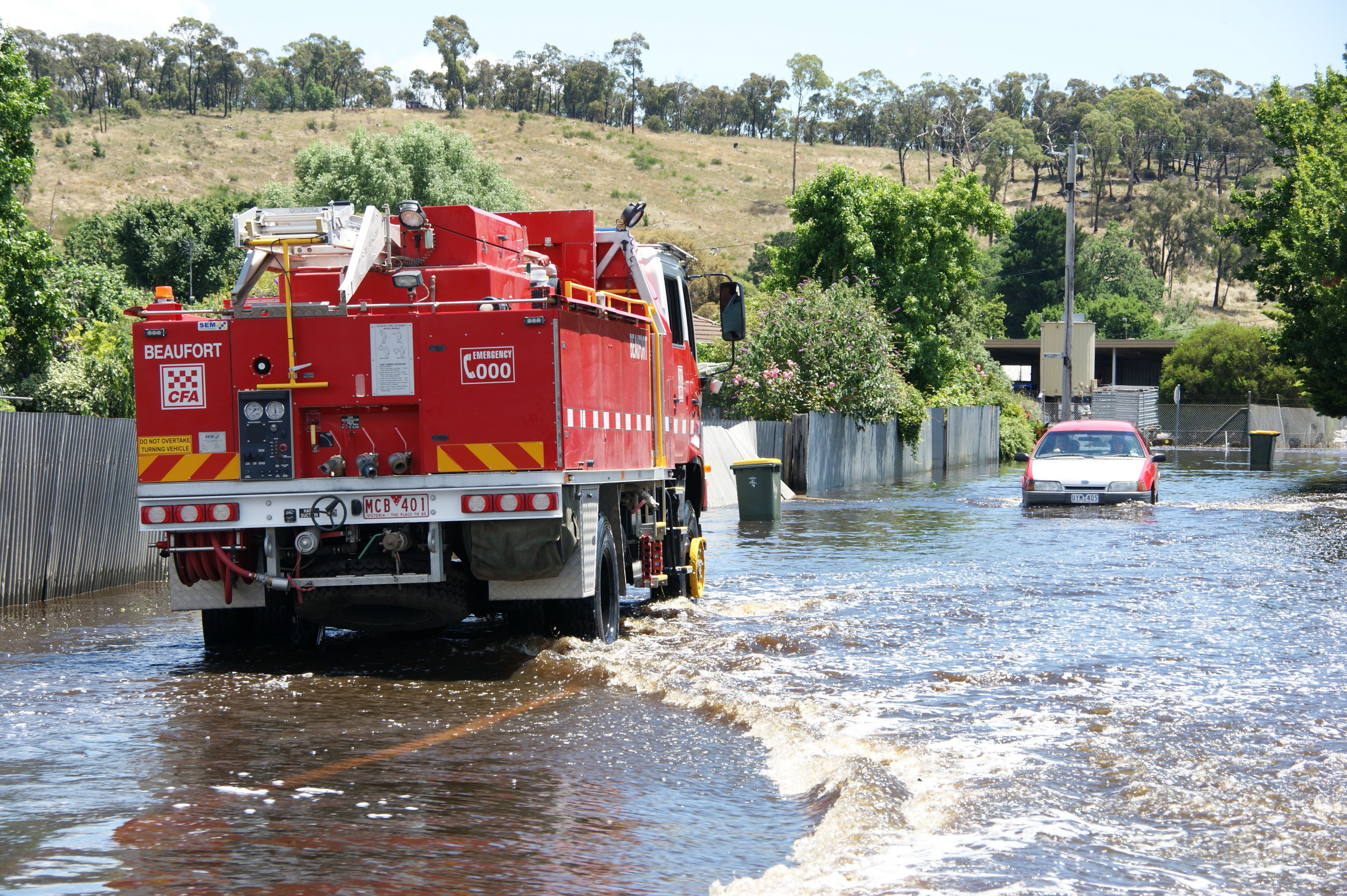
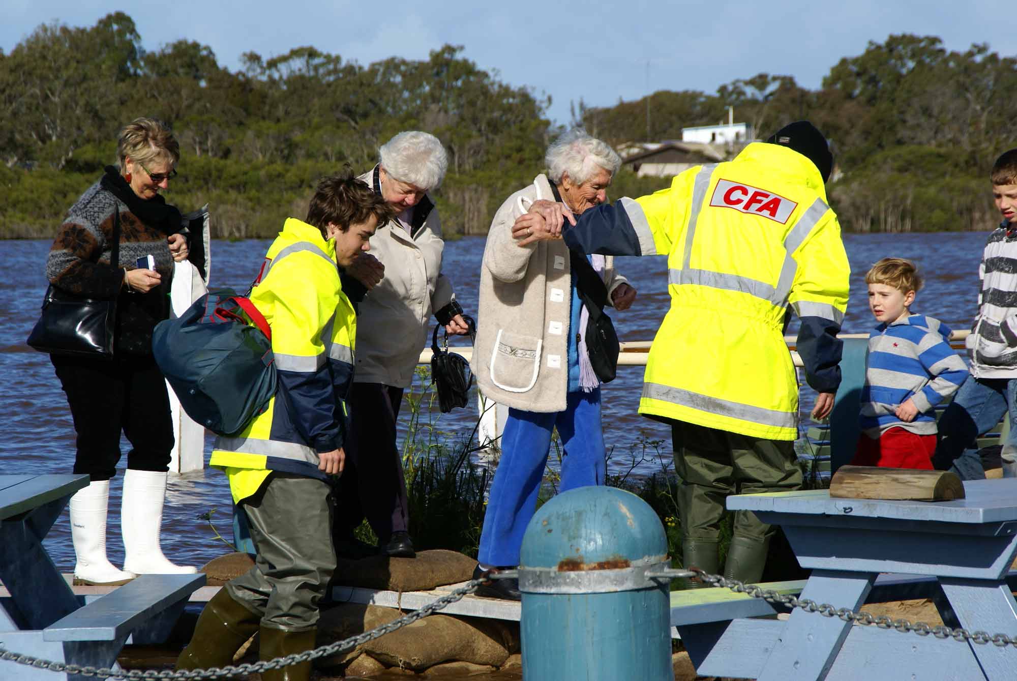
The Australian Flood Risk Information Portal (AFRIP) objective was to create a central online location where high-quality flood risk information is stored. Allowing access to current and readily available data would help emergency managers to raise awareness on flood risks and hazards around Australia.
However, due to uncertainty in the ownership of the flood study information the site can only publish details of the study and associated data, not the actual flood study. Except where ownership has been clearly established.
Flood studies and flood maps were contributed by authoritative sources such as local, state and territory governments up until 2018. These form the Australian Flood Studies Database – the main catalogue which makes up the portal. Having access to this data complements existing or planned state/territory flood information. It also helps inform gaps in flood study coverage as of 2018.
Who is the AFRIP for?
AFRIP provides a catalogue of evidence-based data to engineers, insurers, emergency managers and the public so they know where floods are likely to occurr. This helps people and organisations better prepare for and mitigate against flood risks.
Researchers and consultants can search through flooding information to understand what data was available up until 2018 and better plan for further studies by utilising information already available in the portal.
Members of the insurance industry can use AFRIP and associated products to better assess premiums by having access to comparable information from multiple studies across Australia.
The AFRIP allows members of the public and local communities to search flood information that existed for their area up until 2018.
Registered users and contributors to the Australian Flood Studies Database included state authorities, local councils, consultants and authorised data custodians who are typically responsible for the creation or publication of flood hazard information.
How the AFRIP works
- It consists of over 1500 references for flood studies and maps up until 2018, which provide an understanding of Australia’s flood hazards and risks, allowing communities, researchers and planners to be better prepared for floods.
- It also provides surface water observations derived from the analysis of satellite data up until 2018.
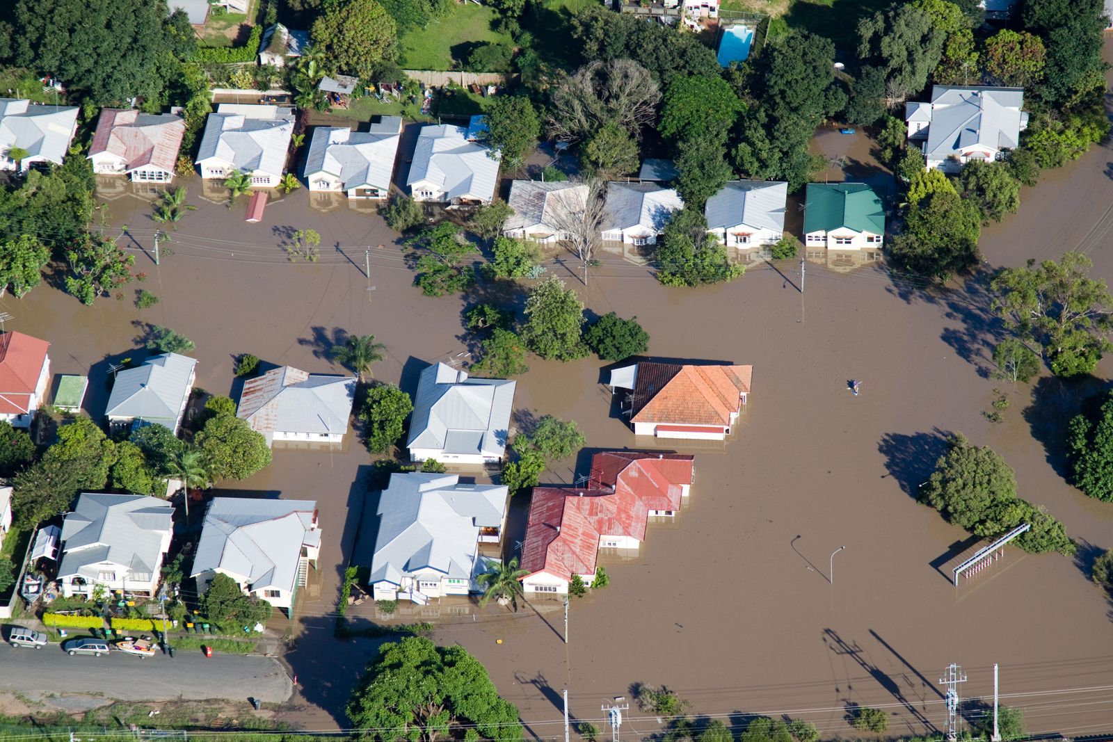
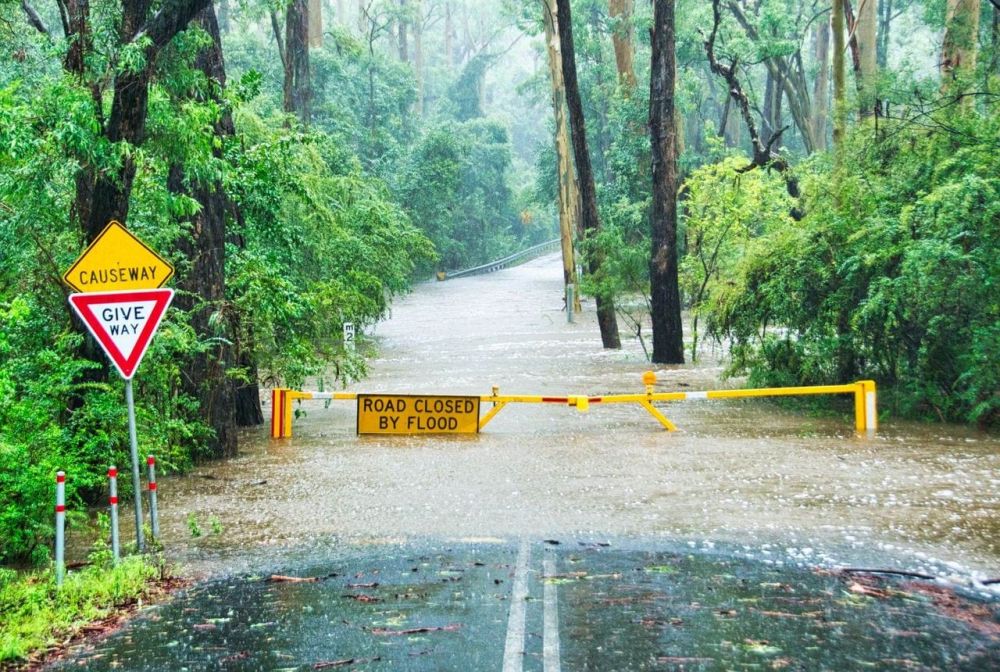
- A flood study is a scientific investigation of flooding in a particular area – often the catchment of a river system. The purpose of a flood study is to determine whether water is likely to inundate the surrounding landscape in a modelled flood event and to calculate the likely depth of any water.
- A flood map is the result of a flood study analysis and shows models of various scenarios of flooding. It considers many factors including terrain, water catchments, flood marks and historical data, and assesses the probability of a flood occurring in the area of study.
- The portal draws information from the Australian Flood Studies Database to visually display existing flood studies and flood maps up until 2018, where they can be shared.
- You can search the portal by flood study ID, flood study type or location/address, or interact with the national map to select individual flood studies.
- Flood studies included in the database specify when the report was completed, the commissioning organisation, the lead consultant, watercourses included, flood risk, flood assessments, modelled scenarios and mitigation recommendations.
- The portal’s data management tools and standards ensure that data is standardised, compliant and comparable.
Good to know
AFRIP is maintained by Geoscience Australia as a record of flood studies completed up until 2018. All information contributed to the Australian Flood Studies Database is available for re-use, unless otherwise stated. The ownership of each flood study remains with the listed commissioning organisation or author. You should refer to each individual flood study report to determine if any usage constraints exist.
Looking forward
Geoscience Australia will continue to manage the AFRIP as a snapshot of flood studies completed up until 2018, as we recognise the importance of incorporating evidence-based research to help Australian communities prepare for flood – Australia’s most costly natural disaster. Providing a national access point for flood information and data collected up until 2018 will continue to benefit emergency management services, communities and organisations to understand the risks before, during and after a flooding event.
Case study Developing accessible flood models to reduce flood vulnerability
Developing accessible flood models to reduce flood vulnerability
Transforming detailed flood impact models into scalable models for broader use in the community.

This research represents an important step in the development of curves that can be applied consistently across different flood catchments by individuals or organisations that may not have a complete picture of the building stock potentially exposed to flood waters.
Director, Vulnerability, Spatial Division, Geoscience Australia
Related products
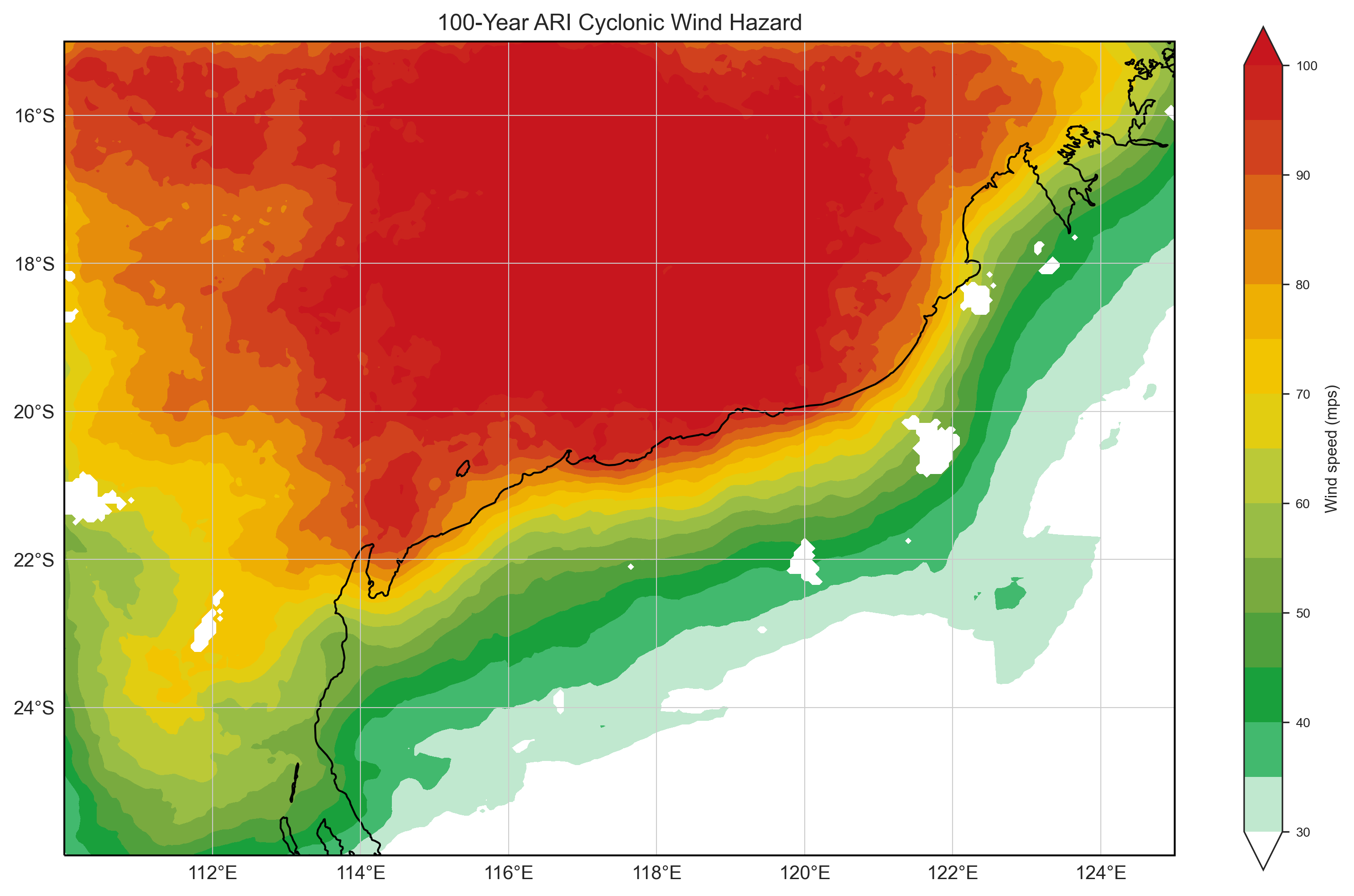
Tropical Cyclone Risk Model Software (TCRM)
Estimate average recurrence interval wind speeds and potential tropical cyclone wind hazard.
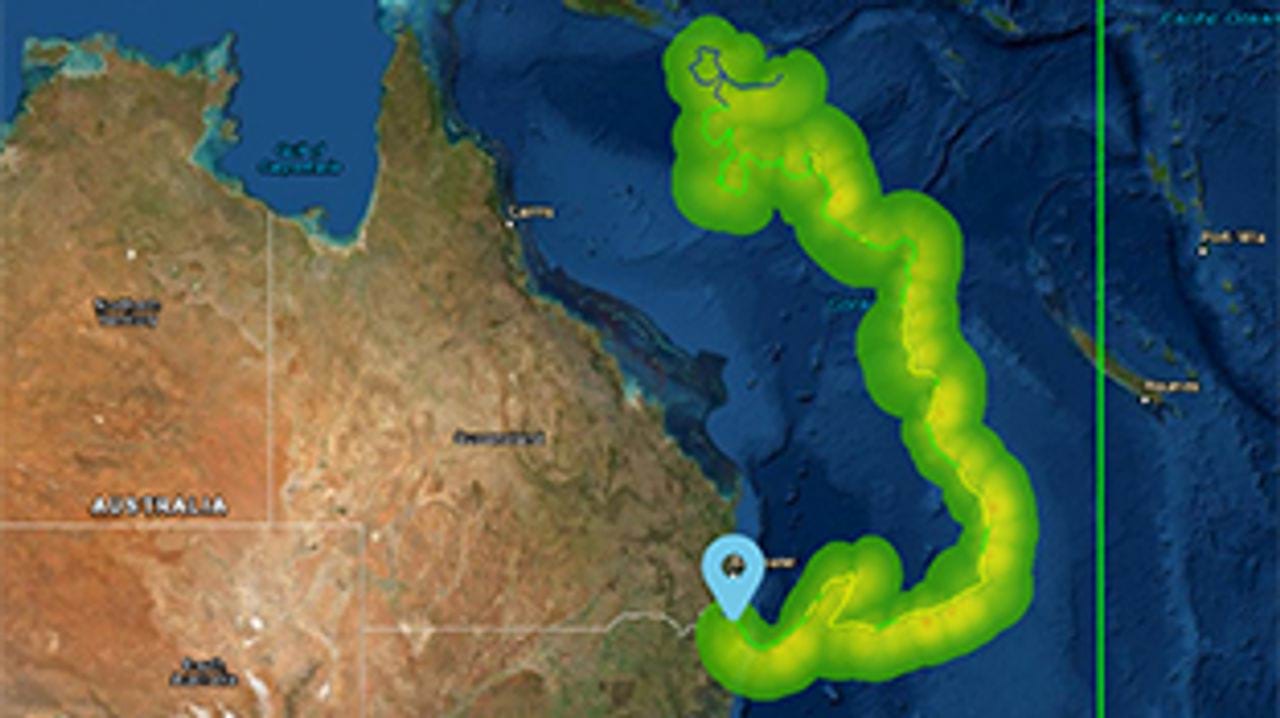
Tropical Cyclone Scenario Selector Tool
Use this interactive tool for querying, visualising and downloading cyclone scenarios plausible future tropical cyclone scenarios used for risk management and planning.
Wind multipliers
Learn more about our significant research on wind speed undertaken due to its importance in predicting, mitigating and managing major risks and hazards caused by wind.

National Exposure Information System
Use our nationally consistent exposure data to help understand what could be at threat from natural hazards.