Derived data product DEA Water Observations
Page last updated:19 September 2024
Witness the history of surface water
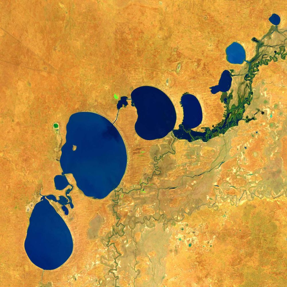
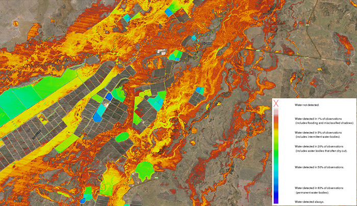
Digital Earth Australia (DEA) Water Observations uses an algorithm to classify each pixel from Landsat satellite imagery as ‘wet’, ‘dry’ or ‘invalid’. Combining the classified pixels into summaries, covering a year, season, or all of time (since 1987) gives the information on where water is usually, and where it is rarely.
The DEA Water Observations methodology has now been used in Switzerland, Columbia, and across all of Africa.
A detailed understanding of water availability allows us to better understand wetlands, water connectivity and surface-groundwater relationships.
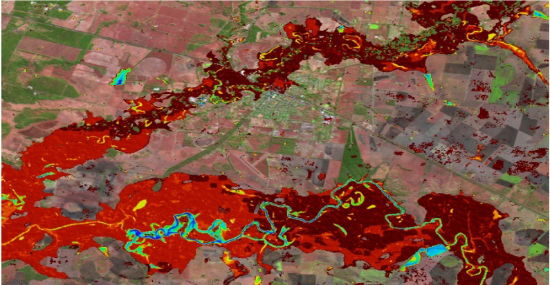
DEA Water Observations showing historical water extents around the Queensland town of Condamine. Red areas show that in rare occasions the water in the Condamine and Balonne rivers spill onto the floodplains and into the town during major flood events.
Why monitor surface water?
- Understand where flooding may have occurred in the past
- Reveal how permanent surface water is likely to be for future planning
- Assist with wetland analyses, water connectivity, and surface-ground water relationships
- Get insights into surface water changes per year for drought analysis
- Understand the differences in water availability between summer and winter
Imagery for impact Protecting a precious resource in the Murray-Darling Basin
Digital Earth Australia datasets have helped raise New South Wales’ capacity for water governance by 500 per cent.
Related resources
Water data and Australian floods
Water observations from space contribute to a greater understanding of flooding, writes Director of DEA Product Development, Norman Mueller.
Journal Article
Water observations from space: Mapping surface water from 25 years of Landsat imagery across Australia.

Seminar: Australian Water
Hear from Digital Earth Australia’s Dr Claire Krause about using satellite information in decision making.