Data product Joint Australian Tsunami Warning Centre (JATWC)
Receive alerts of potential tsunami-generating earthquakes.
Page last updated:18 June 2024
Reliable, real-time tsunami warnings
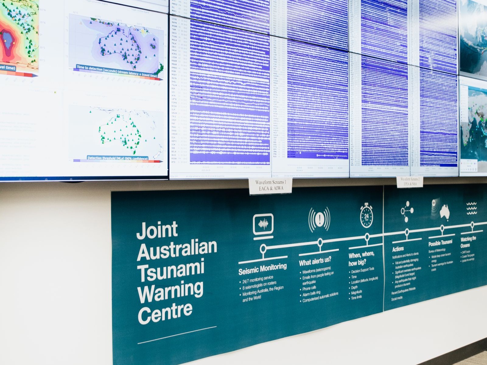
The Joint Australian Tsunami Warning Centre (JATWC) provides 24 hour tsunami monitoring, assessment and warnings.
It examines real-time data from Australian and international seismic stations and, in the event of an oceanic earthquake, determines the likelihood of a tsunami occurring. If a tsunami does eventuate, JATWC assesses its potential impact and issues warnings for Australia and our Indian Ocean-region neighbours.
The JATWC is part of the Australian Tsunami Warning System which is the mechanism responsible for providing timely tsunami warnings for Australia. JATWC is also a regional Tsunami Service Provider for the Indian Ocean Tsunami Warning and Mitigation System.
Who is the JATWC for?
Australian governments and emergency managers rely on the JATWC’s alerts, information and advice in the event of a tsunami threat.
Relevant authorities, such as port and maritime organisations, the Department of Defence, Surf Life Saving Australia and the Australian Maritime Safety Authority also receive JATWC’s tsunami warnings. Media organisations across Australia use JATWC information to provide the public with up-to-the-minute tsunami risk information.
Emergency professionals use JATWC bulletins, data and research to inform disaster management and evacuation plans, helping to reduce tsunami risk and improve community safety across Australia.
Many countries across the Indian Ocean region also rely on JATWC information to define the level of tsunami threat in their area and determine the warnings they’ll issue to their communities.
How the JATWC works
- The JATWC is operated by Geoscience Australia and the Bureau of Meteorology.
- Our role is to monitor seismic information 24 hours a day, 7 days a week, and to detect large earthquakes which may cause a tsunami.
- Geoscience Australia receives real-time data from approximately 100 Australian and 500 international seismic stations.
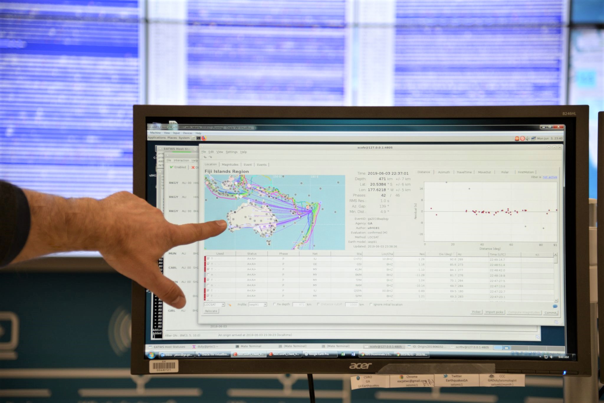
- When a large earthquake occurs in the Pacific, Indian, Southern or south Atlantic oceans or coastal areas, we determine critical information such as time, location, depth and magnitude of the earthquake.
- This information is sent to the Bureau of Meteorology’s JATWC office within 10 minutes of the earthquake occurring, then assessed by their officers, who determine whether the earthquake has the potential to cause a tsunami.
- Approximately 90 percent of tsunamis are caused by earthquakes.
- The JATWC uses data and modelling to forecast whether the tsunami is likely to pose a threat to Australia and/or Indian Ocean countries
- The JATWC recognises two categories of tsunami threat:
- Marine threat for dangerous rips and currents – when people should move away from the water’s edge but don’t need to evacuate.
- Land threat – when low-lying coastal areas may be inundated and evacuation is required.
- If a tsunami threat is forecast, the Bureau of Meteorology issues warnings and bulletins to the emergency services, media and other agencies.
- The warnings estimate the tsunami arrival time, the level of risk and coastal regions which are likely to be impacted.
- For Australia, these are issued by the Bureau of Meteorology within 20 minutes of receiving our initial alert. This means the alarm is raised for Australia within 30 minutes of the tsunami’s origin time. For all potential sources of tsunami, this allows at least another 90 minutes for public warnings and evacuations before a tsunami would reach the Australian coast.
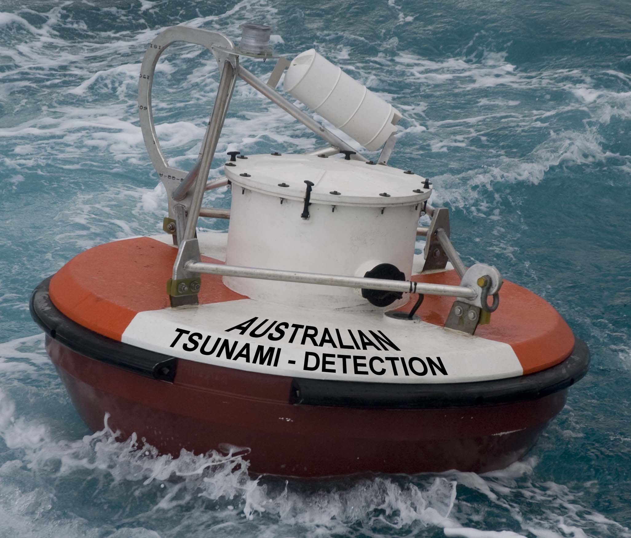
- The Bureau of Meteorology uses its network of sea-level monitoring equipment, including tsunami detection buoys and tide gauges, to verify whether the earthquake has generated a tsunami and, if it has, to reassess the threat level and issue update bulletins and information.
Good to know
The JATWC was established to detect, monitor, verify and warn the community of possible threats to Australian coastal locations. It aims to provide emergency managers with a minimum of 90 minutes of warning time in the event of a likely tsunami impact on Australia. The JATWC also participates in regular international communication tests and tsunami exercises. These initiatives have the potential to protect infrastructure and save thousands of lives, both in Australia and across the Pacific region.
Looking forward
The JATWC is a long-term investment in Australia’s security, and part of the Indian Ocean and Pacific Ocean tsunami warning systems. Geoscience Australia and the Bureau of Meteorology will continue to build upon the unique relationship forged by the JATWC, using their combined expertise in seismic and sea-level monitoring to keep Australian and international communities safe from tsunami events.
