Hazards Supporting Australia’s community safety
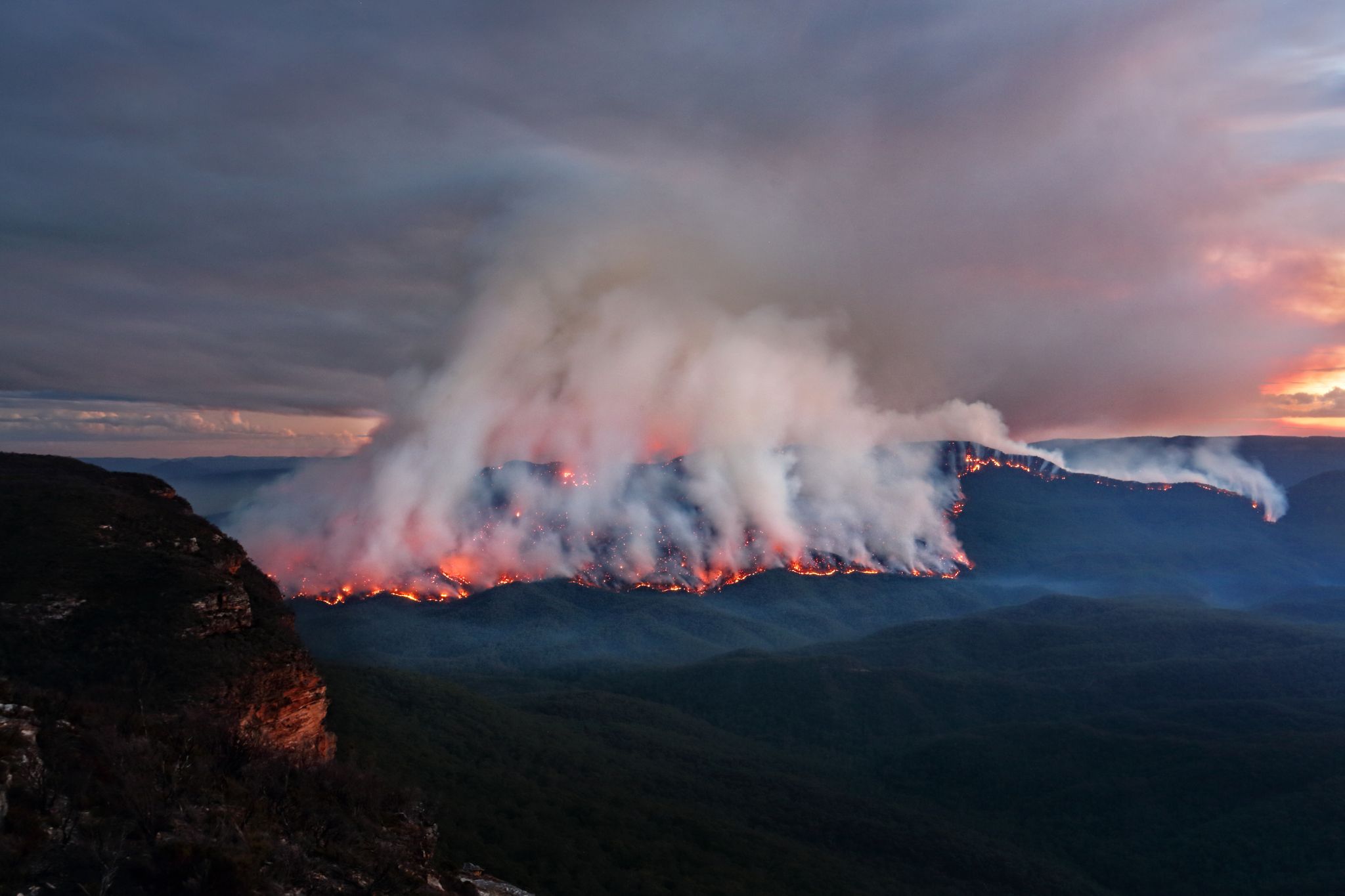
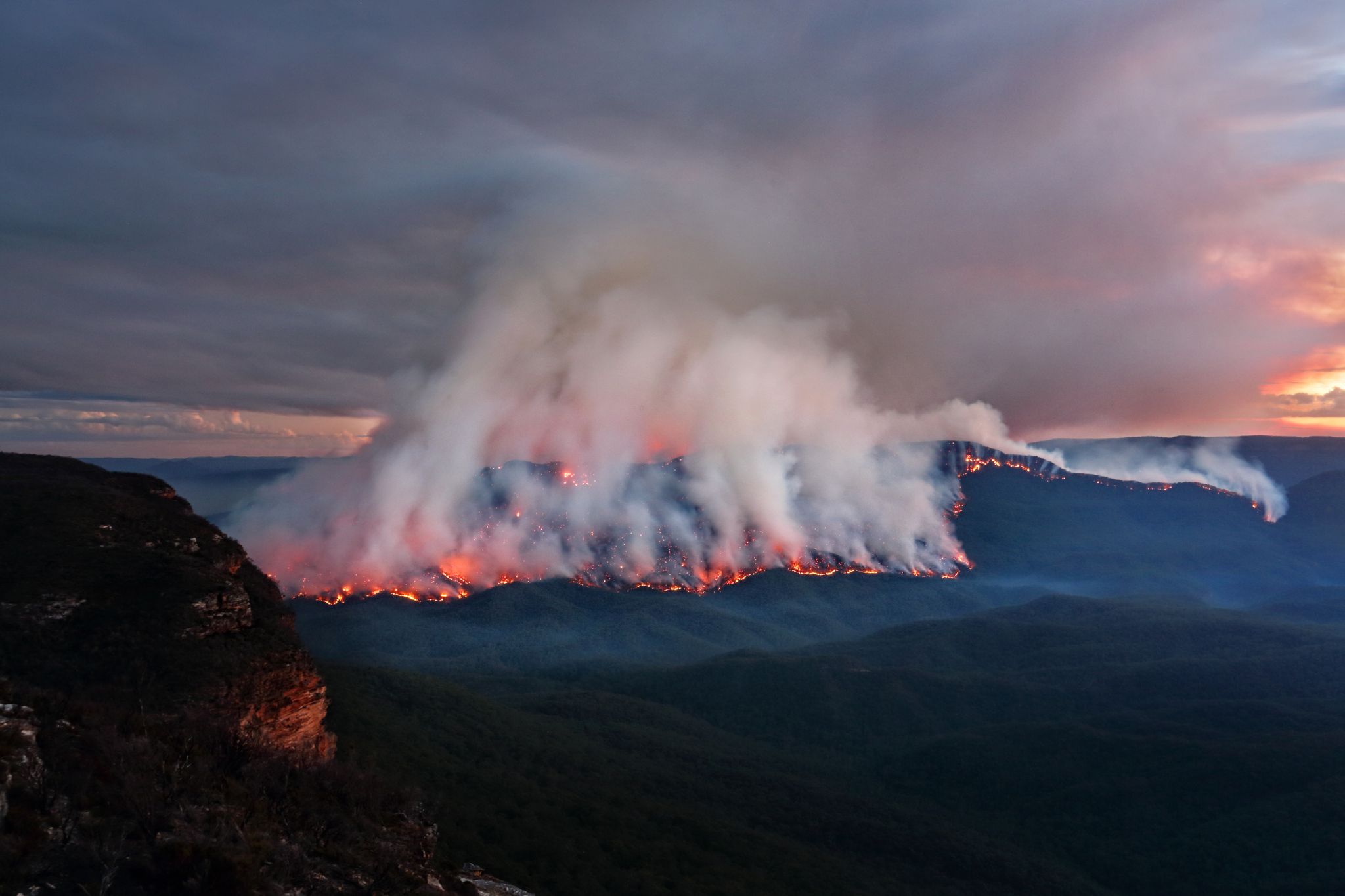
Bushfire

Our team supports Australia’s ability to manage the impact of bushfires and helps inform decisions about risk.
Bushfire Learn more
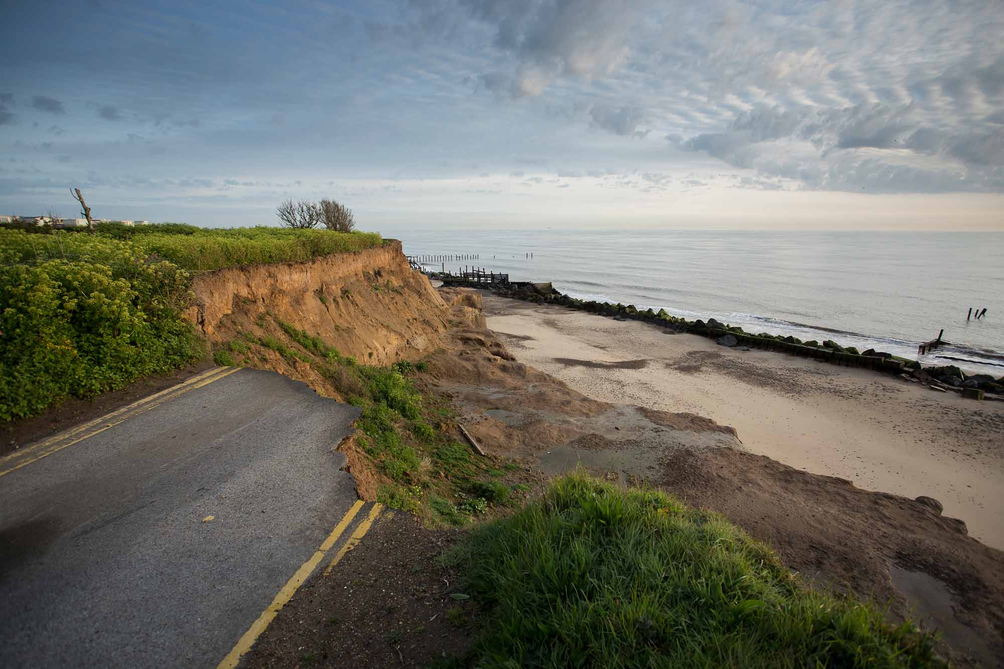
Coastal erosion

Our team supports Australia’s ability to manage the impact of coastal erosion and helps inform decisions about risk.

Coastal erosion Learn more
Sheep beside a water hole on an Australian farm during summer. Credit Nils Versemann via iStock
Drought

Our team supports Australia’s ability to manage the impact of drought and helps inform decisions about risk.

Drought Learn more
Historic image of a railway now permanently bent into a wiggled shape, still in parallel, though unusable, as a result of the Meckering earthquake in 1968.
Earthquake

Our team supports Australia’s ability to manage the impact of earthquakes and helps inform decisions about risk.

Earthquake Learn more
SYDNEY, AUSTRALIA - MARCH 23: State Emergency Service workers drive their rescue craft through the flooded Hawkesbury river along Inalls lane in Richmond on March 23, 2021 in Sydney, Australia. Evacuation warnings are in place for parts of Western Sydney.
Flood

Our team supports Australia’s ability to manage the impact of flood and helps inform decisions about risk.

Flood Learn more
Scientist monitors screens in the National Earthquake Alert Centre.
Man-made

Our team supports Australia’s ability to manage the impact of man-made hazards and helps inform decisions about risk.

Man-made Learn more
A solar storm photo by NASA.
Space weather

Our team supports Australia’s ability to manage the impact of space weather and helps inform decisions about risk.

Space weather Learn more
An amazing looking super cell storm cloud forming on the east coast of Queensland, Australia.
Tropical cyclone and severe wind

Our team supports Australia’s ability to manage the impact of tropical cyclone and severe wind, and helps inform decisions about risk.

Tropical cyclone and severe wind Learn more
This picture taken on March 11, 2011 by Sadatsugu Tomizawa and released via Jiji Press on March 21, 2011 shows tsunami waves hitting the coast of Minamisoma in Fukushima prefecture. The number of people confirmed dead or listed as missing in Japan neared 22,000, 10 days after a massive earthquake and tsunami struck the country's northeast coast.  AFP PHOTO / JIJI PRESS (Photo credit should read SADATSUGU TOMIZAWA/AFP via Getty Images).
Tsunami

Our team supports Australia’s ability to manage the impact of tsunami and helps inform decisions about risk.

Tsunami Learn more
Volcano

Our team supports countries in the Indo-Pacific region to monitor the threat of volcanos and make decisions about risk.

Volcano Learn more