Hazards Bushfire
Page last updated:18 June 2024
Geoscience Australia’s Community Safety team supports Australia’s ability to manage the impact of bushfires and helps inform decisions about risk.
We contribute to each stage of the emergency management cycle to help improve preparedness, response and recovery with our focus on contributing towards community safety.
Our role
To help understand what could be at threat from bushfires, we provide exposure information about buildings, demographics, community infrastructure and agricultural commodities.
We also provide around the clock access to data about people, property and infrastructure potentially exposed during an event. Our information aids in providing an understanding of the bushfire situation to targeted preparedness, response and recovery efforts.
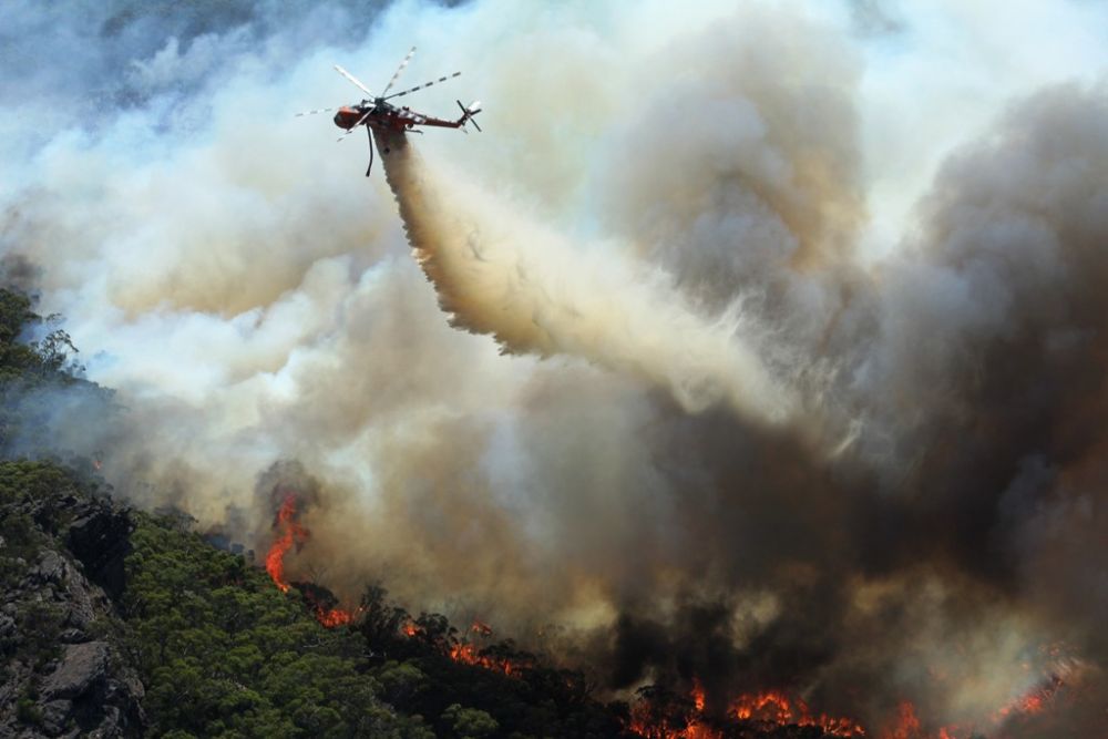
We support emergency managers by providing access to satellite derived information that provides a national picture of potential bushfire locations, and the extent of bushfire impact.
We provide data that helps evaluate local wind speeds over topography and different land cover types, which can be used to determine the speed of a fire front.
Our products, tools and data provide a better understanding of hazard vulnerabilities for all sectors to plan, prepare and reduce exposure to natural hazards improving preparedness now and into the future.
Learn more about our infrastructure collaborations geared towards improving the preparedness, response and recovery cycle of natural hazard events.
Emerging capabilities
We engage with different sectors to provide assessments and address new challenges as they emerge.
- Our Researchers are committed to growing our knowledge base to prepare for challenges of the future.
- We have a strong attendance at conferences and events to maintain awareness of the challenges faced by the community safety sector and keep up to date with latest science.
- Our open-source data is accessed by developers interested in solving operational challenges of reducing vulnerability and exposure to natural hazards.
- We continue to engage with different sectors to provide assessments and address new challenges as they emerge.
Top products
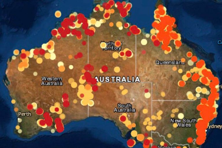
Detect areas producing high levels of infrared radiation, using our rolling archive of imagery and data.
Develop a statistical summary of the number of people, dwellings, buildings, infrastructure assets, agricultural and environmental assets potentially exposed during a threat or hazard event.
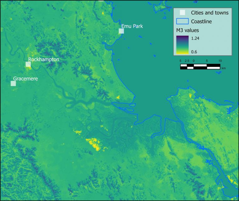
Evaluate local wind speeds over topography and different land cover types, which can be used for applications like determining the speed of a fire front.
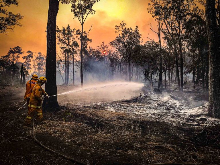
Case study Finding water to fight fire
Satellite data maps of Australian waterbodies are fuelling a more confident flightpath for Victoria’s Country Fire Authority.