Hazards Flood
Page last updated:18 June 2024
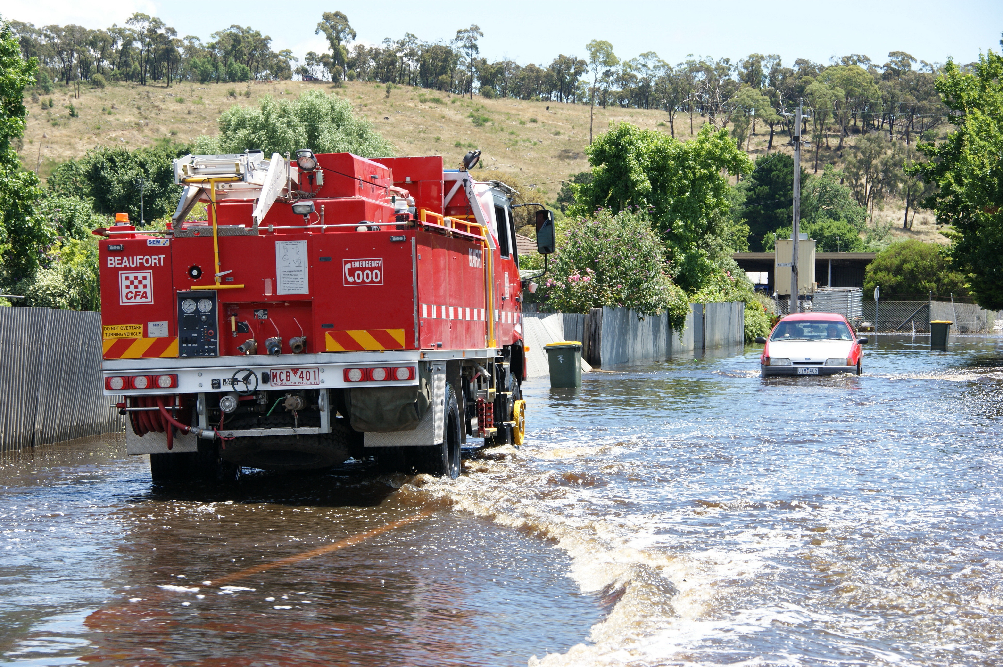
Geoscience Australia’s Community Safety team supports Australia’s ability to manage the impact of floods and helps inform decisions about risk.
We contribute to each stage of the emergency management cycle to help improve preparedness, response and recovery with our focus on contributing towards community safety.

Our role
We publish the national guideline document, data and software suite that can be used for the estimation of flood characteristics in Australia. This is pivotal to the safety and sustainability of Australian infrastructure, communities and the environment, and helps to ensure that development does not occur in high risk areas and that infrastructure is appropriately designed.
We provide flood risk information to government, industry and emergency managers to provide a better understanding of flood risk and preparedness requirements.
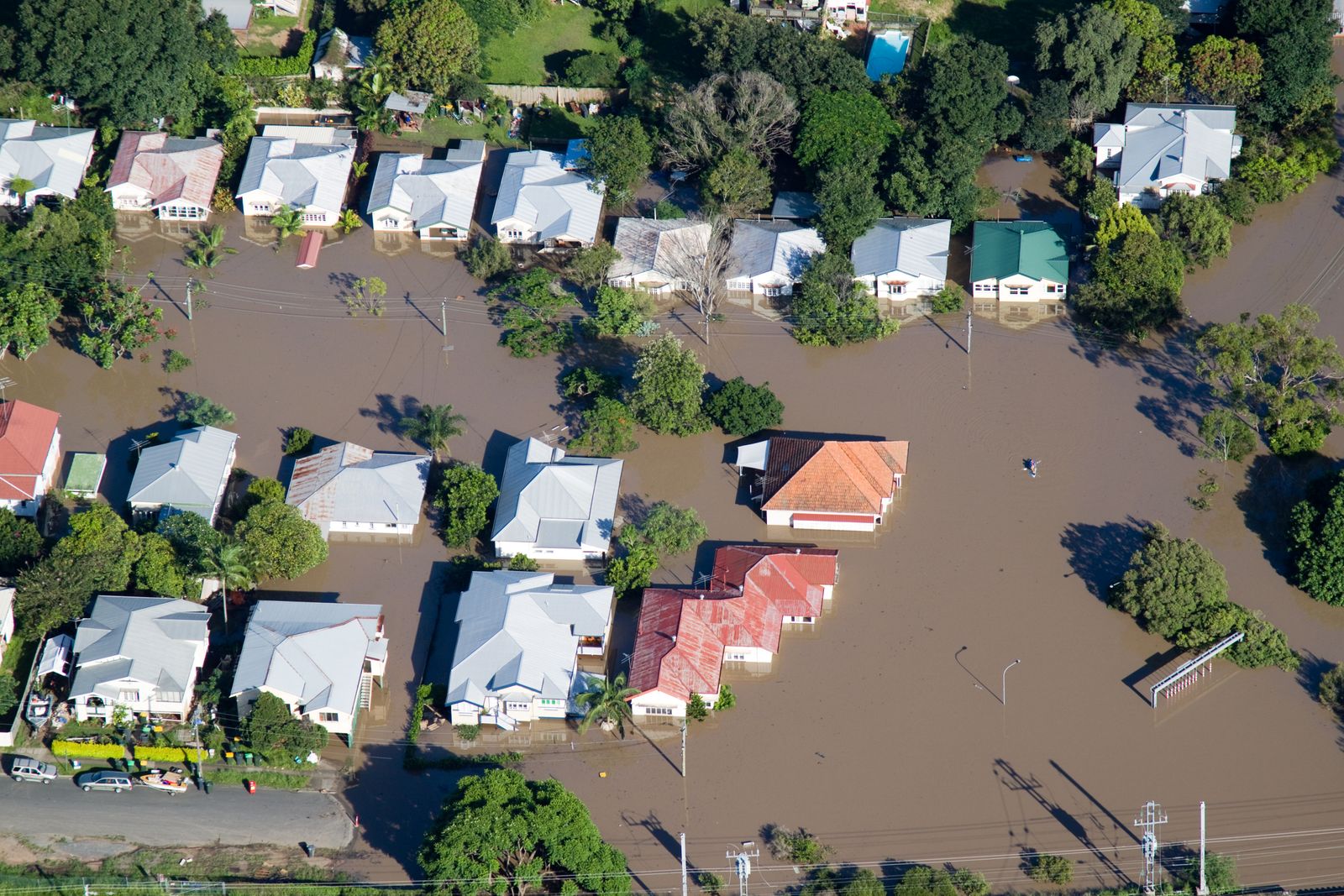
Our data sets allow better understanding of where water is usually present, where it is seldom observed and where inundations have occurred.
To help understand what could be at threat, we provide exposure information about buildings, demographics, community infrastructure and agricultural commodities.
We also provide around the clock access to data about people, property and infrastructure potentially exposed during an event. Our information aids in providing an understanding of the situation to targeted preparedness, response and recovery efforts.
Our products, tools and data provide a better understanding of hazard vulnerabilities for all sectors to plan, prepare and reduce exposure to natural hazards improving community safety now and into the future.
Emerging capabilities
We engage with different sectors to provide assessments and address new challenges as they emerge.
- We are exploring options to contribute to a national flood impact forecasting capability
- Our Researchers are committed to growing our knowledge base to prepare for challenges of the future.
- We have a strong attendance at conferences and events to maintain awareness of the challenges faced by the community safety sector and keep up to date with latest science.
- Our open-source data is accessed by developers interested in solving operational challenges of reducing vulnerability and exposure to natural hazards.
Top products
Australian Rainfall and Runoff (ARR)
Learn more about the ARR Guidelines, which provide the best available information on Australian design flood estimation techniques to assist with design flood problems, flood processes and engineering hydrology.
Australian Flood Risk Information Portal (AFRIP)
Learn more about the Australian Flood Risk Information Portal, which was created to be a central online location where high-quality flood risk information is stored.
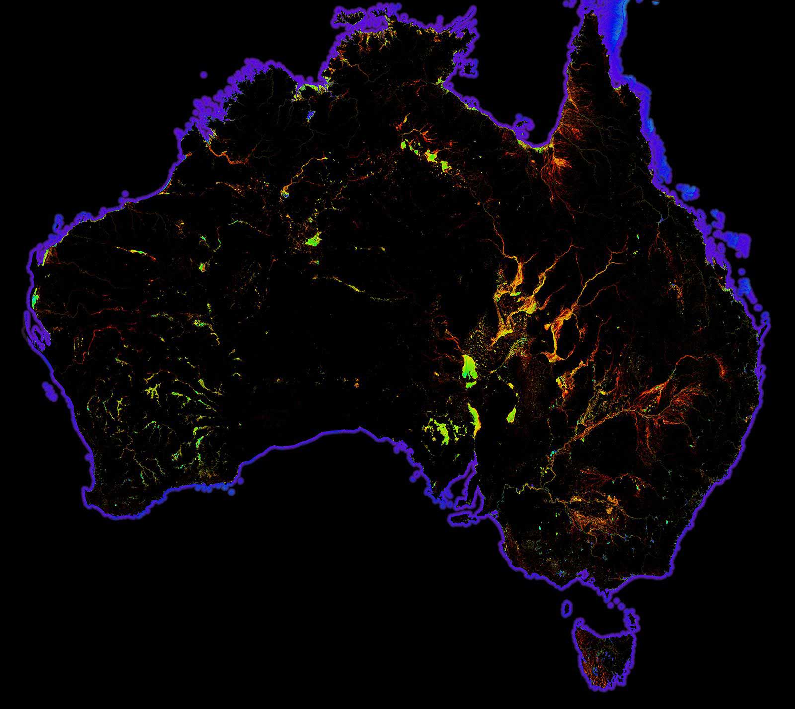
DEA Water Observations
Continent-scale map of surface water that classifies each pixel from Landsat satellite imagery as wet, dry or invalid.

National Exposure Information System
Use our nationally consistent exposure data to help understand what could be at threat from natural hazards.

Case study Developing accessible flood models to reduce flood vulnerability
Developing accessible flood models to reduce flood vulnerability
Transforming detailed flood impact models into scalable models for broader use in the community.

This research represents an important step in the development of curves that can be applied consistently across different flood catchments by individuals or organisations that may not have a complete picture of the building stock potentially exposed to flood waters.
Director, Vulnerability, Spatial Division, Geoscience Australia