Projects Discover our projects


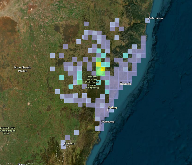
Earthquake monitoring in Muswellbrook NSW
On 23 August 2024, the communities of Muswellbrook and Denman in New South Wales experienced a moment magnitude M 4.7 earthquake, with its epicentre near the Mount Arthur Coal Mine in the Upper Hunter region.

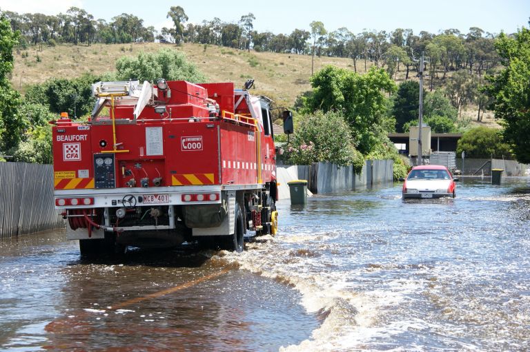
Australian Flood Risk Information Portal (AFRIP)
Learn more about the Australian Flood Risk Information Portal, which was created to be a central online location where high-quality flood risk information is stored.

Australian Rainfall and Runoff (ARR)
Learn more about the ARR Guidelines, which provide the best available information on Australian design flood estimation techniques to assist with design flood problems, flood processes and engineering hydrology.

National Earthquake Alerts Centre (NEAC)
NEAC is the only earthquake monitoring and alerting service in Australia that is operational 24 hours a day.

Probabilistic Tsunami Hazard Assessment (PTHA)
Model the frequency of tsunamis around the Australian coast.

Joint Australian Tsunami Warning Centre (JATWC)
The Joint Australian Tsunami Warning Centre (JATWC) provides 24 hour tsunami monitoring, assessment and warnings.

Probabilistic Tsunami Hazard Assessment (PTHA) Guidelines
Learn more about the PTHA Guidelines which are designed to support Pacific Island countries in using PTHA18 to produce tsunami inundation hazard information.

Tropical Cyclone Hazard Assessment (TCHA)
Define the severe wind hazard posed by tropical cyclones in Australia. Use it to calculate local cyclone impact models and develop evidence-based evacuation plans and mitigation strategies.

Wind multipliers
Learn more about our significant research on wind speed undertaken due to its importance in predicting, mitigating and managing major risks and hazards caused by wind.

National Seismic Hazard Assessment (NSHA)
The NSHA defines the level of earthquake ground shaking across Australia, allowing higher hazard areas to be identified and mitigation strategies to be developed.

Monitoring the Earth’s dynamic magnetic field
The geomagnetic field observed on the surface of the Earth is a combination of several magnetic fields originating from multiple sources, including deep within the planet, through the atmosphere and into space.

Understanding the potential impacts of an earthquake in the Hobart area
Modelling earthquake scenarios in Hobart to improve earthquake resilience across Tasmania.

Building climate and disaster resilience in the Pacific
Geoscience Australia is working with Pacific nations to help them better prepare for the impact of tropical cyclones, tsunamis and rising sea levels.

Pioneering infrastructure networks to support Australia’s hazard and positioning data capabilities
How Geoscience Australia’s remote monitoring programs to provide scientific data to Australian and international stakeholders.

Mapping and modelling the impact of earthquake-generated tsunamis on the coastal communities of Western Australia
How Geoscience Australia is creating evidence-based inundation maps to guide emergency management planning for earthquake-generated tsunamis.

Accurate measurement of absolute sea level rise in the Pacific region
How Geoscience Australia is monitoring sea level variation across 13 Pacific Island nations to better prepare for rising sea level impact.

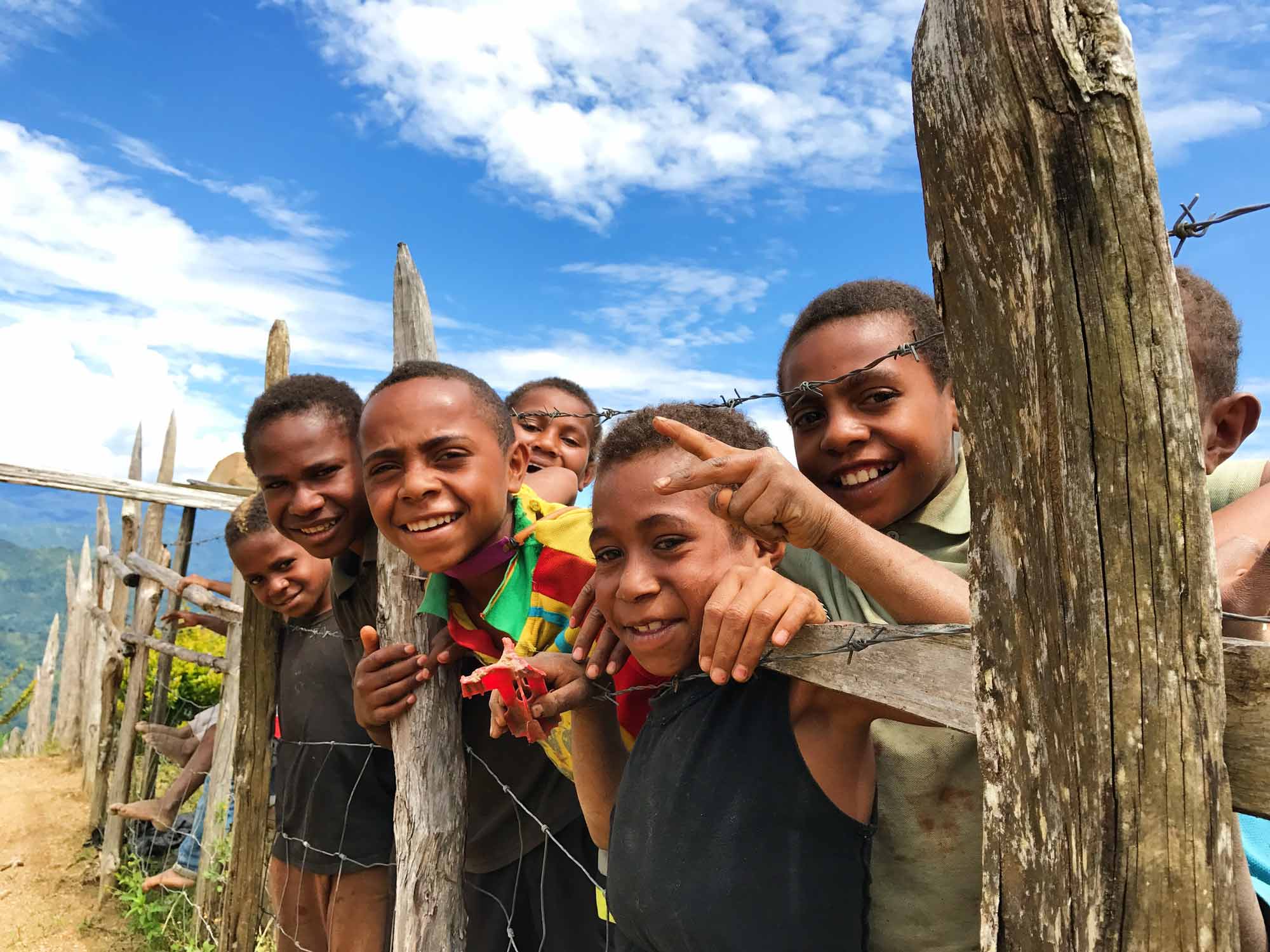
Reducing disaster risk in Papua New Guinea
How strengthening the capacity and capabilities of local communities is mitigating against impact from natural hazards.

Improving the earthquake hazard resilience of remote Western Australian communities
How Geoscience Australia is building a better understanding of the potential impacts of an earthquake event in the Yilgarn region.

Raising awareness of earthquake-risk in regional WA
How strengthening the capacity and capabilities of local communities is mitigating against impact from natural hazards.

Building a ground-motion database to better understand seismic hazards in Australia
How Geoscience Australia is analysing earthquakes to inform engineering design and contribute to seismic research internationally.

Monitoring natural and human-induced seismicity in the Beetaloo Sub-basin region of the Northern Territory
Monitoring natural and human-induced seismicity in the Beetaloo Sub-basin region of the Northern Territory.