Project Accurate measurement of absolute sea level rise in the Pacific region
How Geoscience Australia is monitoring sea level variation across 13 Pacific Island nations to better prepare for rising sea level impact.
Page last updated:18 June 2024

The problem
Collecting accurate sea level data in the Pacific
The Pacific is the world’s most disaster-prone region. Its low-lying countries are particularly vulnerable to flooding and the impacts of rising sea levels, and natural disasters devastate local communities heavily reliant on fishing and agriculture.
Having access to detailed sea level information helps communities across the Pacific to make evidence-based decisions, ultimately keeping them safe. Up-to-date data enables governments, climate scientists and emergency managers to predict future changes in land and sea levels, and prepare for potential climate hazards and natural disasters.
To understand if existing climate and sea level rise predictions in the Pacific region are accurate, sea level observation and monitoring must be continuous and ongoing. But this requires significant financial investment, and a strong commitment of scientific expertise and resources.
What we’re doing
Using high-precision geodetic techniques to analyse sea level and land motion changes
For more than 25 years, Geoscience Australia and the Bureau of Meteorology have been working with Pacific governments and regional organisations to provide accurate and up-to-date data on sea level rise in the Pacific.
Known as the Pacific Sea Level and Geodetic Monitoring (PSLGM) project, the scheme is funded by Australian Aid as part of the Climate and Oceans Support Program in the Pacific (COSPPac).
Under the PSLGM project, Geoscience Australia uses high-precision geodetic techniques to calculate the absolute and relative sea level changes for 13 Pacific Island countries, including the Cook Islands, Federated States of Micronesia, Fiji, Kiribati, Nauru, Niue, Papua New Guinea, Republic of Marshall Islands, Samoa, Solomon Islands, Tonga, Tuvalu and Vanuatu.
The project determines long-term variation in sea level by:
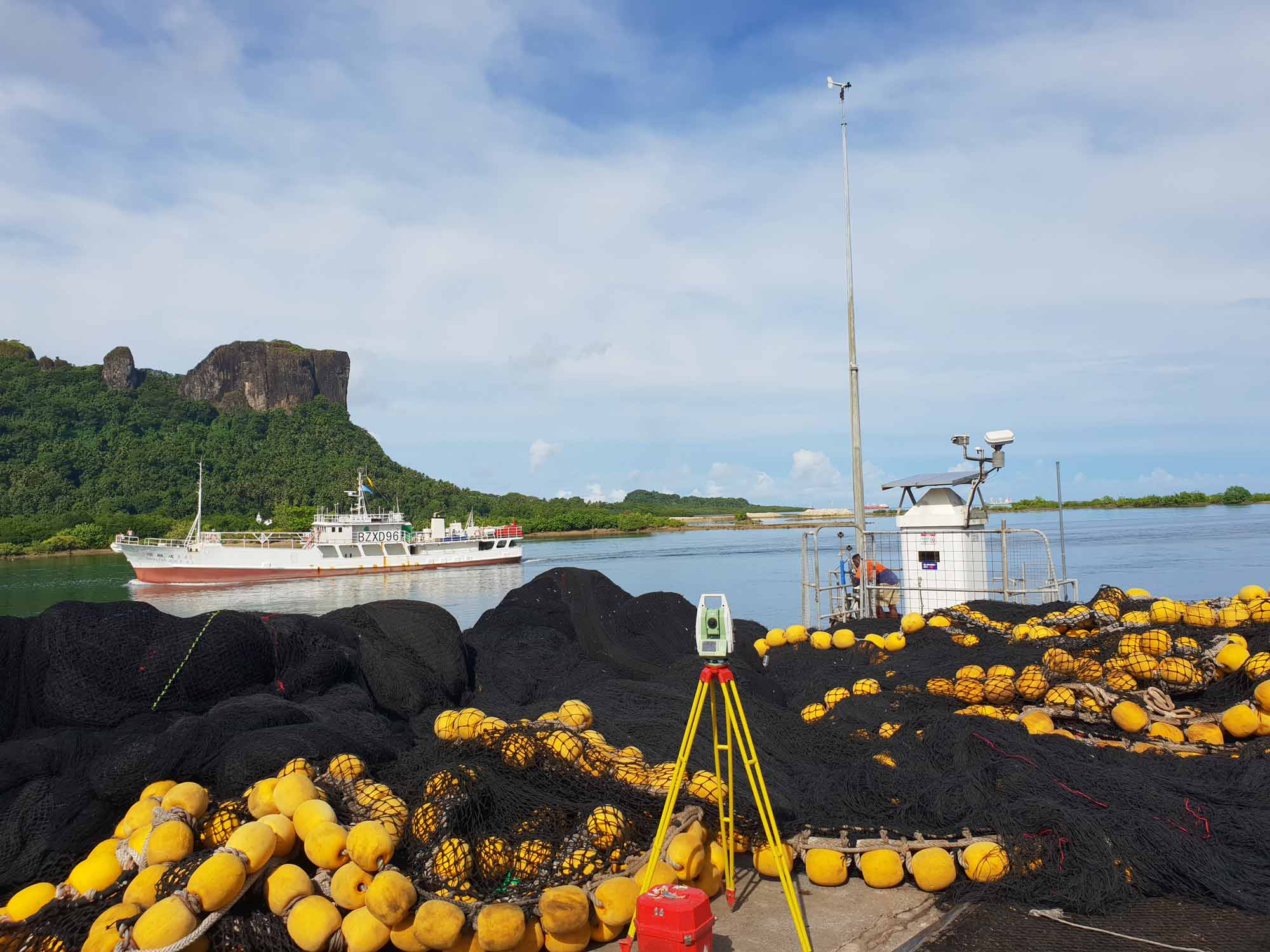
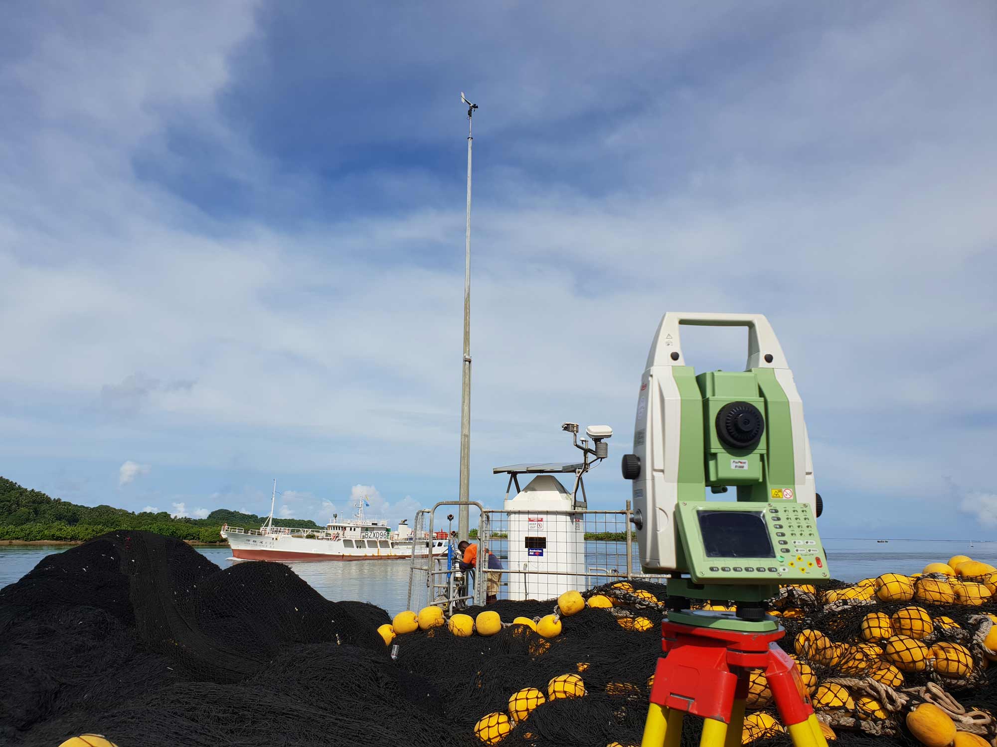
- monitoring Bureau of Meteorology tide gauges in each country, collecting sea level data and producing tide calendars
- analysing if land in each country is changing using land motion data collected at Geoscience Australia’s Global Navigation Satellite Systems (GNSS) stations
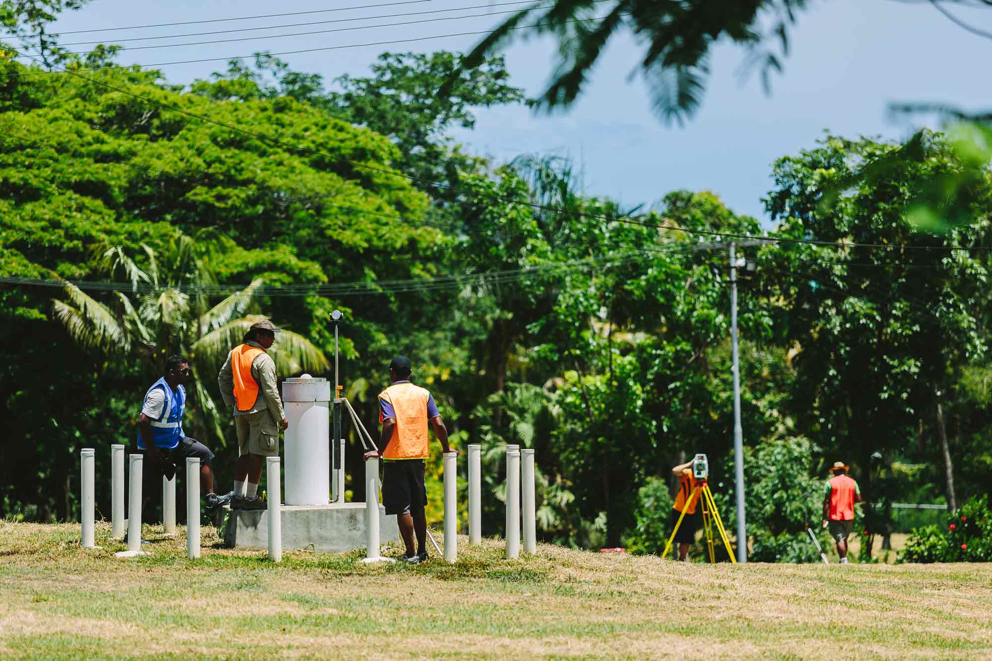
- partnering with the Pacific Community to undertake levelling observations in each country every 18 months to measure the height difference between the tide gauges and the GNSS stations
- analysing all data sources to form an absolute vertical rate of movement – the rate at which the land is moving up or down in relation to the centre of the earth.
Geoscience Australia works with state and local governments and the emergency management industry sector across Australia to develop local hazard assessments. For more information, contact hazards@ga.gov.au
Looking forward
Continuing to support the Pacific region
- The Pacific Sea Level and Geodetic Monitoring project is one of many programs Geoscience Australia operates in the region as part of the Australia–Pacific Climate Partnership (APCP).
- Since the APCP was established in 2016, our scientific data, information, tools and technology have been used by governments and disaster managers in the Pacific to inform climate adaption planning, coastal development, risk mitigation strategies, disaster management plans and evacuation strategies.
- As our work in the Pacific progresses, we’ll continue to champion an ‘all hazards’ approach, integrating climate and geohazards across all aid investments and sectors.
How we can help you
Contact us to gain a better understanding of sea level and land motion monitoring in your state, region or sector, so you can develop targeted and effective risk mitigation and risk reduction strategies.
Our sea level variation resources can help identify your region’s high-threat areas so you can make better-informed natural hazard decisions.
Email hazards@ga.gov.au


