Project Building climate and disaster resilience in the Pacific
Geoscience Australia is working with Pacific nations to help them better prepare for the impact of tropical cyclones, tsunamis and rising sea levels.
Page last updated:18 June 2024
The problem
Addressing the world’s most disaster-prone region
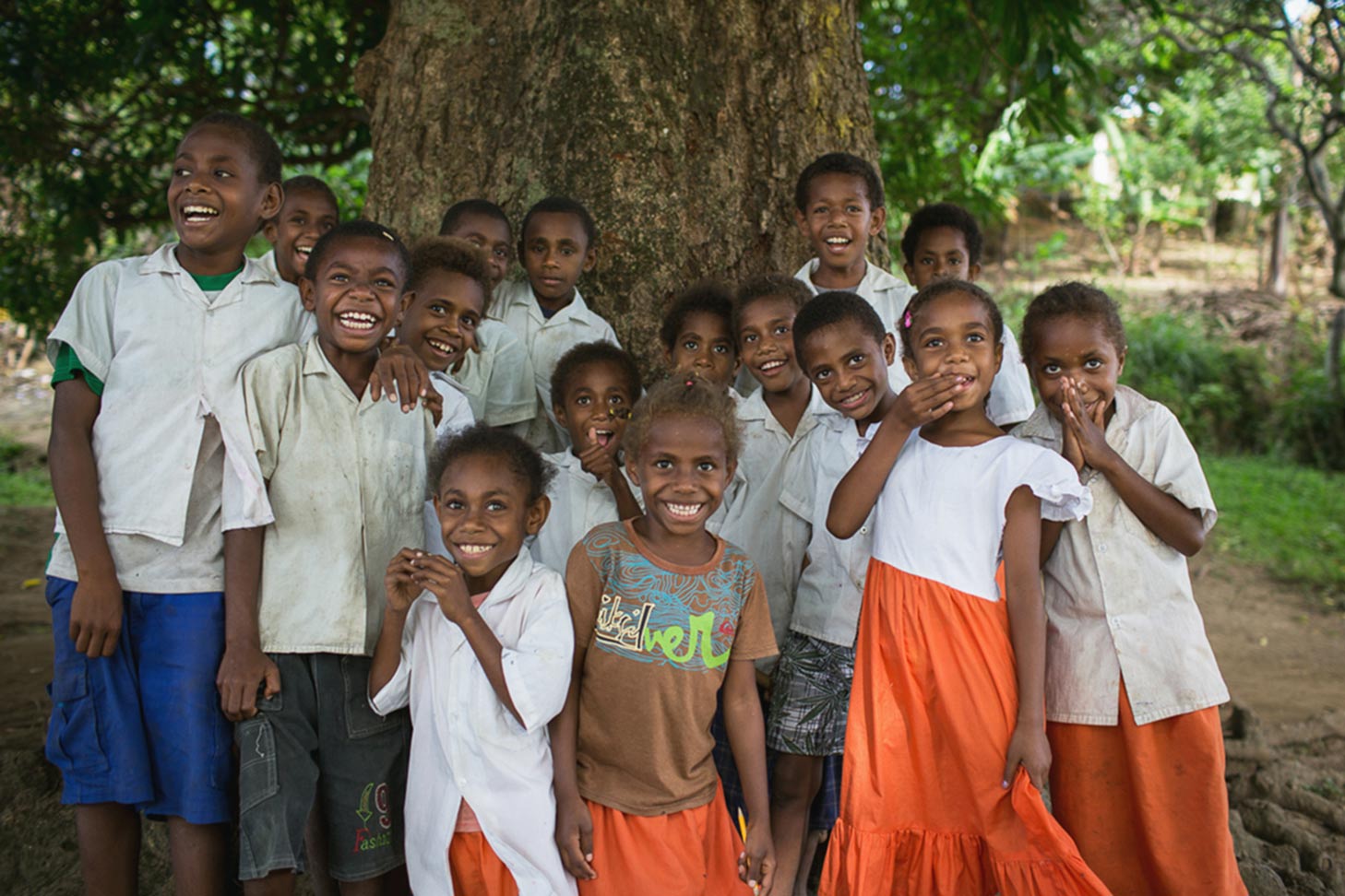
According to the United Nations, an average of 43,000 people in the Asia–Pacific region are killed each year by natural disasters (UNFPA), making it the most disaster-prone area of the world. Pacific island countries are particularly vulnerable to the impact of climate change issues, such as rising sea levels, and disasters like tsunamis, earthquakes, tropical cyclones and volcanoes.
The solution
Using scientific data to improve natural hazard knowledge
Preparing and strengthening Pacific nations’ capabilities for predicting and dealing with climate and natural disasters is crucial for the safety of many communities.
The Australia-Pacific Climate Partnership (APCP) is an Australian Aid initiative that supports Pacific governments with networks, partnerships, knowledge and aid, to build greater resilience to climate change and disasters, now and in the future.
Through the APCP program, Geoscience Australia provides evidence-based scientific information, tools, workshops and training, increasing the access Pacific governments have to reliable climate and natural hazard materials. This improves the Pacific’s ability to prepare for, monitor and mitigate against climate and natural disaster threats, helping to foster resilient and prepared communities.
How we got there
Improved tropical cyclone preparation
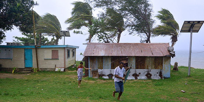
Tropical cyclones affect Pacific Island countries every year. Even when they don't reach land, cyclones can still be a catastrophic and destructive weather event. Not only do communities have to face severe winds, but cyclones can cause secondary events such a storm surges, flooding and landslides.
Geoscience Australia has developed Tropical Cyclone Hazard Assessments (TCHA) for Fiji, Tonga, Tuvalu and East Timor, helping the nations to understand the frequency and intensity of tropical cyclones making landfall in their region.
Using these assessments, high-risk areas are identified and prioritised for further analysis. Modelling scenarios have also helped these countries to develop risk-mitigation strategies which plan for and reduce the threat of these events at a local level.
In Tonga, we’ve developed an impact assessment to demonstrate how a cyclone could damage housing in the area, so decision makers can prioritise the building of more resilience housing.
Tsunami assessment and modelling
The Pacific Ocean is the largest and most tsunami-prone ocean in the world. With the ability to cause widespread damage, destruction and death, Pacific nations must be prepared for both distant and local tsunami threats.
Geoscience Australia has developed Probabilistic Tsunami Hazard Assessment (PTHA) guidelines for the Pacific region to better understand the frequency and likelihood of tsunamis occurring. This information increases the local emergency managers’ ability to plan, reducing the threat of tsunamis in their communities.
We’ve also partnered with the Pacific Community (SPC) to conduct inundation modelling (flood mapping) for Samoa. This provides an understanding of how tsunami waters would potentially impact the area, better informing evacuation plans and risk reduction strategies.
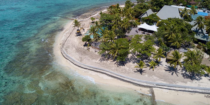
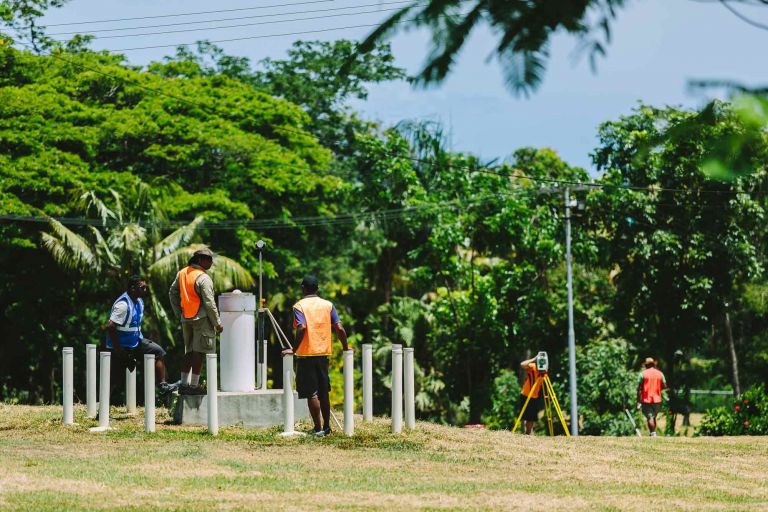
Accurate measurement of changes in sea level
The Pacific region has some of the world’s lowest-lying countries, which makes it particularly vulnerable to the impacts of rising sea levels. The consequences are devastating – particularly relation to the protection of freshwater lenses that are relied upon for drinking water and growing food, and the flooding of which would reduce land area available for housing.
Through the Pacific Sea Level and Geodetic Monitoring project (PSLGM), Geoscience Australia uses high-precision geodetic techniques to help calculate the absolute and relative sea level changes for 13 countries in the Pacific.
Those involved in disaster mitigation, climate adaptation planning and coastal development use this precise sea level information to make evidenced-based decisions. Geoscience Australia’s accurate up-to-date data helps them predict future changes in land and sea level in the region so they can successfully prepare for and adapt to a range of potential scenarios.
In the future
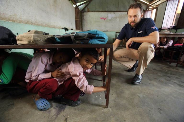
Continuing to build capacity in local communities
Since the APCP was established in 2016, Geoscience Australia’s scientific data and information and tools and technology has been used by governments and disaster managers in the Pacific to inform risk mitigation strategies, and evacuation and disaster management plans. As we continue our work in the Pacific we hope to assist them in achieving an all hazards approach, integrating climate and geohazards across all aid investments and sectors.
How you can get involved
Collaborate with Geoscience Australia to build your natural hazard understanding
Geoscience Australia regularly collaborates with overseas governments and communities to improve knowledge of tsunami, earthquake and volcano risk.
Our natural hazard resources, including our TCHA, PTHA and PSLGM tools and projects, can help identify your country or region’s high-threat areas so you can make better-informed natural hazard decisions.
We can also work closely with your organisation or community to help you gain a better understanding of the natural hazard risk in your region or sector, so you can develop targeted and effective risk mitigation and risk reduction strategies.
To learn more about Geoscience Australia's work in the Pacific region and contribution to APCP, contact hazards@ga.gov.au.
Related information
With the latest science and technology, and a growing catalogue of freely available open-source data, we provide the community safety sectors with information they need to minimise everybody's vulnerability to natural hazards.
How Geoscience Australia is monitoring sea level variation across 13 Pacific Island nations to better prepare for rising sea level impact.
How strengthening the capacity and capabilities of local communities is mitigating against impact from natural hazards.