Data product Australian Rainfall and Runoff (ARR)
Access nation-wide data and flood modelling information.
Page last updated:18 June 2024
A comprehensive guide to flood estimation
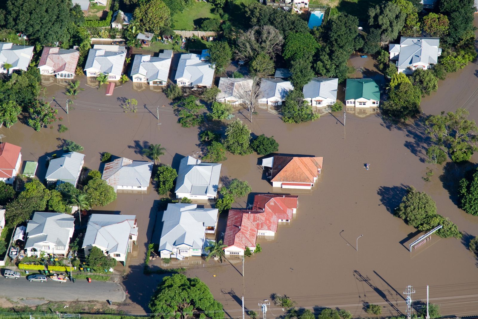
The ARR Guidelines provide the best available information on Australian design flood estimation techniques to assist with design flood problems, flood processes and engineering hydrology. ARR data has national applicability and balances the varied climates across Australia, making it an essential resource for community flood management planning and decision-making.
Who is the ARR for?
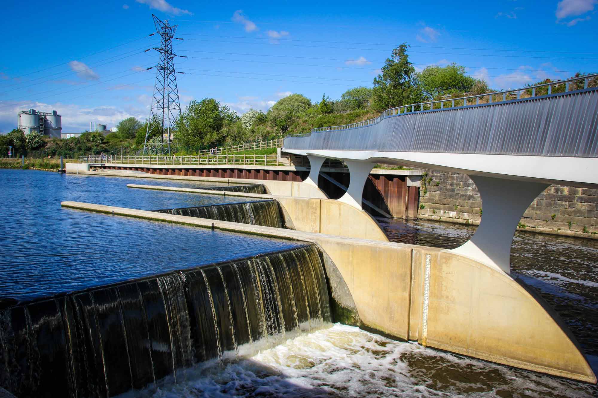
Flood engineers use the ARR to design and plan for flood risk and potential flood issues when working on large-scale infrastructure projects, such as roads, rail, airports, bridges, dams, stormwater drainage systems and sewers.
Emergency management services use the guidelines, in conjunction with a flood study to help them develop flood warning systems and inform flood emergency management plans for both urban and rural communities.
Local Government Authorities across Australia rely on ARR data and information in the development of flood mitigation levees and other structures, and in the setting of flood planning levels and the management of floodplains.
How the ARR works
- The ARR is produced by the National Committee on Water Engineers (NCWE) – a specialist committee of Engineers Australia in partnership with Geoscience Australia.
- It’s developed by practitioners and researchers and includes the best available methods and design data for Australia.
- It has established national data standards, providing a consistent approach to collecting, analysing and managing flood information.
- It has standardised flood study terminology for concepts, measurements, methodologies and products.
- It provides guidance to designers on procedures and design values to be used in design flood estimation.
- It provides design information about individual regions, helping with local emergency planning and flood estimation.
- It reflects current climate change best practice.
- It allows water resources professionals to estimate rainfall, peak flow, flood hydrograph and flooding for project planning, design and operation purposes.
Good to know
The ARR guidelines were last updated in 2019 after extensive consultation and feedback from practitioners. Previous versions of the ARR were developed when computer technology was emerging, and calculations were often done by hand. ARR 2019 introduces changes to current practice, taking advantage of significant advancements in digital technology, new tools and techniques for catchment simulation, and an increased understanding of rainfall-runoff processes.
Looking forward
Geoscience Australia will participate in further updating the ARR guidelines, as we recognise that knowledge and information availability is not fixed, and future research and methods will develop new techniques and information. As flood is Australia’s most costly natural disaster, providing a national guideline for design flood estimation is vital for our nation’s development and progress.
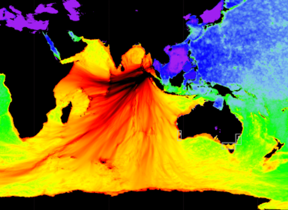
Project Mapping and modelling the impact of earthquake-generated tsunamis on the coastal communities of Western Australia
How Geoscience Australia is creating evidence-based inundation maps to guide emergency management planning for earthquake-generated tsunamis.
