Data product Probabilistic Tsunami Hazard Assessment (PTHA)
Identify regional and national areas at high-risk of earthquake-tsunamis.
Page last updated:18 June 2024
Defining Australia’s tsunami threat
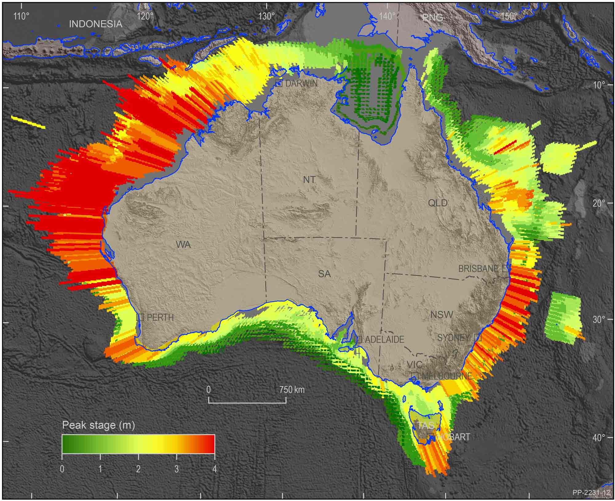
The PTHA provides a nationally consistent analysis of the size and frequency of earthquake-tsunamis offshore from Australia.
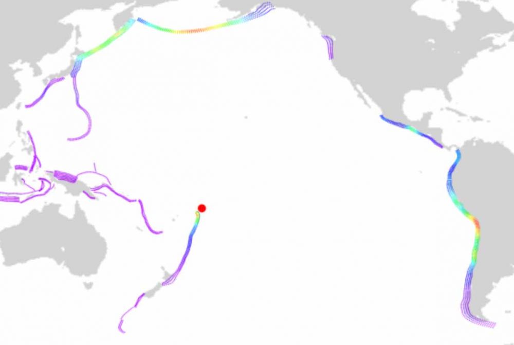
It models the frequency of tsunamis caused by subduction earthquakes in the Indian and Pacific Oceans, and provides modelled tsunami data that can be used for detailed analysis around the Australian coast and across its offshore islands and territories.
Read the user guide
This guide explains how to access basic tsunami hazard information in easy-to-use csv and shapefile formats. It also contains a link to the detailed guide.
Get the code
The numerical codes for probabilistic tsunami hazard assessments are available for download in Github, licensed under a BSD 3-clause license.
Who is the PTHA for?
The PTHA provides freely accessible evidence-based information to guide the design of earthquake-tsunami scenarios for onshore hazard assessments. Such onshore hazard assessments are used by emergency managers, governments, town planners, industry and infrastructure owners to help them plan for, mitigate against and respond to the threat of tsunami on the Australian coast.
How the PTHA works
- It consists of national-scale annual exceedance maps originating from over 1 million plausible earthquake scenarios.
- It provides outputs across thousands of sites around Australia, allowing other modellers to use these results in local-scale hazard studies.
- For each offshore location, it includes the following data:
- Hazard curves (stage vs exceedance probability)
- Hazard deaggregation for scenarios and exceedance rates
- Time series for each possible scenario at that site
- Initial ocean uplift/subsidence for each scenario
- It’s a key data source used in the development of tsunami inundation hazard assessments, when combined with high-resolution bathymetry and elevation data.
- It includes advances in our understanding of the frequency of large earthquakes and resulting tsunamis, and the uncertainties in these frequencies.
- It includes comprehensive treatment of the natural variability of earthquake size and slip, which has an impact on the heights and hazard of predicted tsunami waves.
- It includes data on wave heights estimated for a given frequency, and frequency for a given wave height. It also provides information on the uncertainties in these frequencies.
- Its methodologies are verified using 10 years of deep ocean tsunami observational data from the Pacific Ocean, ensuring they give a realistic depiction of tsunami behaviour.
Why do you model offshore waves, but not inundation?
For tsunami risk-management purposes we are normally interested in the tsunami behaviour onshore, especially the inundation depth.
Why then does PTHA18 only provide an analysis of offshore tsunamis?
In theory we could use PTHA18 to derive an onshore earthquake-tsunami hazard assessment, by simulating all the offshore scenarios through to inundation, or even a well-chosen subset of the more important scenarios. But in practice, this is currently infeasible at national scales.
Tsunami inundation modelling is computationally expensive and demands high-accuracy elevation data near the coast. At national scales these issues make it impractical to simulate tsunami inundation for many thousands of scenarios, even with current generation supercomputing.
A practical alternative is to focus on the inundation hazard at a particular site of interest. One may develop a “local” tsunami inundation model that only has high-resolution at that site. Such a “local” model can be used to simulate the onshore impacts of PTHA18 earthquake-tsunami scenarios. From this one may generate onshore hazard information at the site of interest. While often still computationally expensive this approach is usually feasible, because the inundation computations are restricted to a small area.
The purpose of PTHA18 is to provide a nationally consistent and well-tested source of earthquake-tsunami scenarios and return periods, that can be used to support site-specific inundation hazard studies anywhere in Australia.
Good to know
The PTHA provides a nationally consistent basis for understanding tsunami inundation hazards on the Australian coast. It doesn’t define the onshore tsunami impact or the effects of tsunamis on communities. It also doesn’t include non-earthquake sources that can cause a tsunami, such as landslides, volcanic activity or meteorological events. The scientific community is undertaking further research to establish a nationally consistent treatment for these tsunami sources.
Looking forward
Geoscience Australia plans to update the PTHA in the future. As the field of science and technology is constantly improving and evolving, it’s important we recognise the significance of evidence-based science and best practice in the work we do. We must make sure the PTHA reflects these advancements so we can keep Australian communities are as safe as possible from tsunami events.

Case study Probabilistic Tsunami Hazard Assessment (PTHA) Guidelines
The PTHA Guidelines are designed to support Pacific Island countries in using PTHA18 to produce tsunami inundation hazard information.


