Project Reducing disaster risk in Papua New Guinea
How strengthening the capacity and capabilities of local communities is mitigating against impact from natural hazards.
Page last updated:18 June 2024
The problem
Papua New Guinea’s complex hazard profile
The island nation of Papua New Guinea (PNG) is one of the most hazard prone countries in the world and is regularly exposed to both geohazards (earthquakes, tsunami, volcano and landslides) and meteorological hazards (flood, drought, tropical cyclones and heatwaves).
Located in one of the world’s most complicated tectonic settings, the country experiences small earthquakes every day, and large earthquakes frequently, with a severely damaging earthquake occurring every few years.
Historically, houses, buildings and infrastructure in PNG have not been built to withstand these natural hazard events. For example, thousands of lives were lost and over 10,000 people were displaced from their homes in the 1998 Aitape tsunami event.
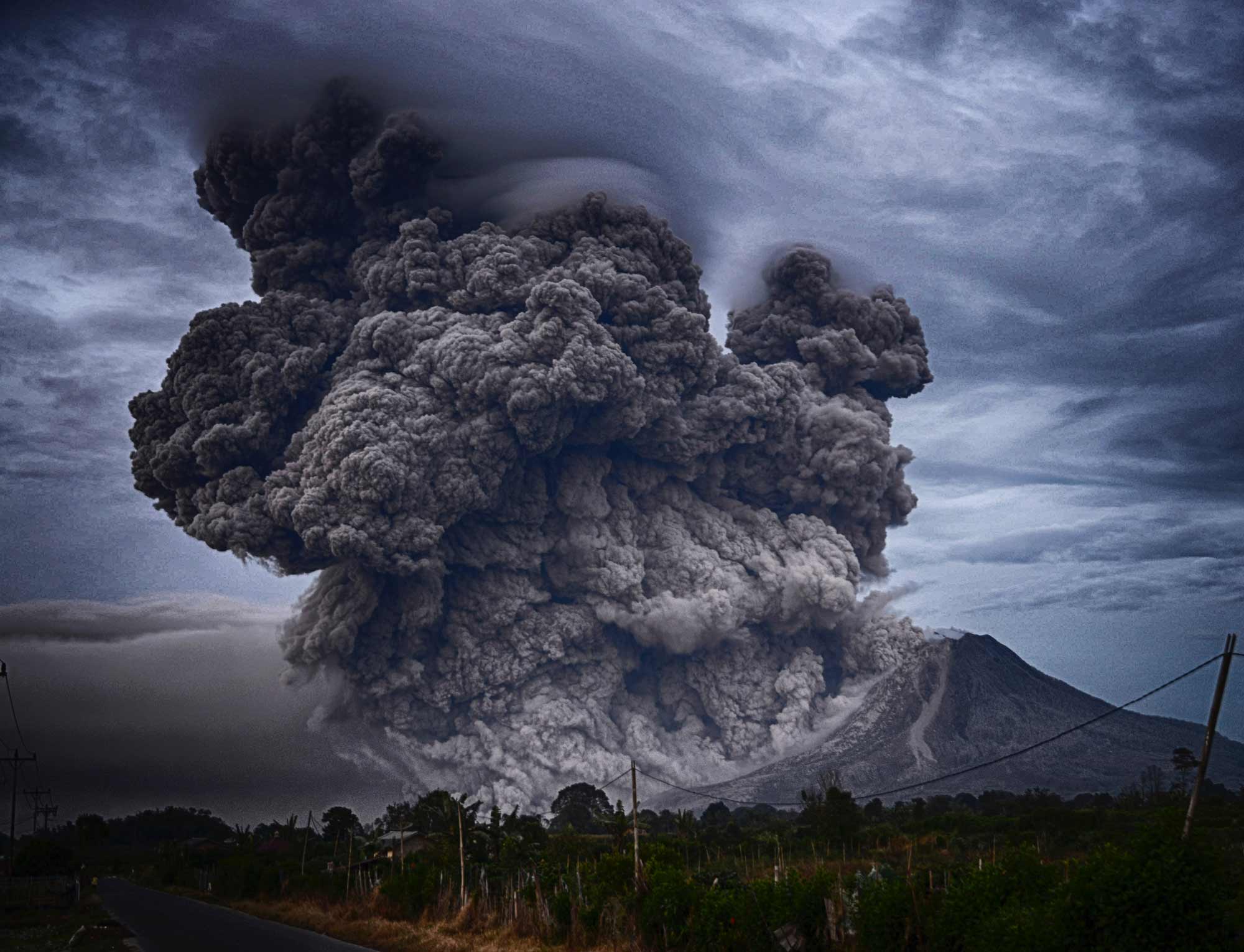
PNG also has the most active volcanoes in the Southwest Pacific. Its original capital, Rabaul, was destroyed in 1994 following a volcanic eruption that caused 80 per cent of its buildings to collapse from the subsequent ash rain. This event triggered a request for increased support from Geoscience Australia in providing advice on hazard monitoring and management.
The solution
Improving community safety in Papua New Guinea
As part of the Australian Aid Program’s Technical Disaster Risk Reduction program, Geoscience Australia is establishing a community-based network across Papua New Guinea. This will strengthen the PNG Government’s capability to monitor natural hazards, undertake hazard modelling, assessment and analysis, and send earthquake, tsunami, volcano and landslide alerts.
Geoscience Australia’s programs provide resources that help local stakeholders undertake their jobs more effectively, including equipment, software, hardware, bespoke code, standard operating procedures, and science communication materials.
Local emergency managers will now have access to credible and reliable scientific evidence to inform their decisions, leading to increased community resilience against natural hazards across PNG.
Geoscience Australia works with state and local governments and the emergency management industry sector across Australia to develop local hazard assessments. For more information, contact hazards@ga.gov.au
Empowering PNG communities to make evidence-based hazard decisions
Partnering with the Australian and Papua New Guinea governments, Geoscience Australia is:
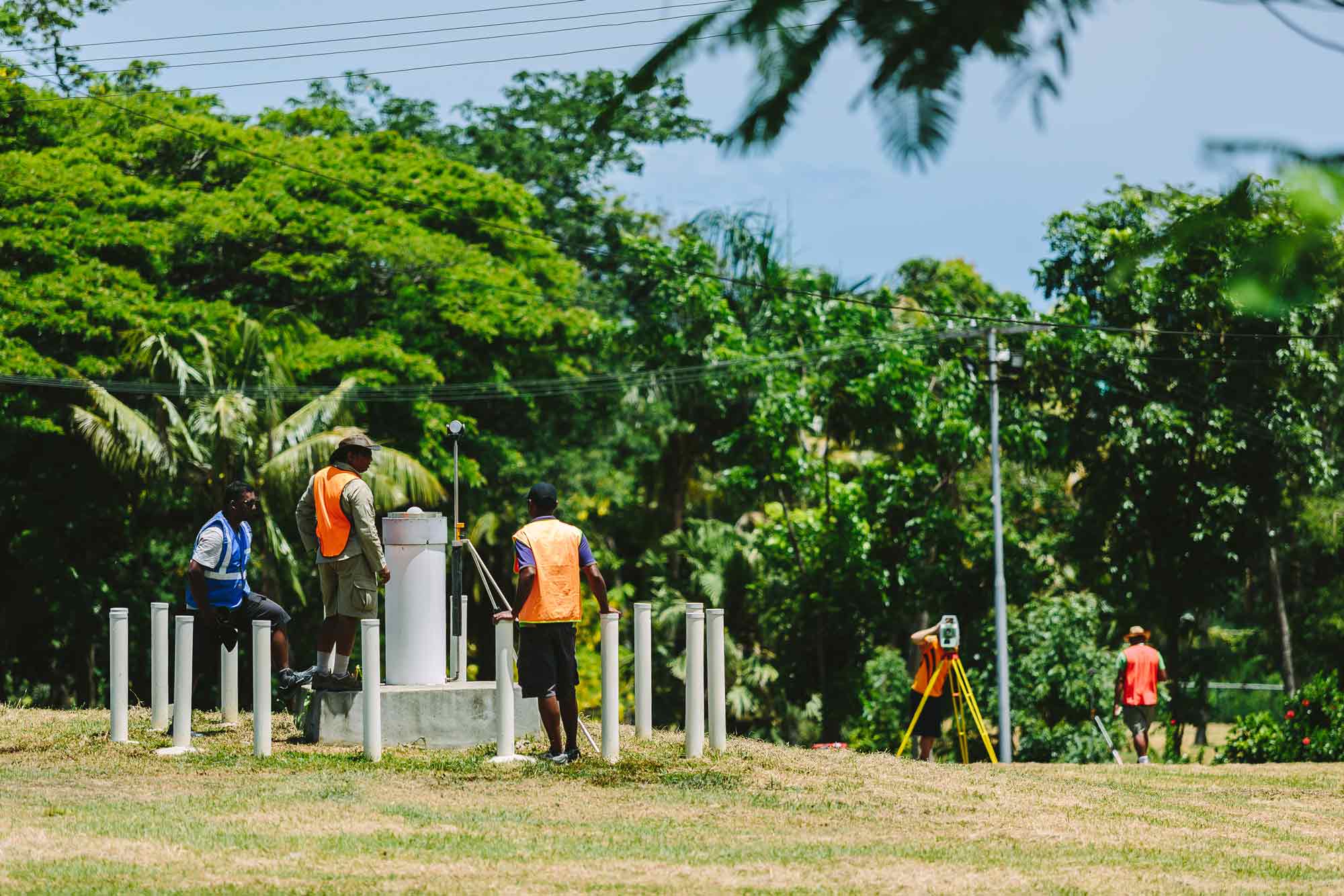
- establishing a community-based seismic network by installing professional-grade, low-cost Raspberry Shake sensors at dependable community locations. Sites that have reliable electricity, internet and security are being sought, such as schools and universities. These locations will be used to educate children and community members about seismology, raise awareness of natural hazards, and strengthen community awareness of how to keep safe if an event does occur.
- updating PNG’s earthquake monitoring system by integrating the ShakeMap tool. This will allow emergency managers to receive an automated system-generated alert, near-real-time maps of ground shaking intensity, and a report of the earthquake event and its predicted impact on local communities, housing and infrastructure. The accuracy of this data will help local emergency managers and governments provide appropriate emergency response in the event of an earthquake.
- monitoring seismic activity on Ulawun (one of PNG’s most dangerous active volcanoes) using Raspberry Shake devices and web cams, with the view to implementing the technology at other active volcanoes in PNG. The detection of seismic activity from the volcano can identify whether an eruption is potentially imminent and help local authorities to issue warnings and evacuate at-risk communities.
- developing a PNG Tsunami Guide to help government officials, emergency managers, members of NGOs and non-technical professionals better understand hazard assessments. This allows them to produce evidence-based risk mitigation strategies, reducing the threat of tsunami events in their communities.
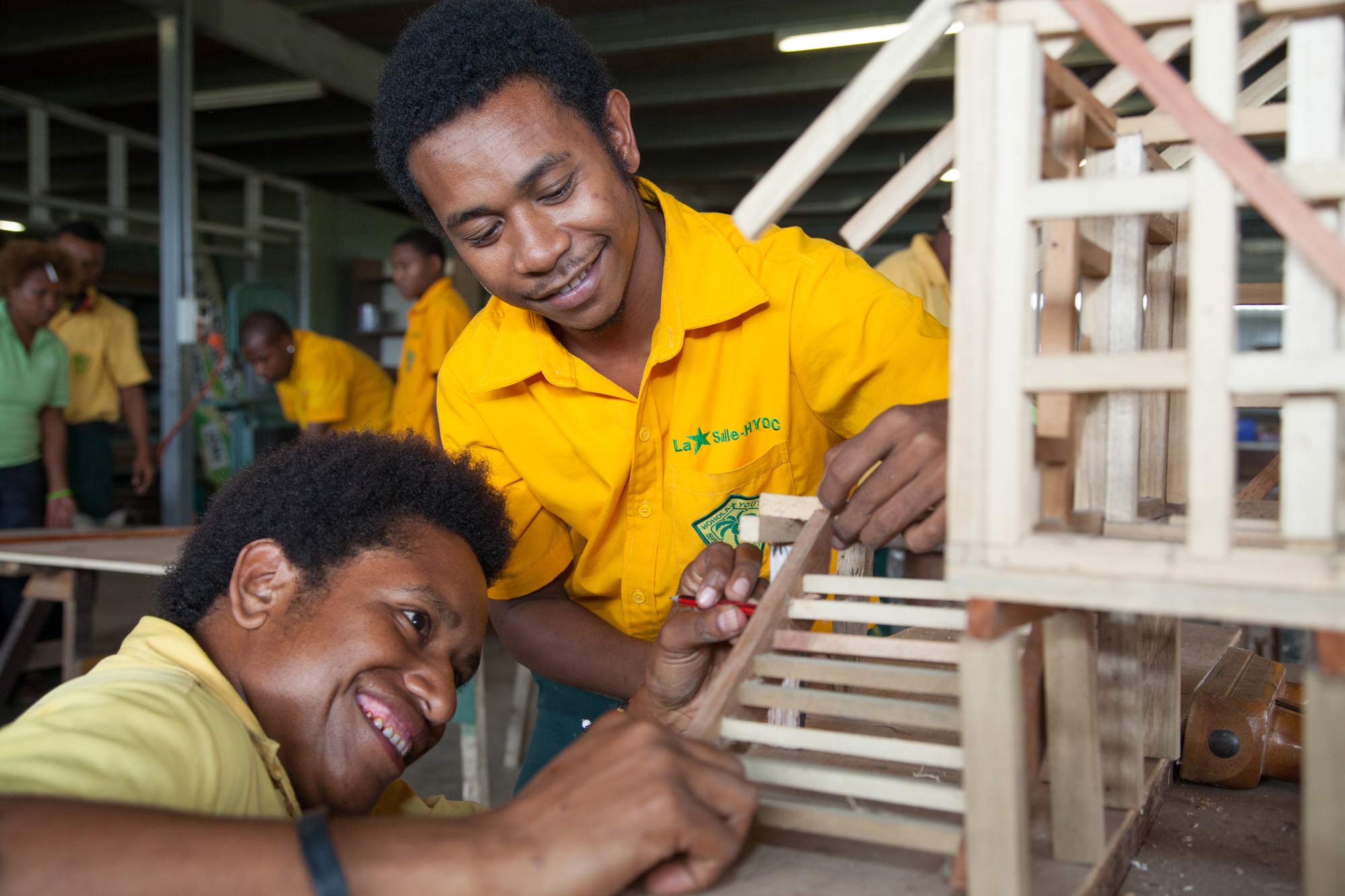
- undertaking a National Seismic Hazard Assessment (NSHA) for PNG and use this information to develop ‘interim guidance’ for the PNG Earthquake Building Standard codes, in collaboration with local builders, architects and construction companies. The guidance updates the seismic loading design standard, ensuring that future buildings in PNG are constructed to withstand earthquake events, helping to keep families, schools and communities safe when they do occur. Builders will also be able to use the updated guidance to assess existing structures and recommend retrofit measures to strengthen a building’s design.
- developing a new PNG Geohazards website, in partnership the PNG Government’s Department of Mineral Policy and Geohazards Management. This website will allow communities and governments to access early warnings and evacuation alerts from a central location when there’s an earthquake, volcano or tsunami threat. It will act as the single authoritative source of hazard information, data, assessments, evacuation plans and hazard education materials for PNG. These resources are vital in helping officials make evidence-based decisions about the threat of hazards at a local, regional and national level.
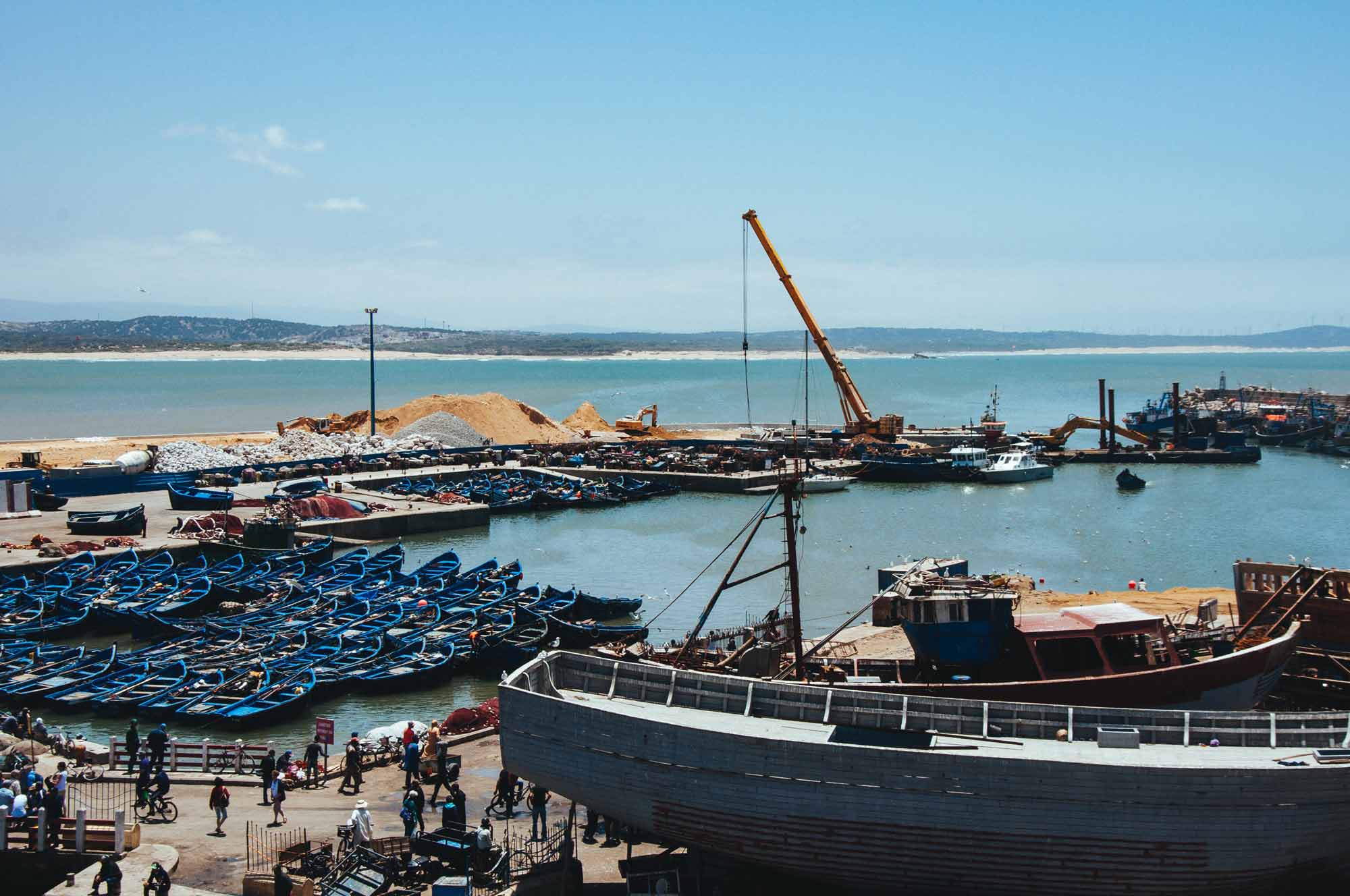
- undertaking a Probabilistic Tsunami Hazard Assessment (PTHA) on Vanimo in PNG’s north coast so that hazard modelling can be used by engineers to inform the design of its future port.
Looking forward
Adding value to the Papua New Guinea community
As a result of an extension to the Technical Disaster Risk Reduction program, Geoscience Australia will
- continue to build local knowledge and strengthen the capacity of local communities in Papua New Guinea until June 2023, to better prepare for natural hazards and help mitigate against their risks.
- expand the community-based seismic monitoring network in PNG and continue to foster our strong working relationships with the Port Moresby Geophysical Observatory and Rabaul Volcano Observatory.
- continue to work with PNG stakeholders to discuss volcano unrest with communities, warn of potential tsunami linked to volcanic eruptions, set up rapid-response seismic sensors which monitor volcanoes and earthquake aftershocks, and upgrade critical monitoring equipment.
- undertake capability building training for tsunami hazard assessments with Port Moresby Geophysical Observatory employees in continuation of the Tsunami Guide project.
- help the PNG Government’s Department of Mineral Policy and Geohazards Management to expand the Geohazards website. New features will include webcam footage of volcanoes, displaying seismic monitoring outputs and presenting near-real-time impact assessments for earthquake events.
- support a new program aimed at streamlining the incorporation of building code advancements into PNG legislation. The scheme could be applied across the whole Pacific region, presenting an opportunity for PNG to be a leader in this space.
- Initiate a project in the port of Lae to determine the area’s current earthquake risk to inform retrofitting programs that help make the region’s buildings seismically resilient.
How we can help you
Collaborate with us
Contact us to gain a better understanding of the hazard risk to infrastructure assets in your country, state, region or sector, so you can develop targeted and effective risk mitigation and risk reduction strategies.
Our earthquake, tsunami and volcano resources can help identify your region’s high-threat areas so you can make better-informed natural hazard decisions.
Email hazards@ga.gov.au

