Derived data product DEA GeoMAD
Page last updated:28 April 2025
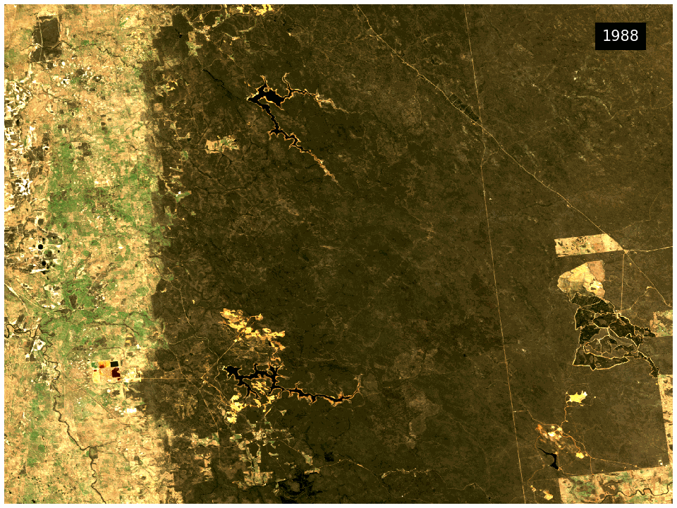
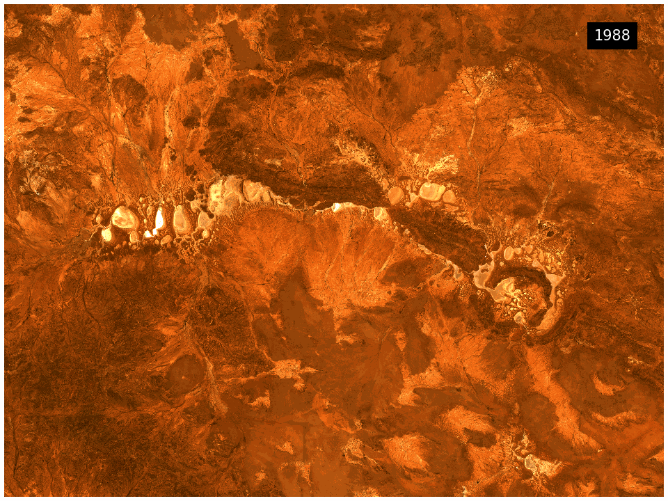
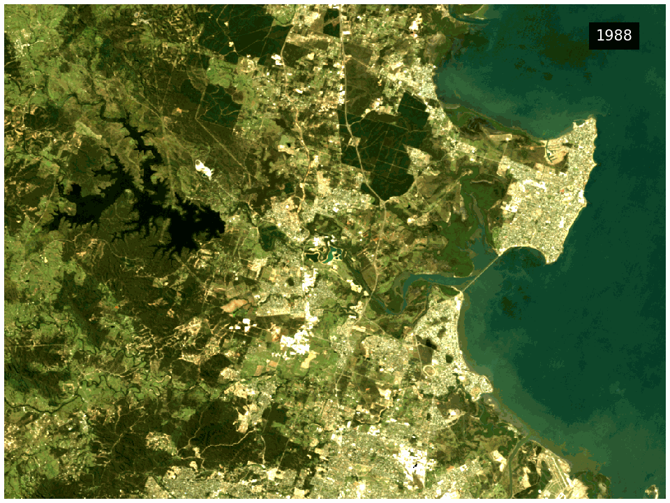
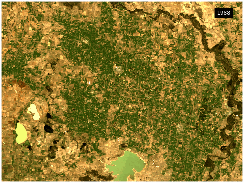
Take a look back at each year
Digital Earth Australia Geometric Median and Median Absolute Deviation (DEA GeoMAD) provides an annual ‘average’ of data collected for each 30x30 metre pixel, covering more than 30 years of satellite data into composite images of high quality with low noise.
DEA GeoMAD can be used to understand natural and artificial land surface processes at local or continental scales, providing valuable insights to scientists, policy makers, land managers and communities.
The product includes higher order statistical measurements that can be used to understand the impacts of drivers of change, such as extreme weather events or intense land use.
DEA GeoMAD interactive map
Visit DEA Maps to get the full interactive map with DEA GeoMAD and other DEA products.
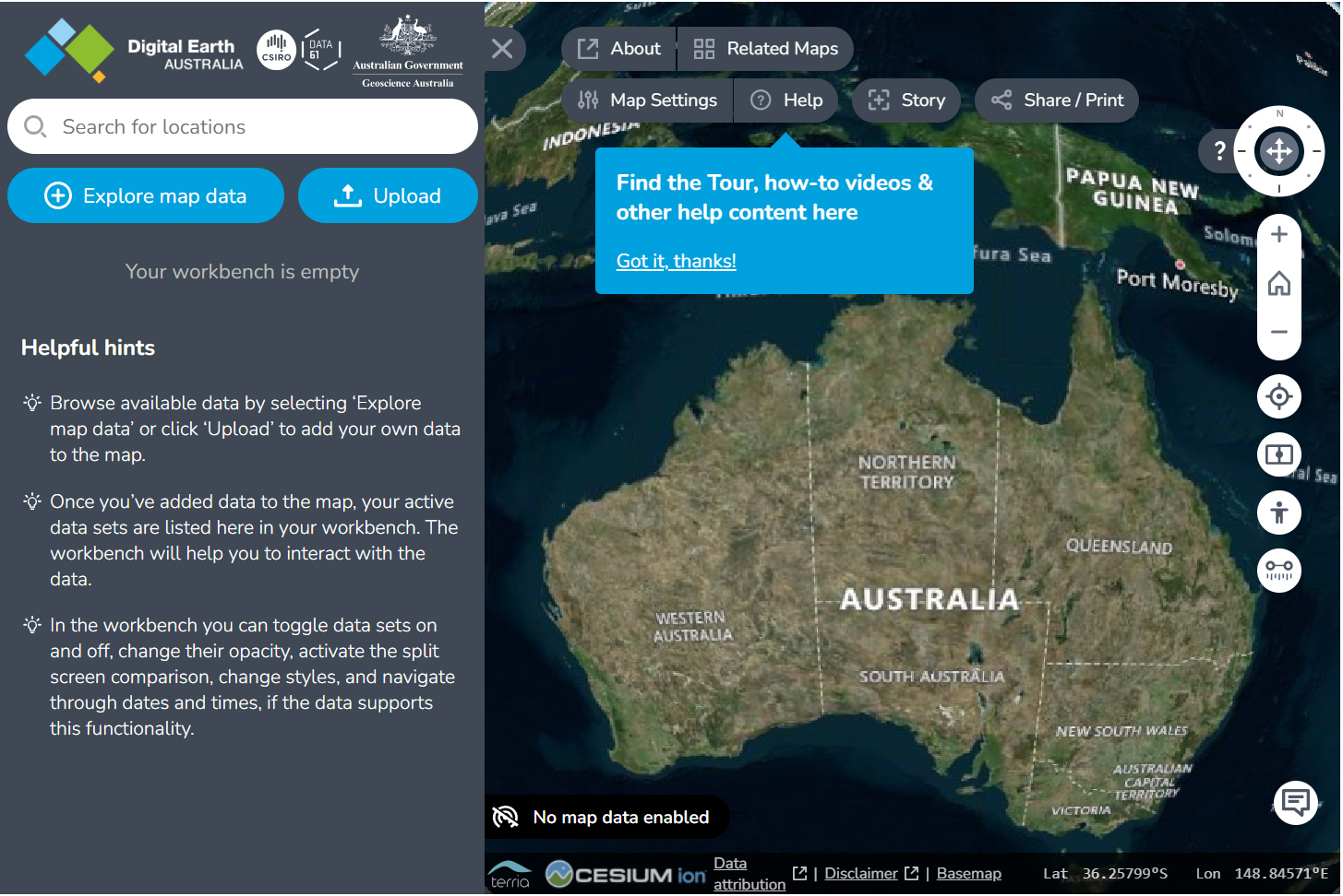
Screenshot of the Digital Earth Australia Maps application developed by Data61 CSIRO for Geoscience Australia
Why create a statistical average with DEA GeoMAD?
- Combines measurements to produce one representative satellite image of the Australian continent for each calendar year.
- Can be used from local to continental scales for visual inspection of the landscape, or for the development of more advanced algorithms or machine learning methods.
- Useful for monitoring soil and coastal erosion, crop growth, water quality, changes to cities and regions, and more.
Related resources
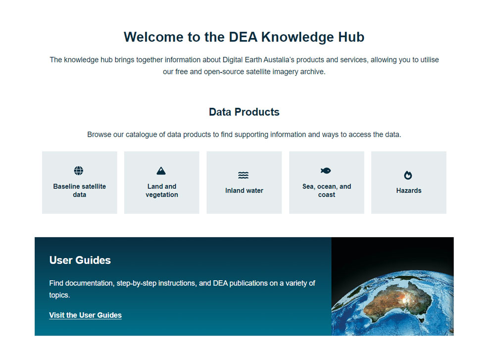
DEA Knowledge Hub
The knowledge hub brings together information about DEA’s products and services, allowing you to utilise our free and open-source satellite imagery archive.
Journal Article
High-Dimensional Pixel Composites From Earth Observation Time Series.