Derived data product DEA High and Low Tide Imagery
Page last updated:1 November 2017
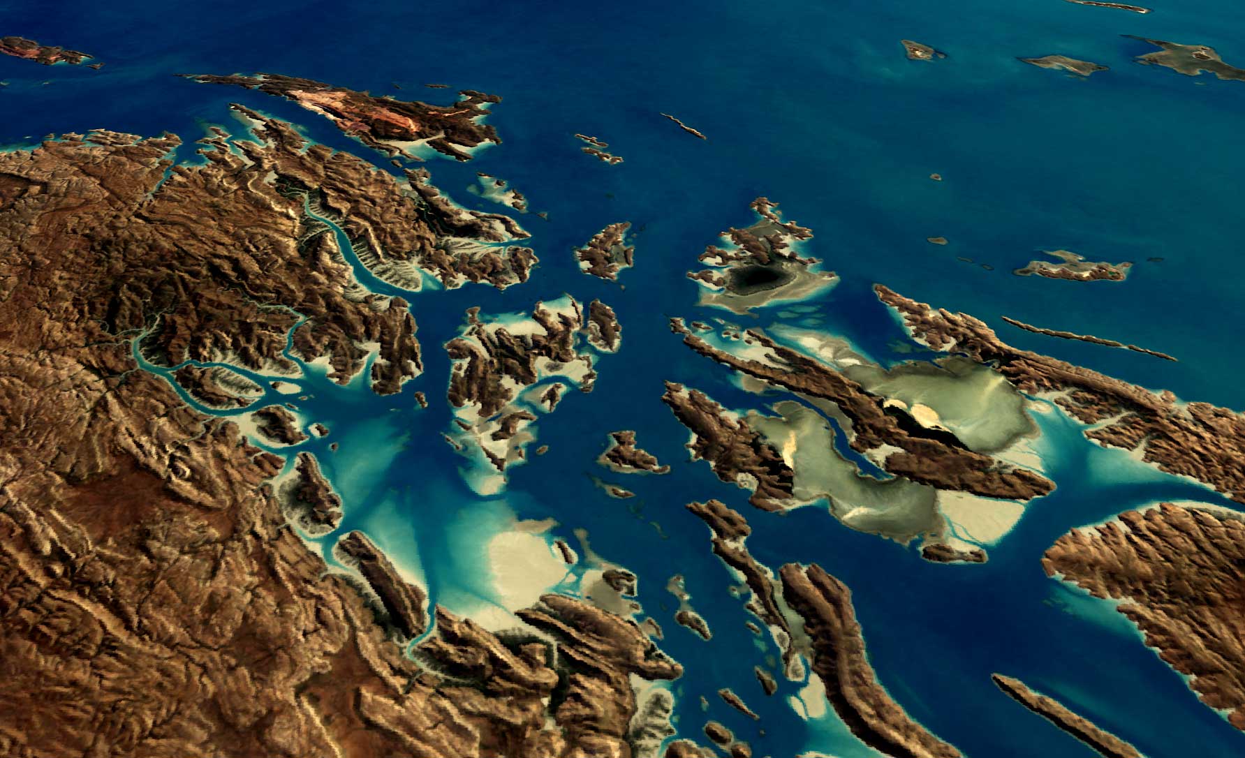
Picturing the ups and downs
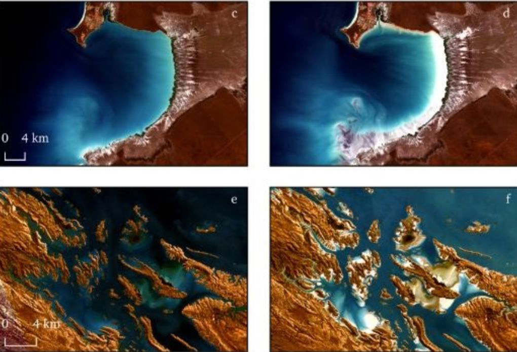
Digital Earth Australia (DEA) High and Low Tide Imagery provides cloud-free imagery mosaics of Australia’s coast, estuaries and reefs at low and high tide, calculating the geometric median of the highest and lowest 20% of tides seen by Landsat satellites over decades.
See Australia's coasts, estuaries and reefs at low and high tide, without the visual noise of clouds, breaking water and sun-glint.
We’ve paired our archive of Landsat satellite imagery with regional tidal models, allowing imagery to be sorted by tide height as well as date.
What can high and low tides reveal?
- Valuable snapshots of the coastline at different biophysical states
- Information for research into how coastal erosion and sea level rise affects intertidal organisms
- New data for coastal habitat mapping and machine learning applications
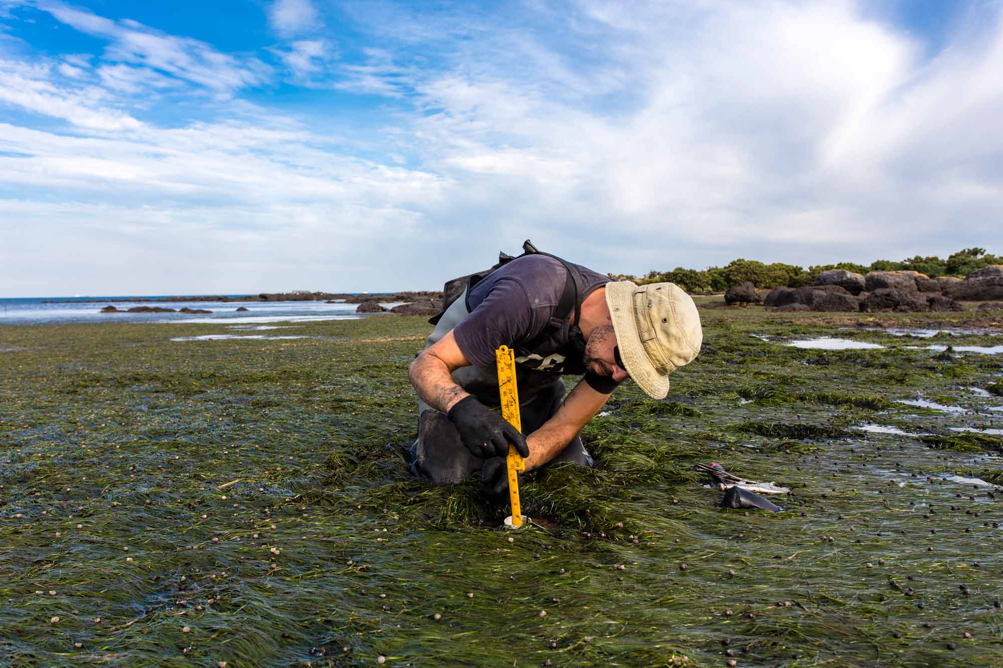
Imagery for impact Reading the tides for threatened shorebirds
The DEA Intertidal Extents product is contributing to estuarine habitat monitoring in northern Australia.
Related resources
Journal Article
Generating Continental Scale Pixel-Based Surface Reflectance Composites in Coastal Regions with the Use of a Multi-Resolution Tidal Model.
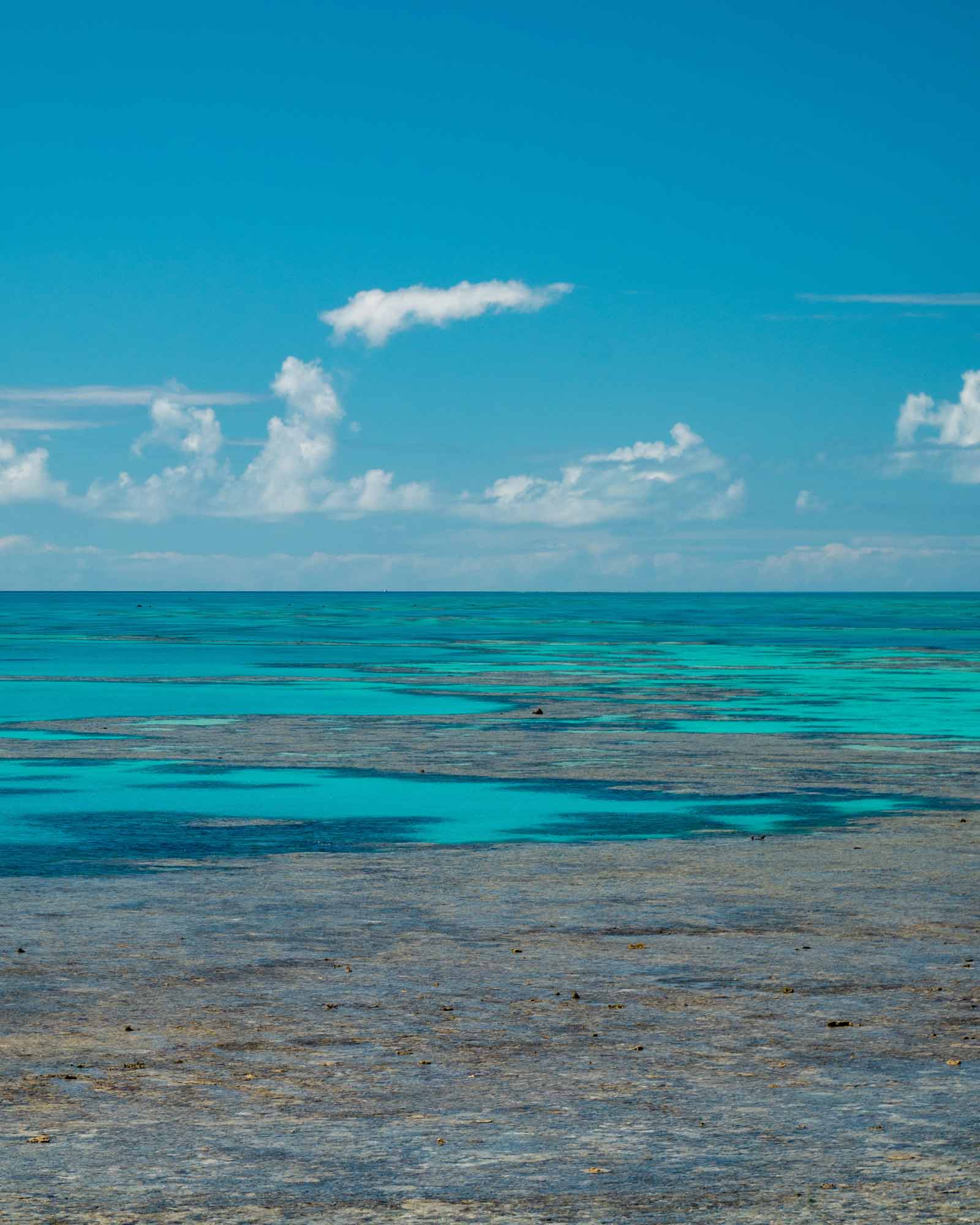
We’re helping map the Reef
DEA satellite data helps reveal the Great Barrier Reef’s sea floor in never-before-seen detail.