Derived data product DEA Hotspots
Page last updated:27 September 2024
Spot areas of high temperature
Digital Earth Australia (DEA) Hotspots is a national bushfire monitoring system that uses satellite sensors to detect areas producing high levels of infrared radiation — called Hotspots — to allow users to identify potential fire locations with a possible threat to communities and property.
Hotspot colour shows how recently it was last observed by a passing satellite (red being most recent). Hotspot size shows how confident the algorithm is in correctly identifying a hotspot (large meaning high confidence).
Updated with new information every 10 minutes, DEA Hotspots can be viewed online, downloaded, or imported as a web service (WMS and WFS), allowing other platforms to draw on Hotspot information without having to store datasets locally.
Learn about how hotspot data is produced, and what it is used for.
How can hotspot monitoring help?
- Get a national view of hotspots so emergency managers can monitor high threat areas
- Help target emergency management preparedness and response activities
- Compare current and historic Hotspot data for any location Australia-wide
- Download and integrate with other satellite data such as Landsat, Sentinel-2 Near Real-Time, or our Fractional Cover and Barest Earth products
Related resources
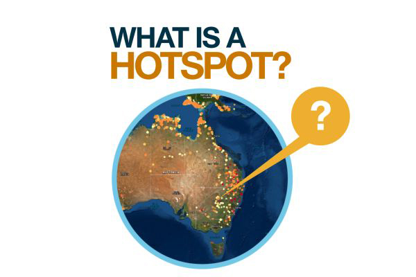
What is a Hotspot?
Hotspots indicate areas producing high levels of infrared radiation detected through analysis of satellite imagery.
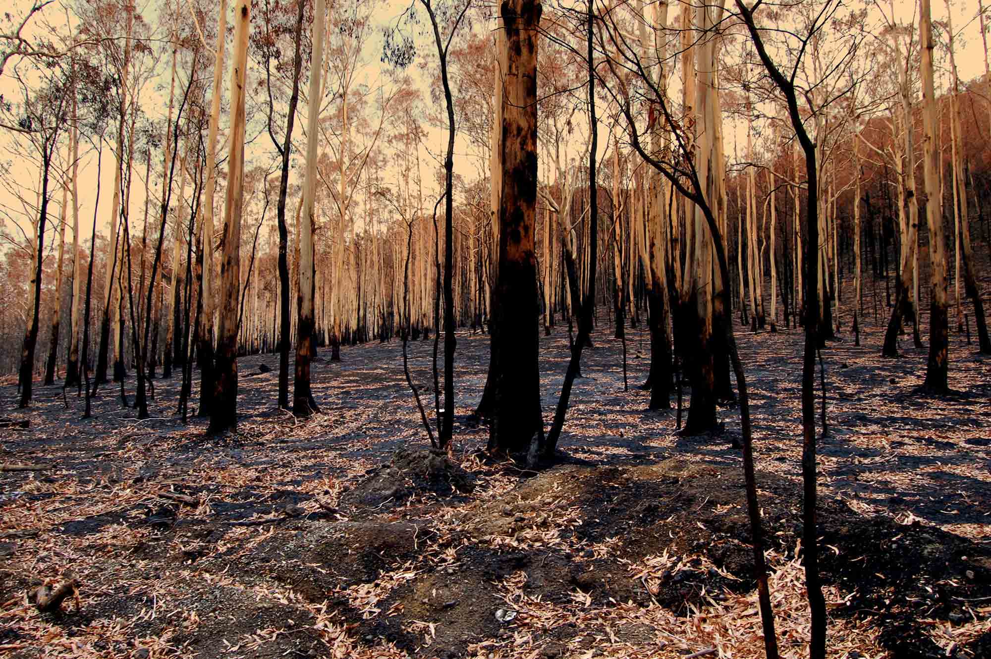
Landsat at work during Black Summer
The partnership between Geoscience Australia and the USGS Landsat program meant satellite imagery was on-hand to assist responders during Australia’s 2019–20 bushfires.
Community Safety
Our natural hazard capability forms part of the backbone behind the most important decisions made by governments, emergency services, and the industry sector.