Derived data product DEA Intertidal Extents
Page last updated:14 June 2016
Define a fluctuating world
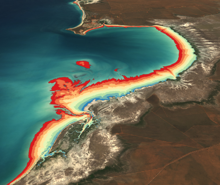
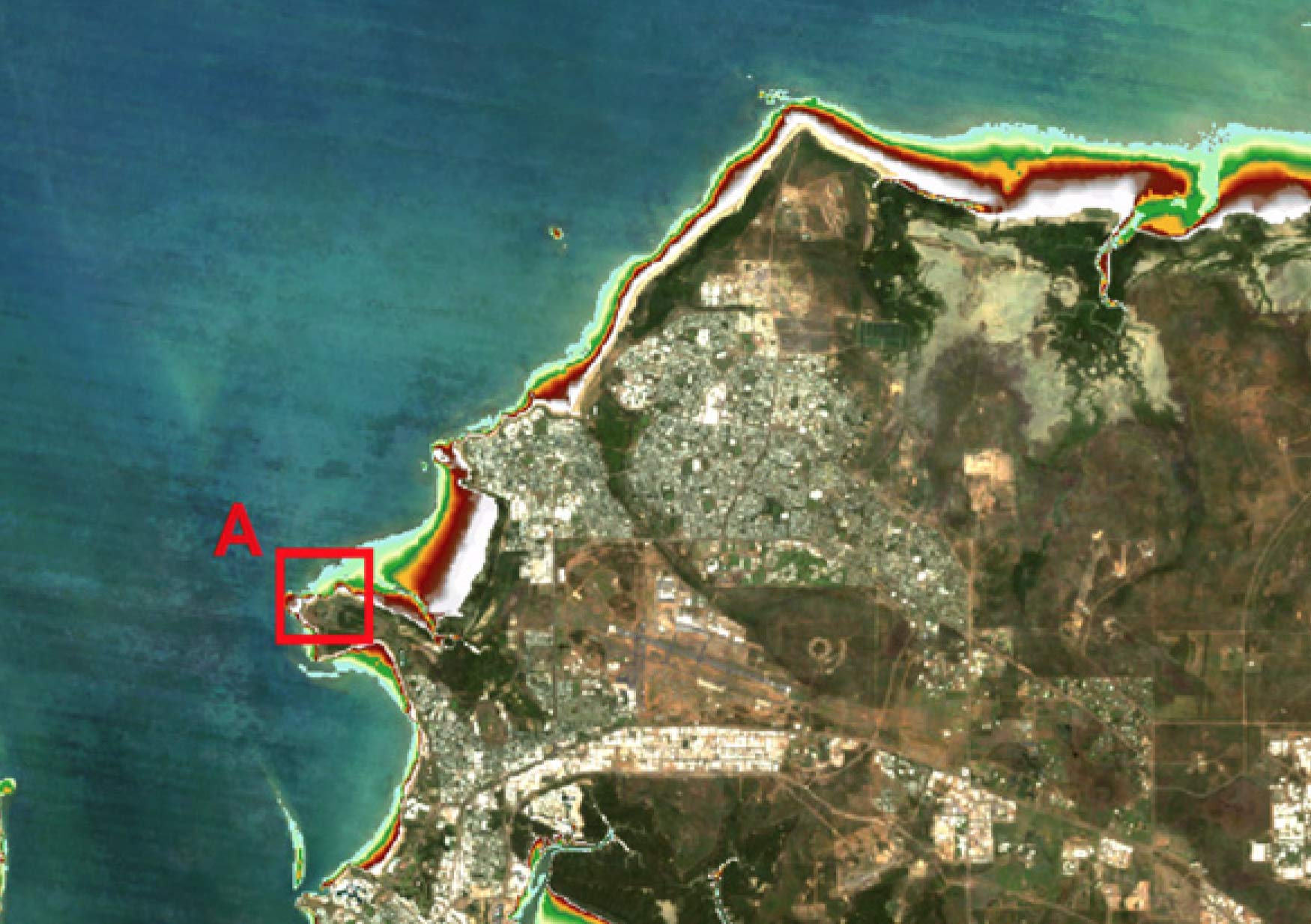
Understanding the boundaries of the ‘intertidal zone’ — the strip of coastal land revealed and concealed daily by ocean tides — has long been a challenge. Digital Earth Australia (DEA) Intertidal Extents gives definition to complex and ephemeral landscapes.
Intertidal zones include critical habitats such as mudflats, seagrass beds, sandy beaches and rocky shores. They’re a literal pool of nutrient-rich organisms and critical bird and sea life.
The dataset provides information on the lowest (LOT) and highest (HOT) observed tides for a chosen geographic cell, revealing the satellite-observed tidal range (HOT-LOT) for any given location.
Why map intertidal extents?
- Get insights into unique costal habitats
- Contribute to studies of key and threatened coastal species
- Understand the topography of the intertidal zone
- Inform geomorphology and hydrodynamic modelling

Imagery for impact Welcome to the intertidal zone
Anyone who has peered into tidal pools or chased crabs on tidal flats knows the intertidal zone represents a rich ecosystem. Now, thanks to three decades of Landsat data, DEA researchers have mapped the intertidal zone map for the entire Australian coast.
Related resources
Journal Article
Extracting the intertidal extent and topography of the Australian coastline from a 28 year time series of Landsat observations.

The “Z” of where land meets sea
The Digital Earth Australia team have created the first 3D model of Australia’s entire coastline.