Baseline data DEA Surface Reflectance
Page last updated:11 May 2022
Landsat and Sentinel-2 imagery ready for analysis
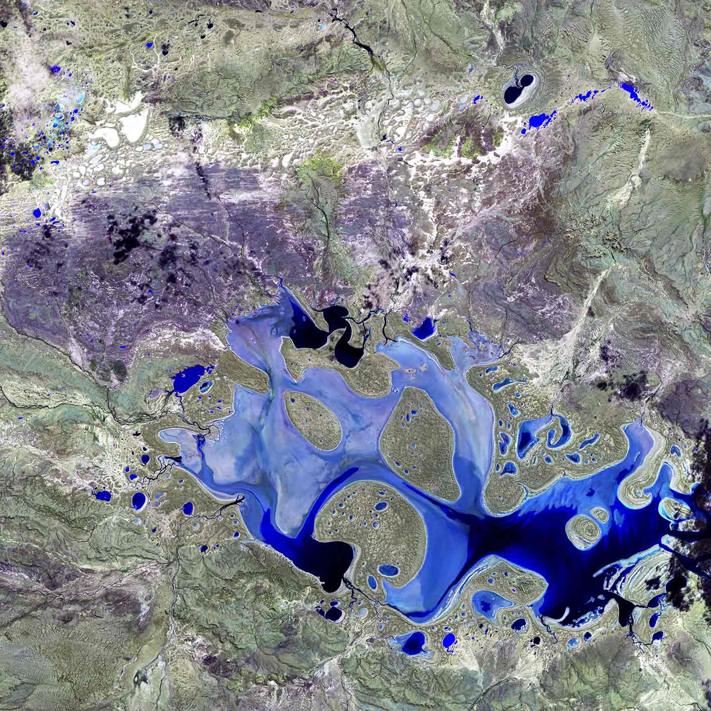
Digital Earth Australia (DEA)’s Surface Reflectance datasets represent the vast archive of images captured by the US Geological Survey (USGS) Landsat and European Space Agency (ESA) Sentinel-2 satellite programs, validated, calibrated, and adjusted for Australian conditions — ready for easy analysis.
Light reflected from the Earth’s surface (surface reflectance) is important for monitoring environmental resources such as agricultural production and mining activities over time.
DEA’s analysis ready datasets have been adjusted and corrected to account for image inconsistencies caused by factors such as atmosphere, cloud cover, terrain shadow, and sun and satellite position.
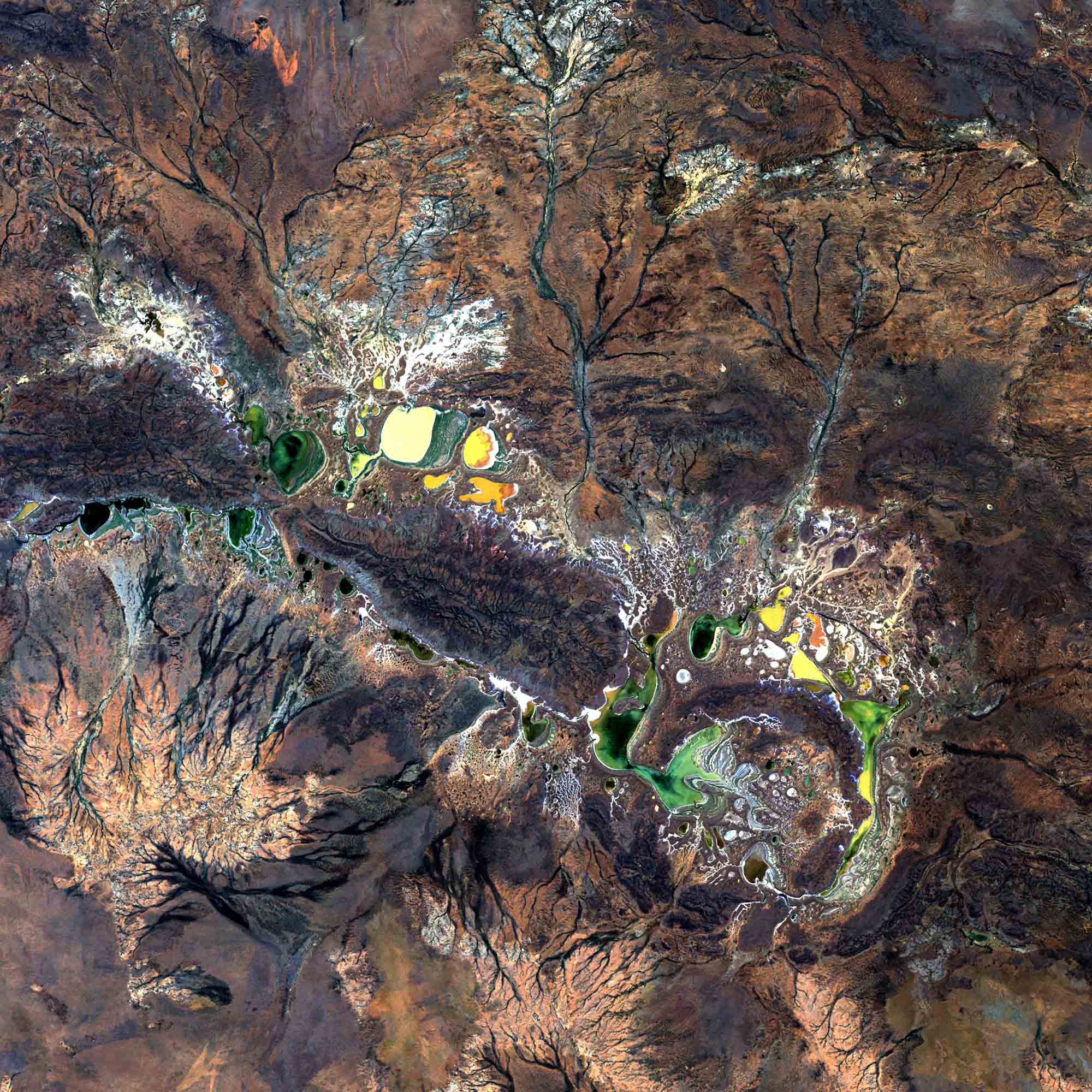
Landsat view of Shoemaker impact crater in Western Australia.
How is DEA Surface Reflectance data used?
- The analysis ready baseline data is used to develop derivative data products
- Products derived from DEA Surface Reflectance include DEA Fractional Cover, DEA Water Observations and DEA Coastlines
- Derivative products may explore landscape metrics such as land use, water availability, urban growth, agriculture, bushfire patterns or the impacts of mining
- Other products can be developed from DEA Surface Reflectance, such as statistical models of surface water or deforestation

Imagery for impact What is analysis ready data?
The calibration and standardisation of satellite data is fundamental to its usability, and we’re making world-leading strides in this work.
Related resources
Learn about Landsat
Satellites from the joint NASA/United States Geological Survey Landsat program have been continuously acquiring images of the Earth’s land surface since 1972.
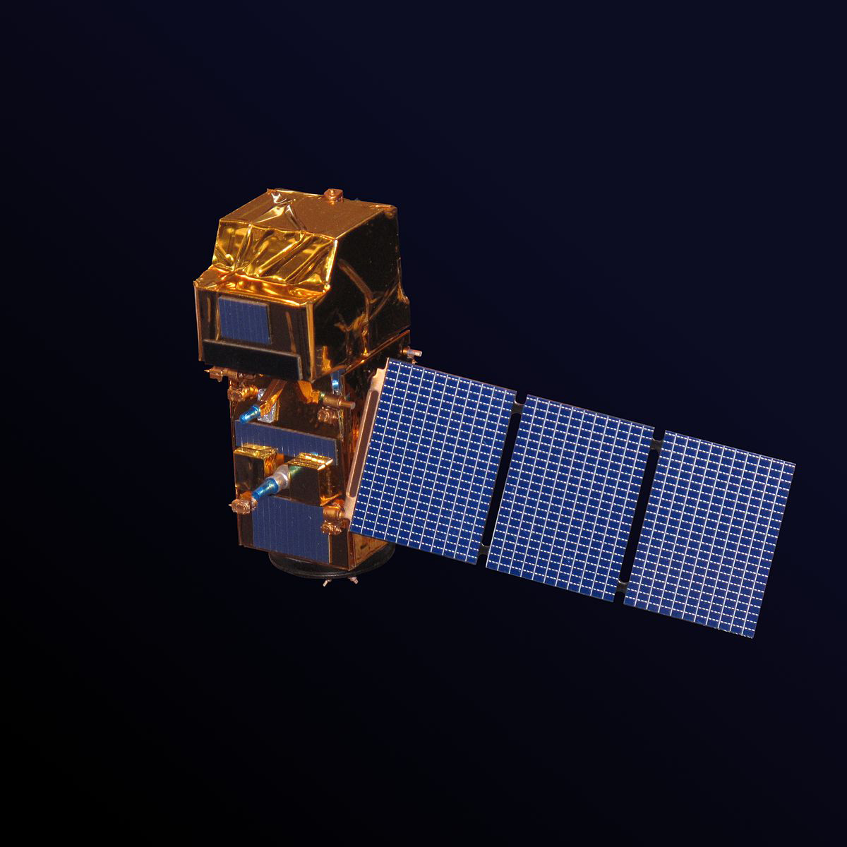
Meet the Sentinels
The first Sentinel satellite mission was launched in 2014 by the European Space Agency on behalf of the European Union’s Copernicus initiative.
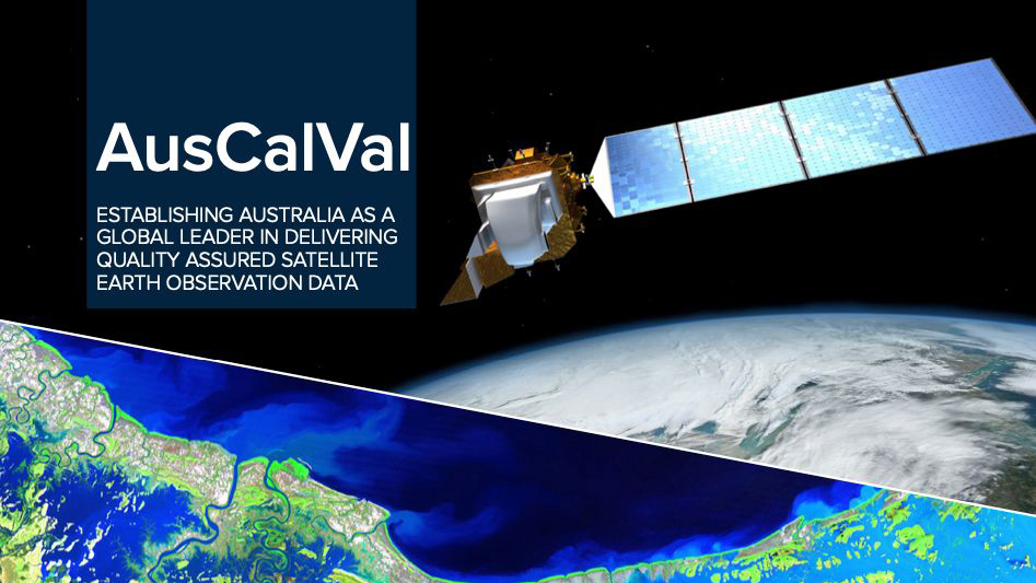
Australia, Calibration and Validation
This report from our partners explores the future of Australia as a global leader in delivering quality-assured satellite Earth observation data.