Derived data product DEA Wetlands Insight Tool (Qld)
Page last updated:20 August 2024
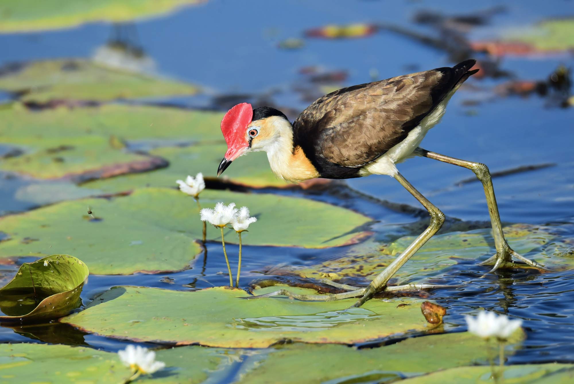
Watch wetlands respond to change
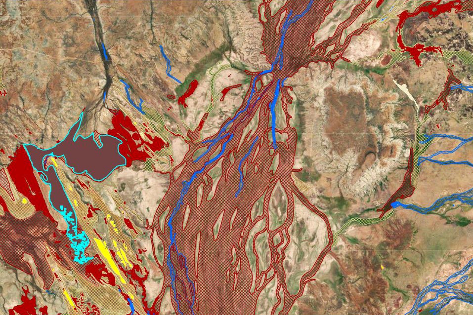
Our precious wetlands are dynamic and diverse environments. The Digital Earth Australia (DEA) Wetlands Insight Tool (Qld) gives visibility of changes to the amount of water, green vegetation, dry vegetation, and bare soil that have taken place in key Queensland wetlands since 1987.
The tool helps managers understand how wetlands respond to changes in river flow, flood frequency, rainfall, invasive weeds and seasonal water availability.
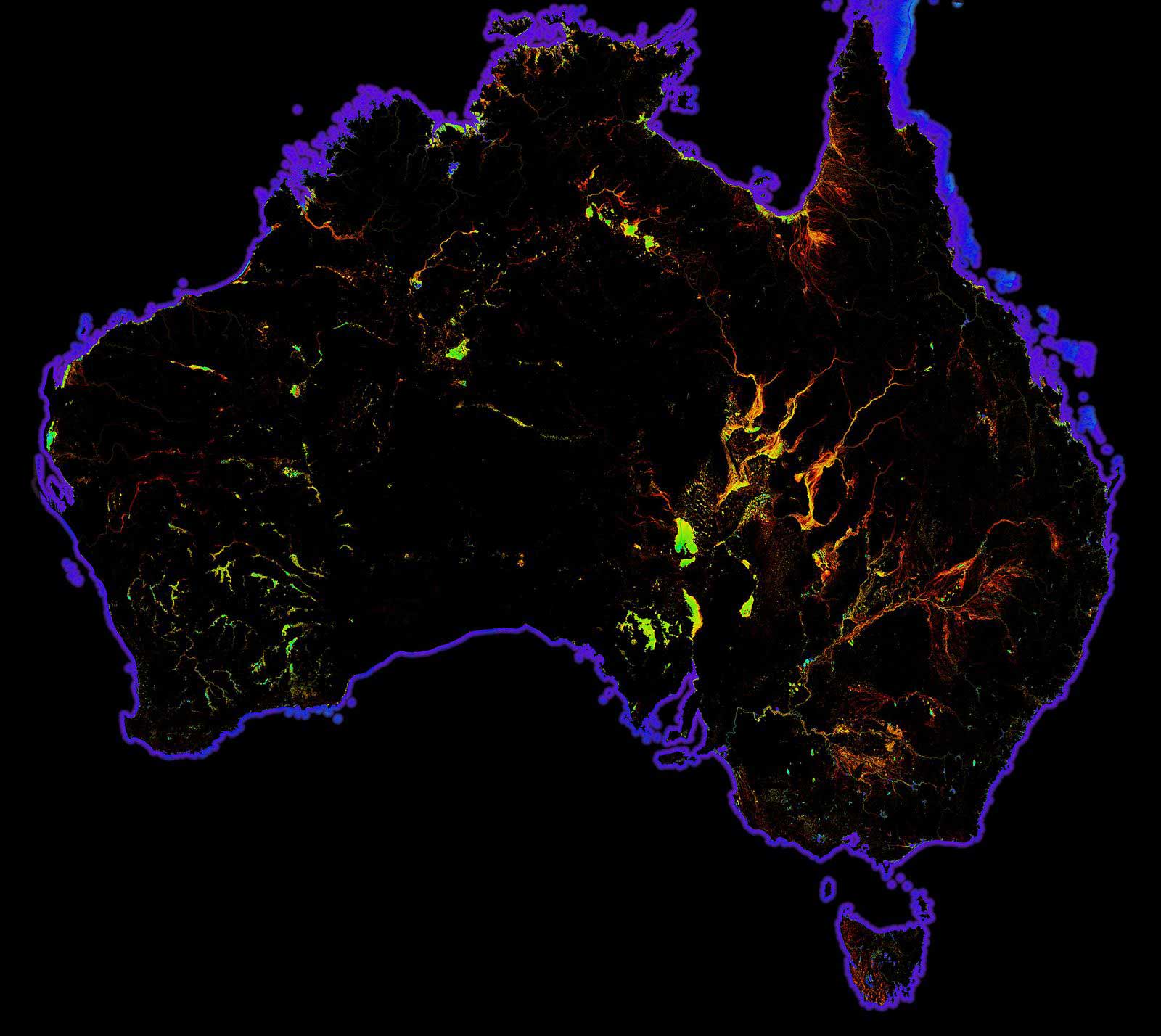
The DEA Wetlands Insight Tool (Qld) was produced for over 270,000 lacustrine and palustrine (lake and swamp) wetlands in Queensland.
Why watch wetlands from space?
- Inform catchment managers, environmental water holders and wetlands scientists
- Support research into wetland responses to change and threats
- Help planners and developers work sustainably with wetlands
- Provide government, industry and community with new wetlands information
Imagery for impact Locking our eyes on wetlands
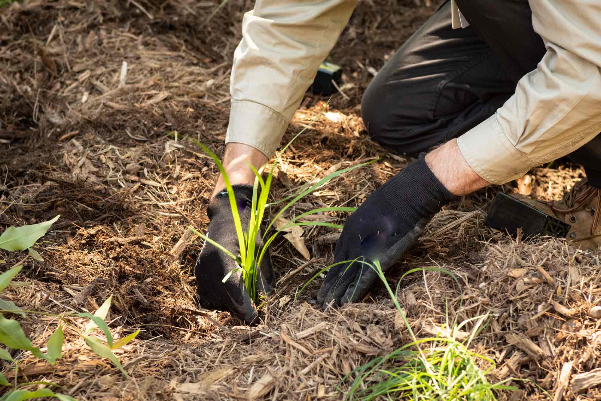
We work with wetlands experts and leaders across Australia to see satellite data and imagery promote the health and sustainability of our unique wetlands.
Related resources

Queensland WetlandMaps
Information on how to access the Wetlands Insight Tool using the Qld WetlandMaps service.
DEA Water Observations
Continent-scale map of surface water that classifies each pixel from Landsat satellite imagery as wet, dry or invalid.
Satellites for sustainable development
Mapping Australia’s progress towards the 2030 Sustainable Development Goals.