Baseline data National Spectral Database
Page last updated:18 June 2024
Your supplied spectral data, curated
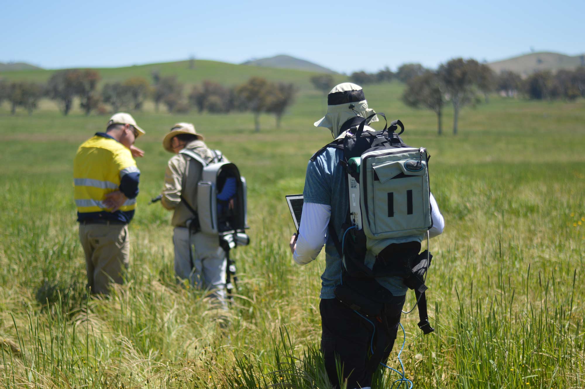
The National Spectral Database (NSD) houses best-practice spectral data collected by Australian remote sensing scientists from multiple locations and institutions across the country. As the collection grows the NSD will service continental scale research for the Earth observation community and support application such as the validation of satellite-based measurements of surface reflectance.
The National Spectral Database targets as diverse as soils, vegetation, waterbodies, coral, macro to micro algae, seagrasses and land surfaces.
The database also includes field-based data routinely collected by Geoscience Australia’s Digital Earth Australia program for calibration and validation measurements, as well as spectral data previously hosted by the University of Wollongong.
Why collate spectral data?
- Provide a wealth of knowledge to remote sensing scientists
- Compare EO reflectance data to a useful resource of ground-truth data
- Curated data going back to 1994

Imagery for impact What is analysis ready data?
The careful processing of satellite data is fundamental to its usability, and we’re making world-leading strides in this work.
Related resources

Songlines to soar for science and country
A unique collaboration between Geoscience Australia and a Ngambri-Wiradjuri firefighter is launching two Aboriginal totems into the sky.

Journal Article
This article documents the evolution of the SPECCHIO system, devised to enable long-term usability and data-sharing of field spectroradiometer data.

Australia, Calibration and Validation
This report from our partners explores the future of Australia as a global leader in delivering quality-assured satellite Earth observation data.