Satellite imagery at work Environment
Page last updated:23 October 2024
Satellites empower environmental science
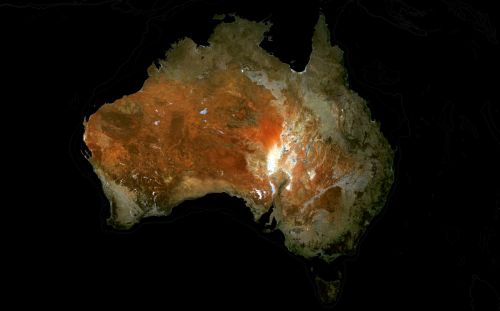
When Landsat 1, the first Earth observation satellite, launched in 1972, less than half the Earth had been accurately mapped.
The data Landsat provided led to a re-mapping of Antarctica, the creation of the first worldwide glacier map, and a new understanding of the Amazon’s true positioning.
For more than 50 years, Landsat has shown the power of remote sensing data to reveal our planet’s true reality.
Today, satellite imagery continues to uncover new knowledge about our lands, waterways and coasts. Australian scientists, conservationists and environmental managers are proving to be natural leaders in the clever application of Earth observations.
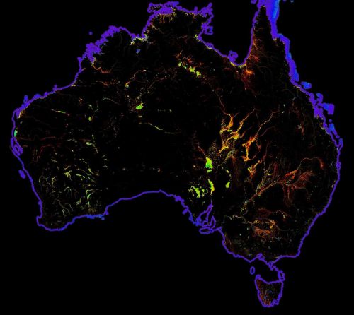
Our data supports research into changes in canopy cover, wetlands ecosystems, coastal environments, biodiversity, the impacts of sea level rise and climate change.
Want our data to empower your research?
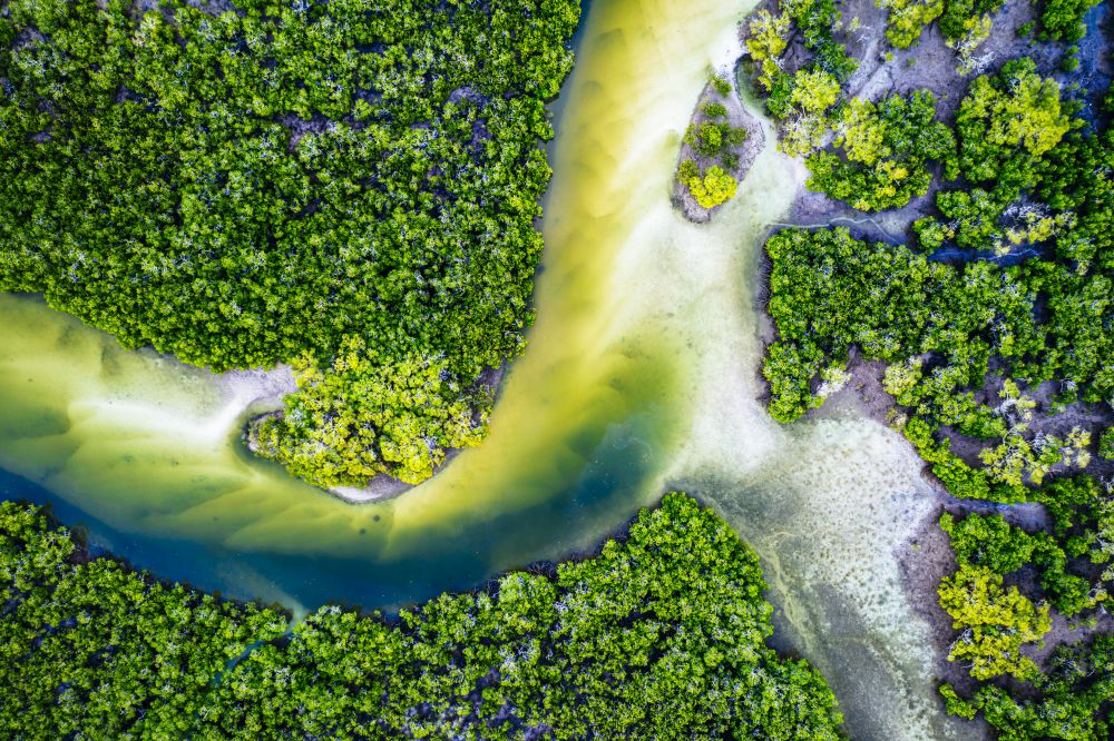
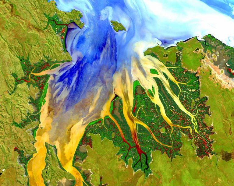
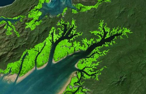
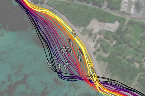
Mangroves on the move
For over thirty years, Landsat data has been instrumental in mapping the nationwide movement and migration of Australia’s mangrove forests. This extensive dataset provides invaluable insights into the dynamic changes and trends effecting these vital coastal ecosystems.

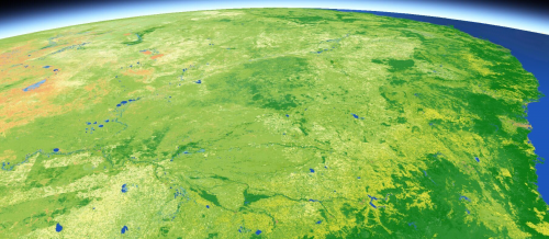
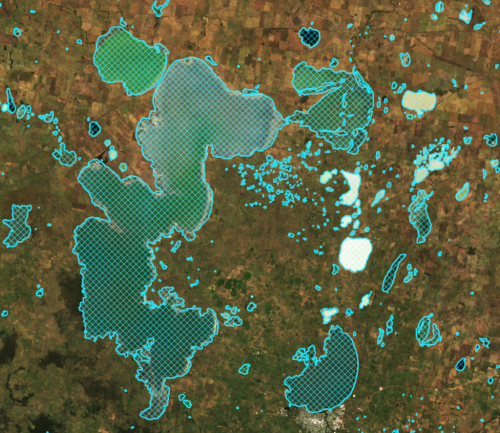
Putting better eyes on our wetlands
Digital Earth Australia (DEA) brings together four leaders whose innovative use of satellite data is shedding new light on our precious wetlands. Our work is providing fresh perspectives and deeper insights into the health and dynamics of these vital ecosystems.
Related resources
DEA Land Cover
Satellite data insights into land, vegetation, and waterbodies changes down to every square 30 metres across Australia since 1988.
DEA Mangrove Canopy Cover
Annual maps breaking canopy into three classes according to greenness of satellite image pixels at 30 m resolution.
DEA GeoMAD
A geometric ‘average’ based on culminative statistical data from each year.
DEA Water Observations
Continent-scale map of surface water that classifies each pixel from Landsat satellite imagery as wet, dry or invalid.
DEA Waterbodies
View the mapping of more than 300,000 waterbodies across Australia with wet surface area present more than 10% of the time.
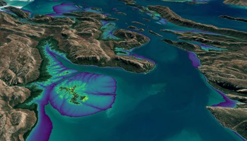
DEA Intertidal
Digital Earth Australia’s Intertidal product suite captures Australia’s dynamic coastal regions in unprecedented detail.
DEA Coastlines
Satellite data combined with tidal modelling to map typical annual locations of mean sea level coastlines since 1988.