DEA for developers Get started with our data


Your space to play with satellite data
Welcome to the DEA Sandbox
The DEA Sandbox is a learning and analysis environment for getting started with Digital Earth Australia (DEA) and our Open Data Cube.
It includes sample data and Jupyter Notebooks that demonstrate the capability of the Open Data Cube. The Sandbox is free to use.
Follow our guides

Get an introduction to Jupyter Notebooks, Digital Earth Australia, and how to load, plot and interact with our data.

See Notebooks on our baseline satellite data and derived products, including how to load each data product and special features of the data.
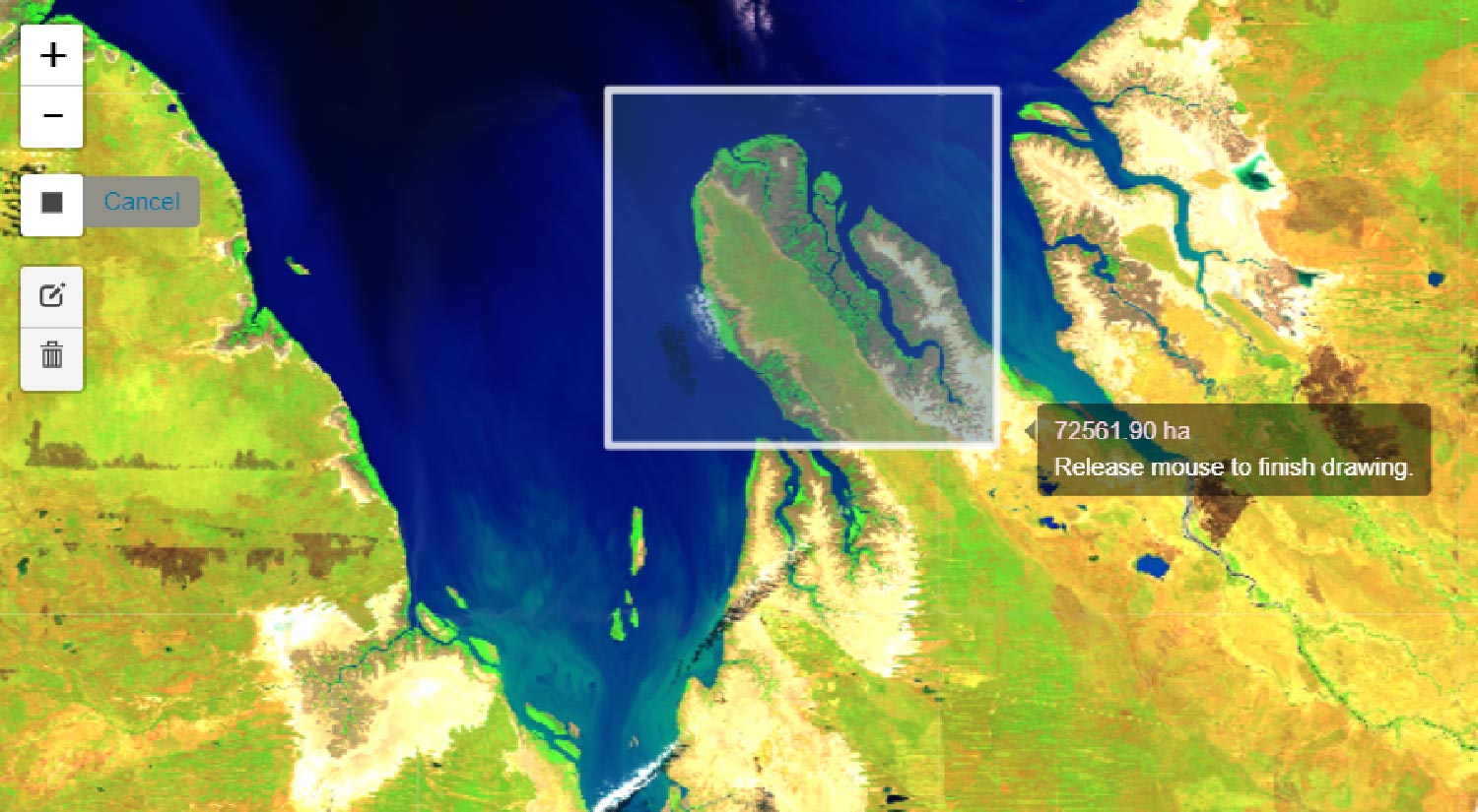
Explore DEA's satellite data and products using interactive applications that require little or no coding to run.

A recipe book of simple code examples demonstrating how to perform common geospatial analysis tasks using DEA and open source software.
From detecting change in forests to monitoring chlorophyll in waterbodies, see code demonstrations of how DEA can be used to address real-world problems.

See real-time reporting metrics on the latency, user statistics, storage and web service performance of DEA products.

Register for training
DEA for Geospatial Analysts
Get familiar with using Python to explore DEA data in this two-day in-person and online live course. An introduction to scientific Python is provided and geospatial concepts are presented using practical and interactive examples through Jupyter Notebooks.
By the end of the course, you’ll have the necessary knowledge to use DEA satellite data and apply it to solve a range of analytical problems.
Related resources

Ways to access DEA data
We're working with you to offer multiple pathways to satellite imagery and data.

Training: DEA for Geospatial Analysts
Get familiar with DEA’s development sandbox using Python to access and explore DEA satellite data.

Digital Earth Australia recognised for excellence
The DEA Open Data Cube receives Outstanding Digital Platform of the Year.

The Open Data Cube
The Open Data Cube is the platform that makes our satellite imagery and data accessible. It’s also an open source project that’s gone global