DEA Learning Hub Make space for new possibilities

Watch our latest seminars
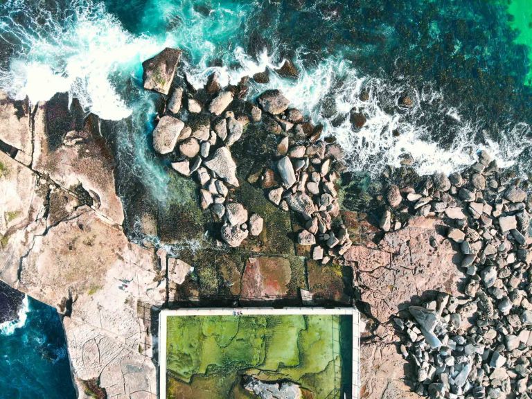
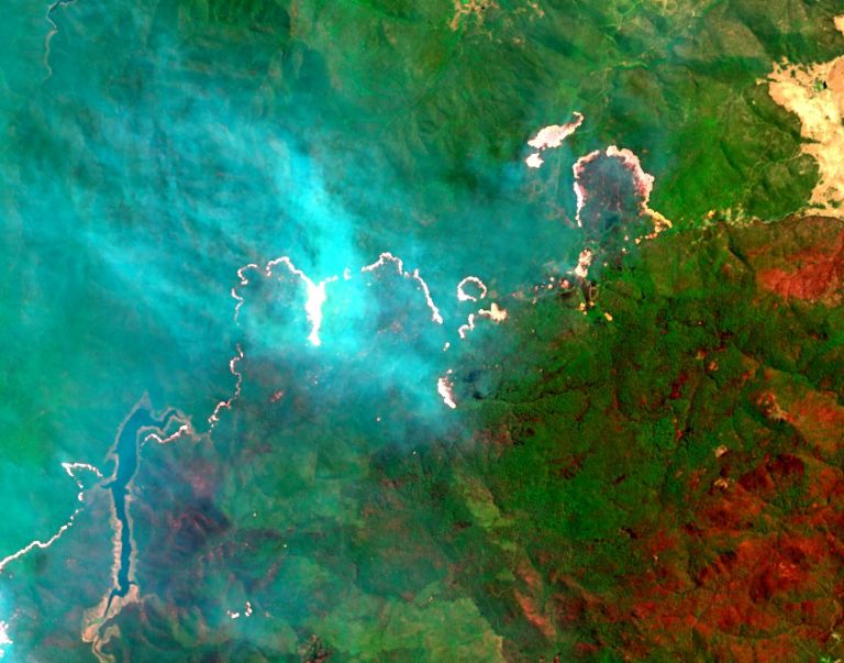
See how DEA tools can provide new information to help maintain and protect Australia’s iconic coasts and shores for future generations.
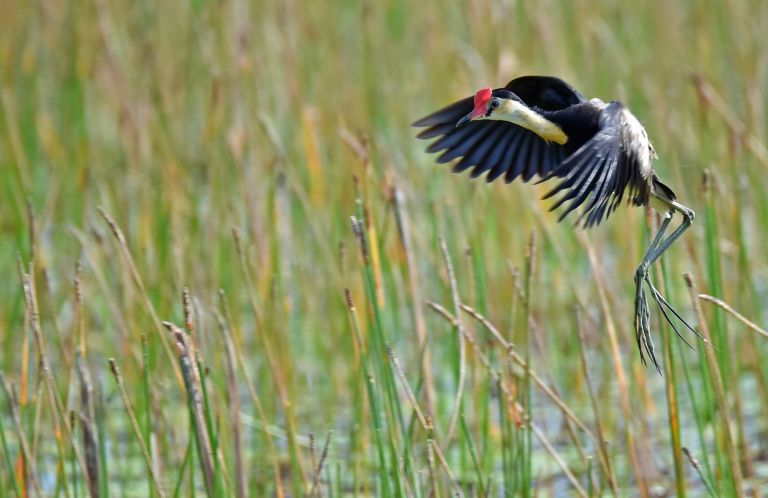
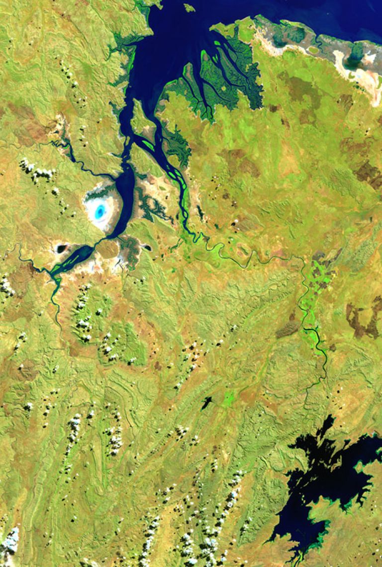
DEA is collaborating with governments, industry, and community to help maintain the health and sustainability of Australia’s unique and diverse wetlands.

DEA’s Assistant Director of Product Development, Dr Claire Krause, presents at the Open Data Cube Conference 2021.
We talk with the United States Geological Survey (USGS) about how cloud data access is enabling the application of data science at a previously unimagined scale.
Learn how DEA is working with government and industry partners from the NSW Natural Resources Access Regulator (NRAR), FrontierSI and AgriFutures Australia.

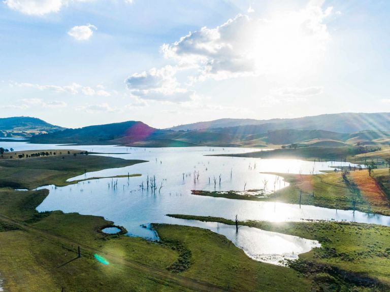
We’re working with Australian industry and agriculture to change the way we understand and manage our natural resources.
Meet the experts working with satellite imagery for citizen science, a new land cover classification system, and DEA Hotspots.
Related resources

Ways to access DEA data
We're working with you to offer multiple pathways to satellite imagery and data.
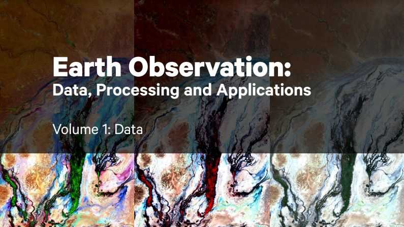
Earth observation textbooks
Three volumes of Australian-focussed EO learning resources, provided in collaboration with Earth Observation Australia.

DEA glossary
Lost in the lingo? Make sense of the language of satellite imagery and Digital Earth Australia, including common terms and acronyms.

DEA citations and papers
Digital Earth Australia constantly contributes to improving Earth observation science, with academic papers published in peer-reviewed journals.
Learn from our partners
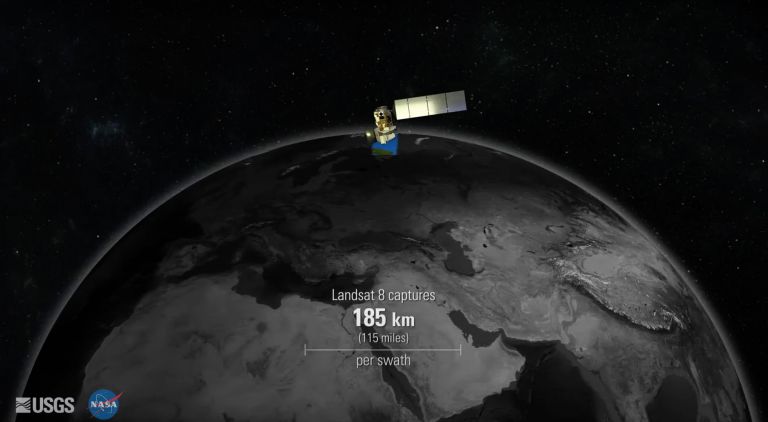
Get a unique view of Landsat 8’s 16-day orbit in this animation from the USGS Earth Resources Observation and Science Center.
The Landsat 8 satellite takes pictures of the Earth using different wavelengths of light. These 'bands' can be used to tell stories about what's happening back on Earth.
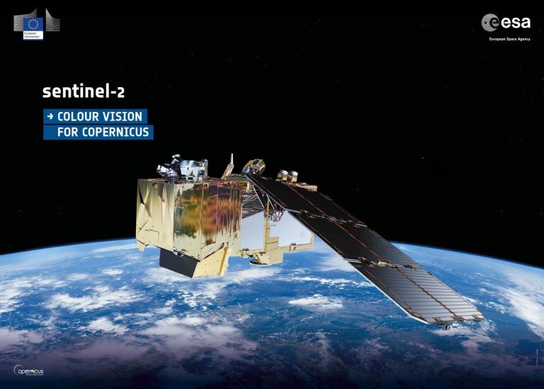
The European Union’s Copernicus program is a revolutionary Earth observation and monitoring program which includes the Sentinel satellite missions.
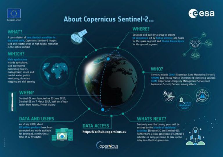
The Sentinel fleet of satellites is at the heart of the European Union’s Copernicus program. The European Space Agency introduces each of the Sentinels.
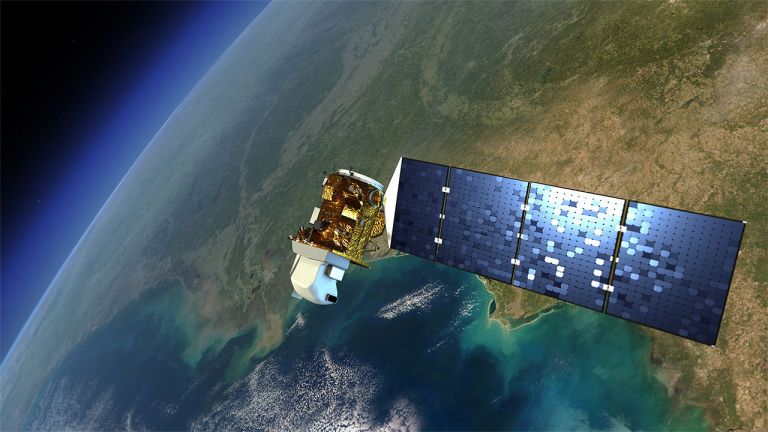
The joint NASA/USGS Landsat program maintains a 40-year data record of monitoring Earth's landscapes from space.
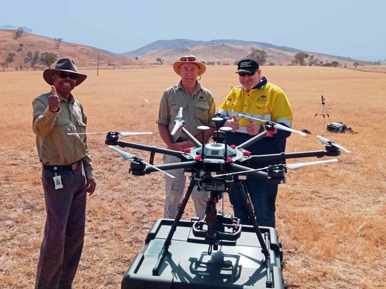
Meet the DEA drones
What role do remotely piloted aircraft play in building satellite data products?
Our fleet of drones fly optical sensory equipment over otherwise inaccessible landscapes for the DEA Analysis Ready Data team.
The data they capture is used to validate information received from satellites in orbit against what can be observed on the ground.