DEA news and updates
Satellite imagery at work in our community
Page last updated:18 June 2024
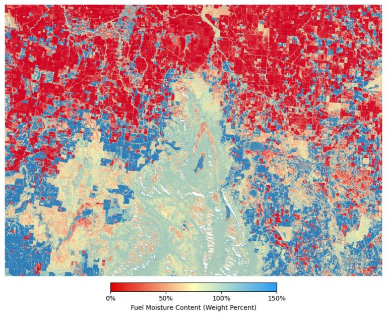
Geoscience Australia has launched a powerful new tool to support bushfire preparedness across the country: The DEA Fuel Moisture Content (FMC) product.
Geoscience Australia is excited to announce the release of DEA Land Cover 2.0, incorporating the latest U.S. Geological Survey (USGS) Landsat data, including enhancements from Landsat 9, for improved accuracy and detail.

DEA GeoMAD delivers annual composite images of Australia, providing insight into the annual ‘average’ observed conditions.

Stay up to date with releases, outages and updates that may impact you.
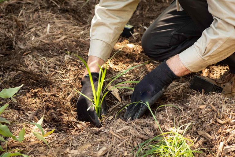
Learning from the past to plan for a better future: Supporting nature-based climate change solutions through Earth observation.

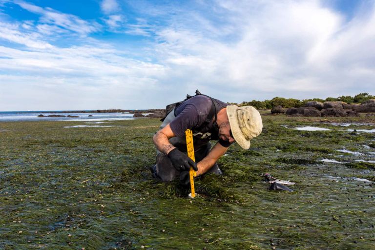
The new Digital Earth Australia Intertidal product suite captures Australia’s dynamic coastal regions in unprecedented detail.

An archive of Digital Earth Australia’s newsletters and Tech Alerts.
Learning from the past and planning for the future. Using Earth observation products and tools in the fight to achieve global food security.
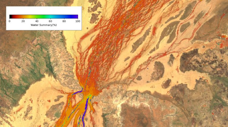
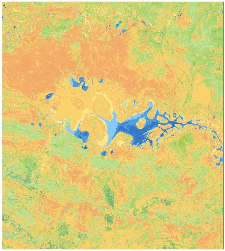
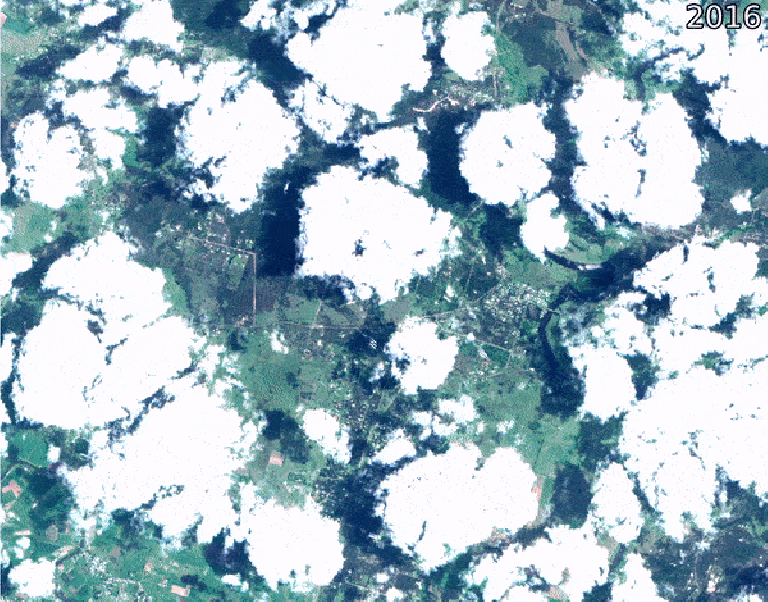
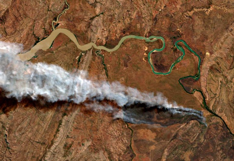
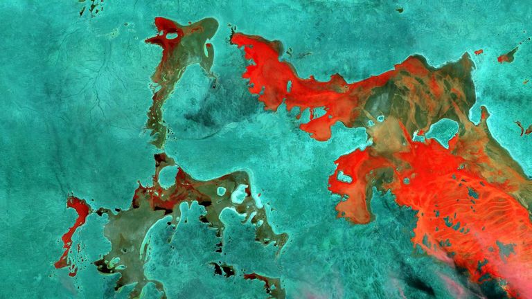
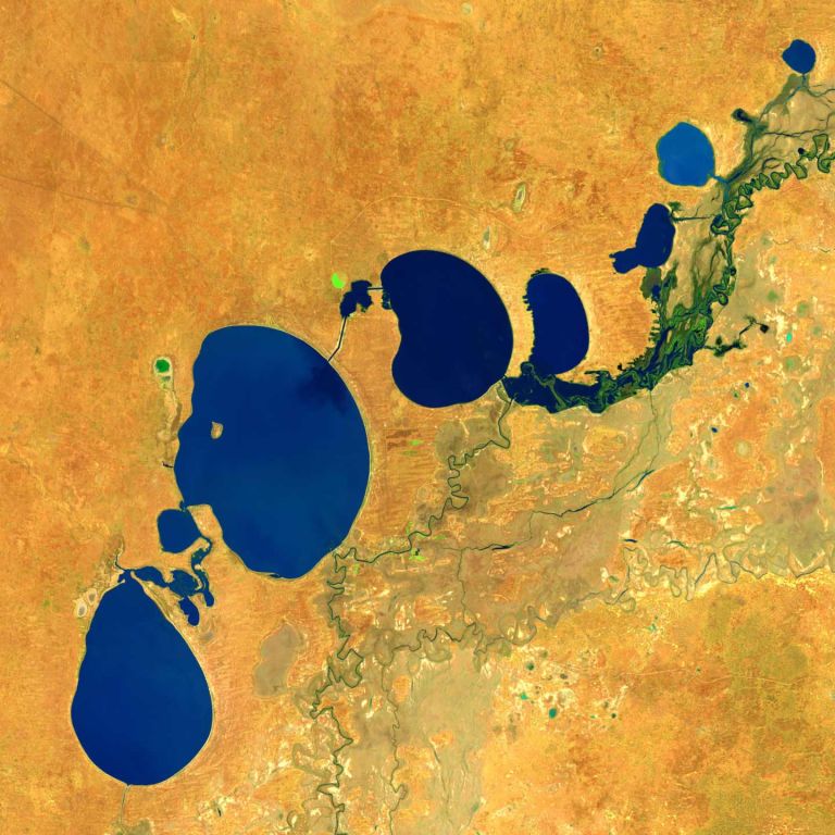
The channels are always changing on the way to Kati Thanda-Lake Eyre in South Australia where recent heavy rains have seen flood plains filled in central Australia.

The Knowledge Hub brings together our User Guides, Data Product information, DEA Notebooks, and more into one central location.
Looking to the past to protect the future: Landsat-based Earth observation products and tools informing water security initiatives around the world.
How leading-edge Landsat based Earth observation products and tools are helping us to understand Africa’s and Australia’s coastlines.
Landsat 9 data has been validated, calibrated, and adjusted for Australian conditions for easy analysis across the entire continent.
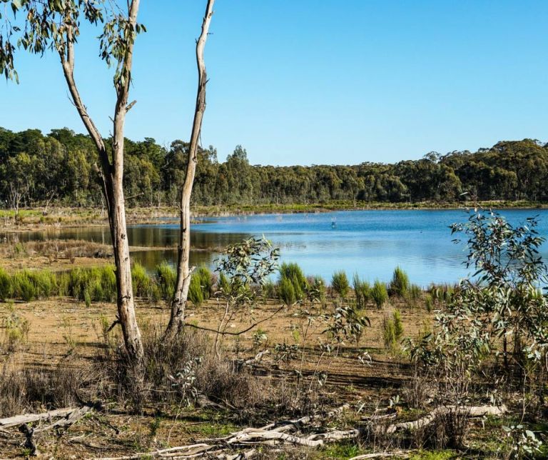
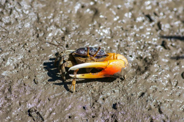
Practitioners managing the wellbeing of wetlands have a new tool at their disposal. The Wetland Insight Tool (WIT), developed by Geoscience Australia, provides a visual summary of 35+ years of wetland dynamics.

Over the two decades he's worked in remote sensing, Norman has seen Earth observations go from on-request DVD mailouts to distributed, instant big data and time series analysis.
EOCSI is an initiative led by Australia’s national science and geoscience agencies, CSIRO and Geoscience Australia to support the growth and implementation of Earth Observation (EO) -based products and services in South East Asia.
Now includes 2021 data, plus new coverage of the Great Barrier Reef, the Torres Strait and northwest WA offshore reefs and islands.
Collection 3 uses the same raw data as the previous collection, but it's processed and packaged in a more accurate and accessible way.
The Digital Earth Australia Roadmap sets out our vision, mission and strategic objectives for the years ahead.
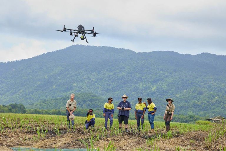
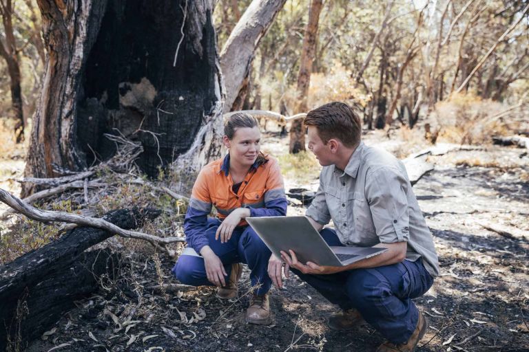
DEA Cal/Val scientists deploy drones in Far North Queensland to construct an accurate topographical map of an artificial wetlands terrain while exchanging knowledge with the Wanjuri people.
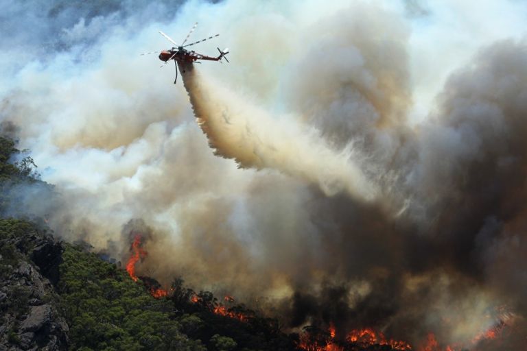
Earth observation (EO) organisations and emergency services have a long history of cooperation and knowledge sharing.
Belle creates amazing artwork in the process of doing her job. She gets a kick out of it every time.

Our satellite data providers are making changes that may impact you

We're upgrading our Landsat products to a new version that may impact some users.

Geoscience Australia has taken part in a global campaign to compare data from the Landsat 8 and 9 satellites during a rare underfly.
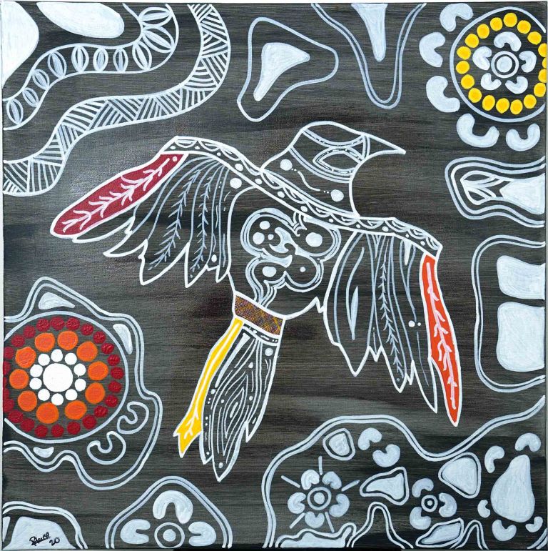
A unique collaboration between Geoscience Australia and a Ngambri-Wiradjuri firefighter is launching two Aboriginal totems into the sky.
Satellite data is an untapped resource in Australia’s mining and METS sector, finds this report from FrontierSI.
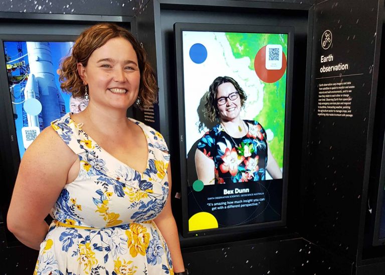
This Earth observation scientist is diving deep into satellite data to better understand Australia’s wetlands.
Digital Earth Australia is proud to work with artist Grayson Cooke, whose interpretation of Landsat satellite imagery is opening up new perspectives on our planet.
Digital Earth Australia has partnered with FrontierSI to deliver a strategy for improving the uptake of satellite imagery.

The DEA Open Data Cube receives Outstanding Digital Platform of the Year.
Mapping Australia’s progress towards the 2030 Sustainable Development Goals.
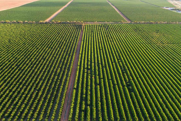
Digital Earth Australia provides seed funding to help farmers get the most from satellite imagery.

The Digital Earth Australia team have created the first 3D model of Australia’s entire coastline.

DEA satellite data helps reveal the Great Barrier Reef’s sea floor in never-before-seen detail.
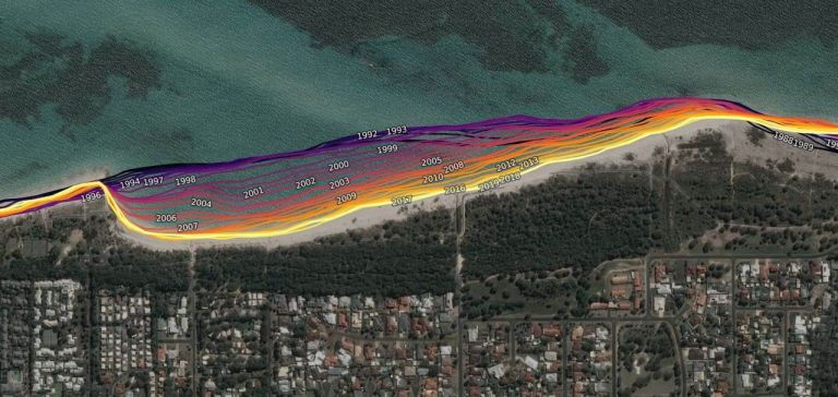
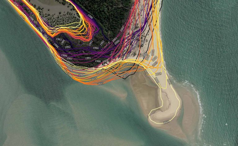
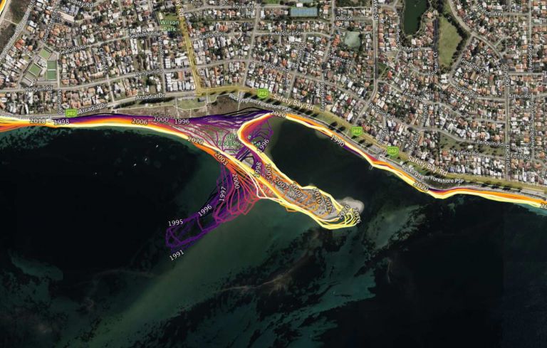
Mapping 50,000 km of Australian coast with three decades of Landsat data.
Digital Earth Australia data is supporting studies into threatened and migratory species.
Satellite data maps of Australian waterbodies are fuelling a more confident flightpath for Victoria’s CFA.
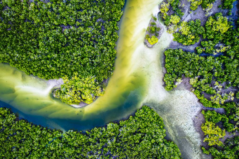
Thirty years of Landsat data maps the nationwide movement and migration of Australia’s mangrove forests.
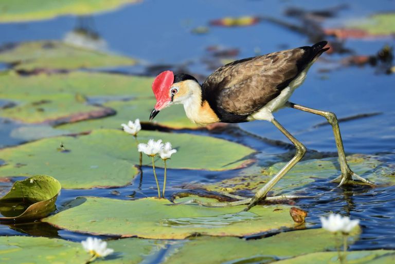
Satellite data is providing new perspectives on wetlands, say these leaders.
The algorithm behind our DEA Fractional Cover data product turns complex satellite image capture sensitivities into simple colours for easy interpretation.
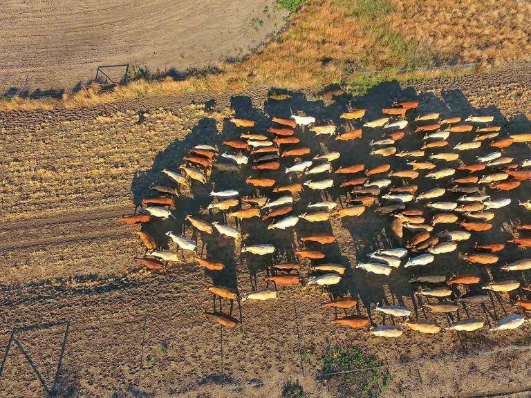
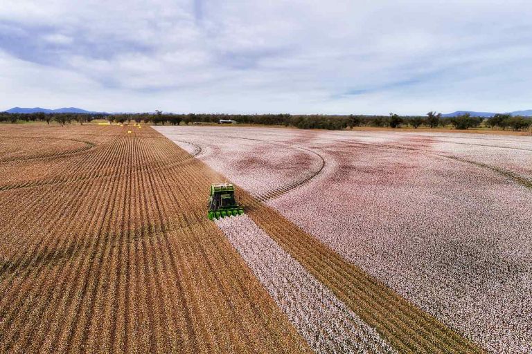
Cibo Labs depends on DEA data to help graziers manage more than 20 million hectares productively and sustainably.
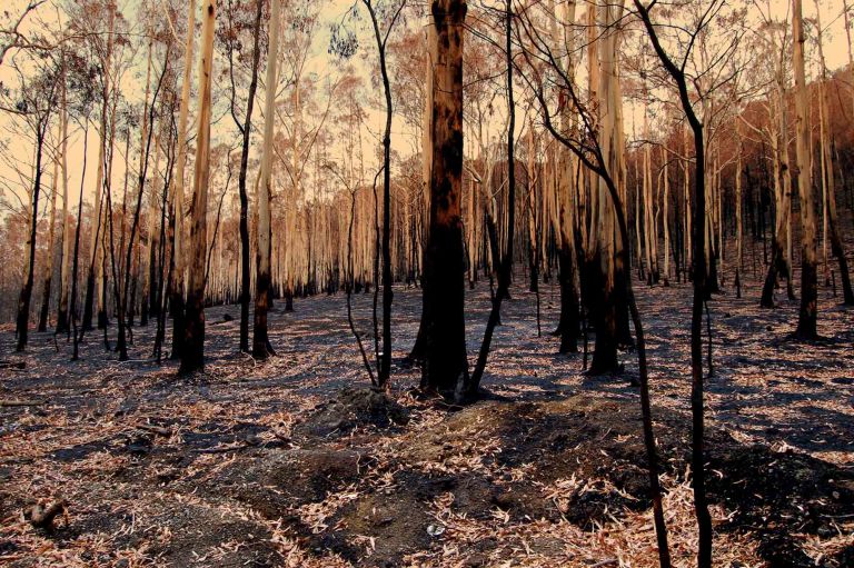
The partnership between Geoscience Australia and the USGS Landsat program meant satellite imagery was on-hand to assist responders during Australia’s 2019–20 bushfires.
The CEMS agreement between Australia and the European Union gives emergency services ‘radar vision’.
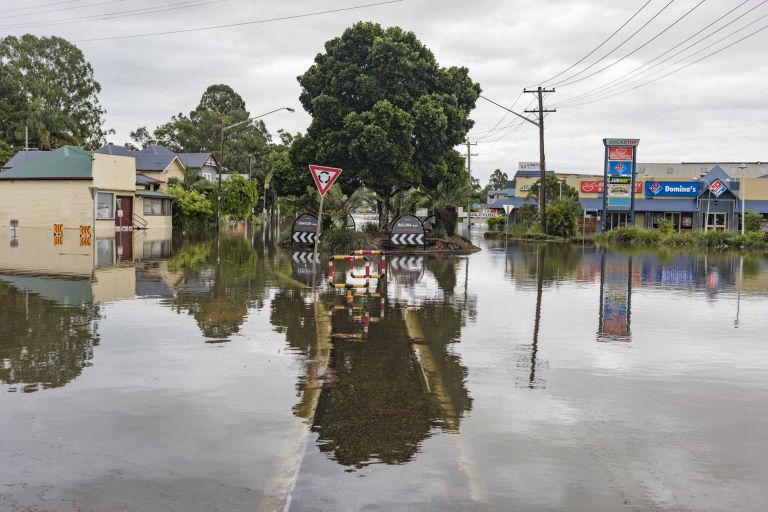
Digital Earth Australia datasets have helped raise New South Wales’ capacity for water governance by 500 per cent.