Big picture people Meet Belle Tissott: Land Cover creative
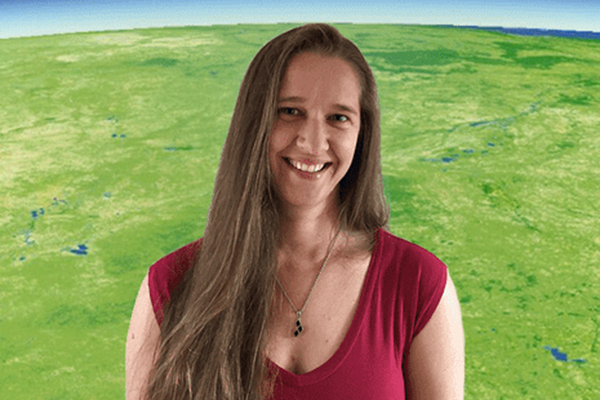
Belle Tissott is passionate about the environment, mathematics and computing. Yet it’s the “artwork” she creates with satellite data that really excites her.
Page last updated:18 June 2024
Belle Tissott works on Digital Earth Australia’s Product Development team, turning satellite imagery data into maps. Belle is passionate about the environment, mathematics and computing – which perfectly suit her role as assistant director in charge of developing DEA Land Cover. Yet it’s the “artwork” created in the process of her job that really excites her.
“I feel like I'm like a little kid,” she says about turning decades of satellite and mapping data into sleek, eye-catching visual images that tell the story of Australia’s changing landscape.
We asked Belle to share with us some insight into her creative flair.
What do you work on?
I lead a team of scientists and software engineers working on methods to process and analyse satellite imagery to map and better understand Australia's land and water. The past few years our major focus has been on the development of the DEA Land Cover product, made up of consistent annual land cover maps for Australia that span back 30 years.
And why does it matter?
I’m passionate about the environment and doing what we can to look after it. I think that to do this well we first need to understand the past, look back at where it once was, what’s changed, and why. Building a strong understanding of how our landscape has changed over time, both due to natural forces, and human activities, puts us in a position to make better, more informed decisions going forward.
Take a walk through DEA Land Cover
Learn about our ever-changing land with DEA Land Cover, which translates over 30 years of satellite imagery into evidence of Australia's land, vegetation and waterbodies have changed over time.
How did you come to work in DEA as an Assistant Director?
Thinking back on it, it just kind of happened. I didn’t plan it, didn’t see it coming, but wouldn’t change it for the world.
My brief origin story: I left school early (after year 10) to study for a diploma in apparel manufacturing at TAFE. Immediately upon graduation I realised that the fashion industry was not my calling and I decided to go to uni and study a Bachelor of Information Technology majoring in Software Engineering. There I discovered my love for computer programming. I really enjoyed the feeling of creating something new, combined with the challenge of problem solving. Over the following few years, I worked for a variety of companies including a large insurance provider, and a Byron Bay local bikini manufacturer.
After having kids and taking some time at home with them while they were little, I decided that it would be good to study again. I’ve always had a love for maths and thought it would be fun to study it in more detail, so went back to uni and did a Bachelor of Science majoring in Mathematics & Statistics. Part-way through I returned to work. Whilst I enjoyed the content of the course and pushed through to the end, studying, and working full-time with two small children was super challenging and took a toll on my health - would not recommend!
I started at Geoscience Australia in 2016 as a contractor, working on enhancing the internal metadata catalogue. After a brief time, I managed to get a permanent role as a senior user interface developer. A year or so later I got the opportunity to do some work in the Digital Earth Australia team. It was a great fit, bringing together my love of programming, mathematics, passion for the environment, and doing something that has a real-world impact. But the people here are what really made it all come together. One day two DEA Directors started talking to each other in Monty Python quotes, that’s the moment I realised these were my people, and this is where I am meant to be.
What’s the most satisfying part of your work?
I think I touched on this before with what we're doing with the satellite imagery, but I still find it exciting seeing what insights can be found in this vast archive of satellite imagery. It's a long, challenging process to go from the huge quantity of raw imagery through to a product that adds value to others in some way. Having a vision of what we can create, holding onto the vision despite all the hurdles along the way, seeing products come together after years of hard work, then the enthusiasm that we get from stakeholders when they are able to use these new products, is hugely rewarding.
What do you hope for in the future of Earth observation Science?
I want Earth Observation (EO) to be more accessible. At the moment it’s often pretty science and tech heavy, which can make it difficult for the average person to access and make sense of what they are seeing. I want to see EO products continuing to become more accessible and valuable to non-technical people.
What surprises you about your work?
It surprises me how excited I get by the images when they come up! Every time we produce new products, I feel like I'm like a little kid - “oh my gosh, I made another picture” as if I’m forgetting that I've done this many times before, but it really is exciting every time.


