News Mapping new opportunities for farmers
Digital Earth Australia provides seed funding to help farmers get the most from satellite imagery.
Page last updated:18 June 2024
“From helping to improve decision-making for Australian red meat producers to mapping paddock boundaries and analysing crop data, these innovative projects will give farmers the information they need to make their farms more productive,” Minister Canavan said.
“These Digital Earth Australia Labs collaboration projects embody the government’s agenda; using investment to help businesses get ahead by providing the services that users need.
“While the potential on-farm uses for this data is exciting, the reach of programs like Digital Earth Australia go far beyond the farm — think land-use, urban planning, and water and resource management — just to name a few.
“Digital Earth Australia provides a snapshot of the entire Australian landscape every five days, giving us so much detail about water availability, the development of our regions and cities and the productivity of our land.
“The value of this kind of technology to businesses is unlimited. It is through targeted collaborations like this that Australian innovation and ingenuity can shine a light on different parts of our economy.
Programs like Digital Earth Australia, coming out of our science organisations, continue to deliver on the government’s ongoing investment in the digital economy and space-enabled industries.
“Our $36.9 million continued investment in Geoscience Australia’s Digital Earth Australia is part of the government’s broader plans to use world-leading satellite, Earth observation and mapping technology to help grow the economy by an estimated $8 billion by 2025, generating 15,000 jobs.”
The three successful projects are:
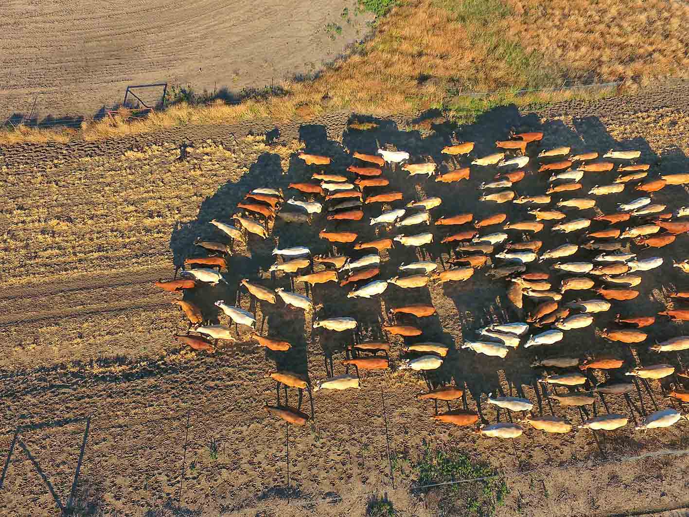
- Brisbane-based Cibo Labs will use DEA to improve on farm decision-making for Australian red meat producers
- Toowoomba-based DataFarming will use DEA data to automatically map paddock boundaries
- Perth-based NGIS Australia will integrate DEA data and analytics to provide farmers with detailed crop data
Banner image: Composite image of the Wheatbelt region of Western Australia reated by combining three separate images from the near-infrared channel from the Copernicus Sentinel-2 mission. Image courtesy of the European Space Agency public collection. Contains modified Copernicus Sentinel data (2019-20), processed by ESA.
Related resources
Data for pasture productivity
Cibo Labs depends on DEA data to help graziers manage more than 20 million hectares productively and sustainably.
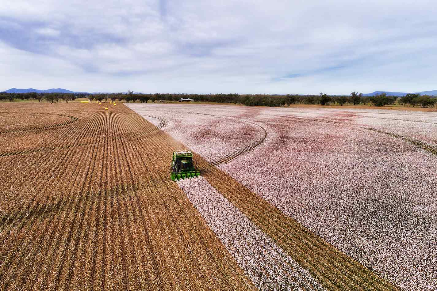
The colours of Keytah
The algorithm behind our DEA Fractional Cover data product turns complex satellite image capture sensitivities into simple colours for easy interpretation.