Scientific topics Disciplines and techniques
Page last updated:27 June 2014
Biostratigraphy is the branch of stratigraphy that uses fossils to establish relative ages of rock and correlate successions of sedimentary rocks within and between depositional basins.

Geochemistry is the study of the chemical processes which form and shape the Earth.
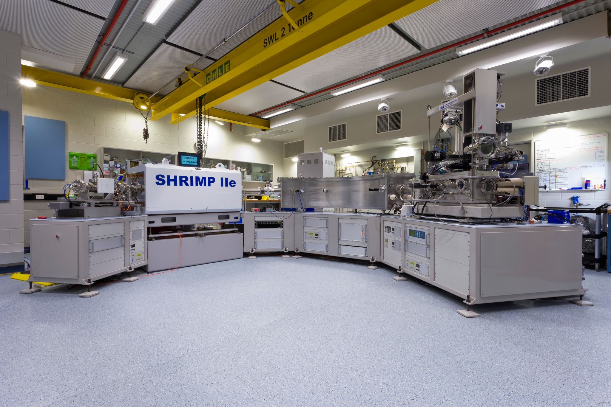
Geochronology is a discipline of geoscience which measures the age of earth materials and provides the temporal framework in which other geoscience data can be interpreted in the context of Earth history.
Information relating to various techniques including: airborne electromagnetics, gravity, magnetics, magnetotellurics, radiometrics, rock properties and seismic.
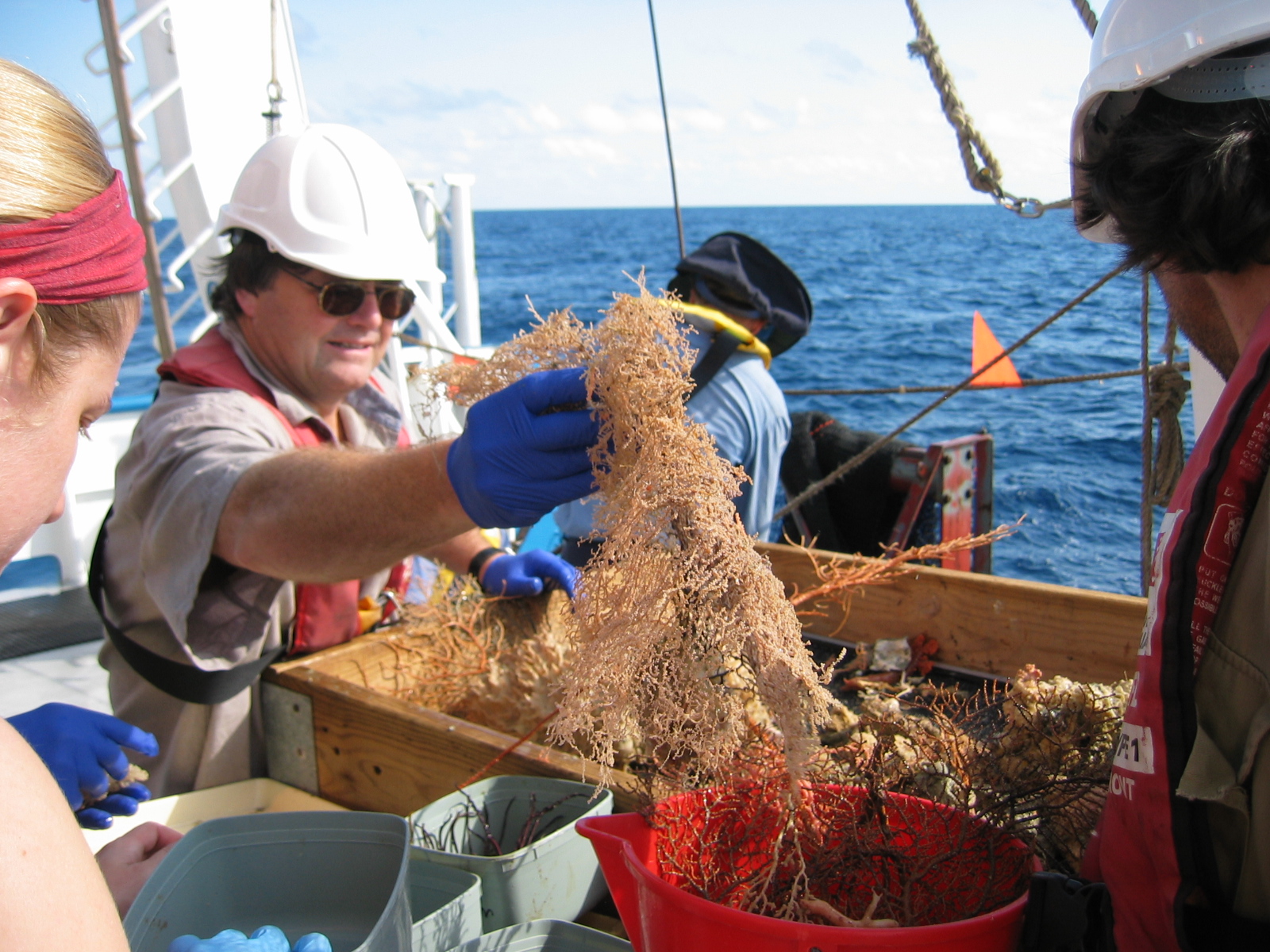
Marine ecology is the study of living things in the ocean and how they interact with their environment.
Marine geochemistry is the science used to help develop an understanding of the composition of coastal and marine water and sediments.

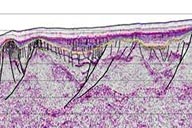
Marine geophysics is a scientific discipline which uses the quantitative observation of physical properties to understand the seafloor and sub-seafloor geology.
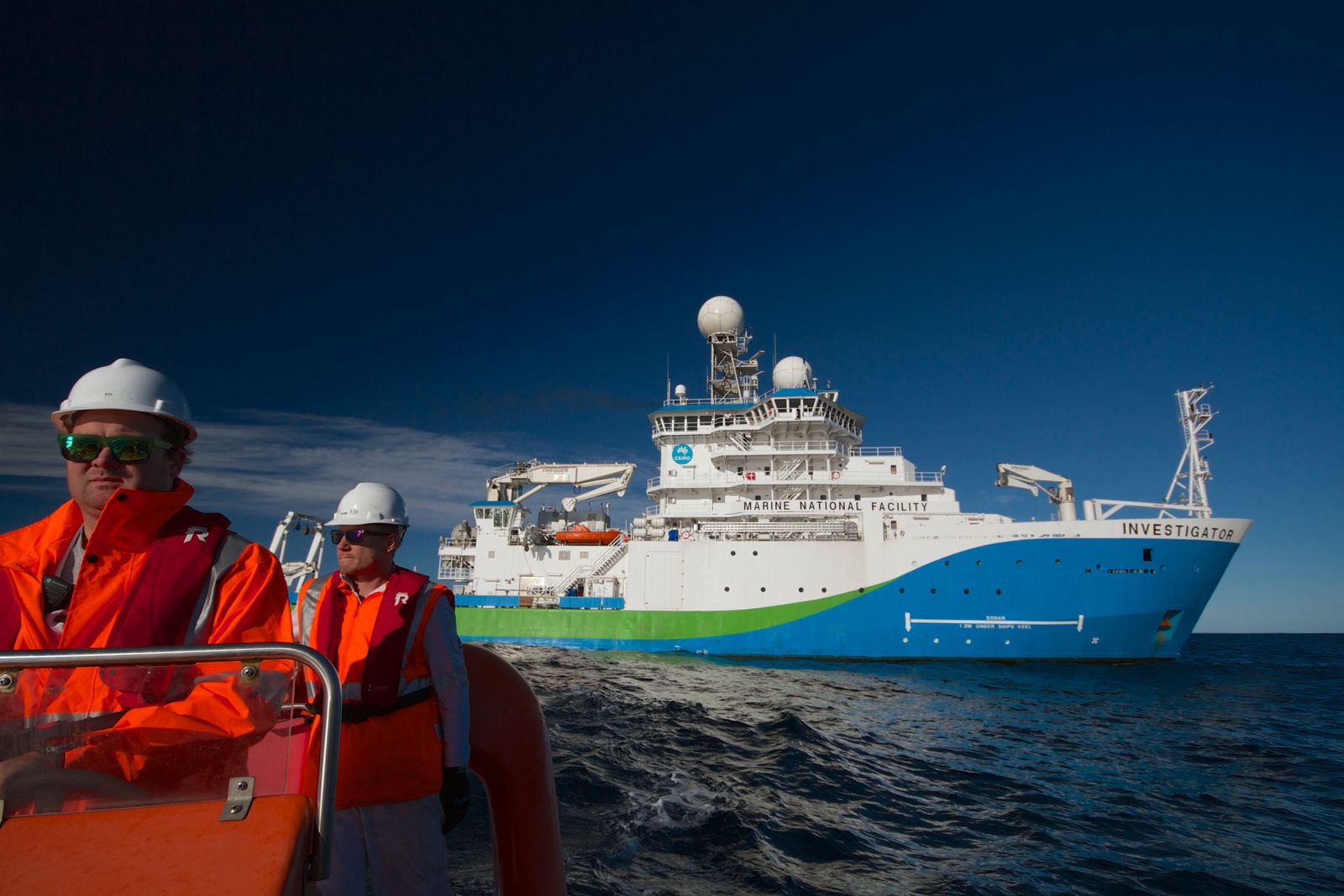
The survey environment varies from oceanographic studies in the water column to investigating sediment and geochemical processes on the seafloor and imaging the sub-seafloor rocks. Surveys are carried over Australia's entire marine jurisdiction, from coastal estuaries and bays, across the continental shelf and slope, to the deep abyssal plains.
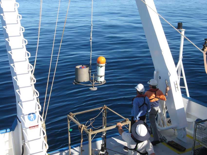
Oceanography is the study of the composition and motion of the water column and the processes which are responsible for that motion. The principal oceanographic processes influencing Australia's continental shelf waters include waves and tides as well as wind-driven and other oceanic currents.
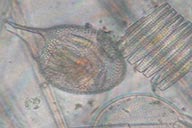
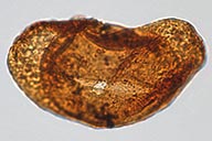
Palaeontology is the study of fossils and what they reveal about the history of our planet. In marine environments microfossils collected within in layers of sediment cores provide a rich source of information about the environmental history of an area.
Sedimentology is the study of sediment grains in marine and other deposits, with a focus on physical properties and the processes which form a deposit.
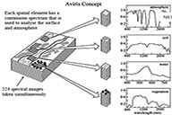
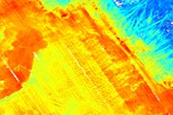
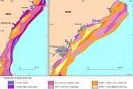
Spectral geology is the measurement and analysis of portions of the electromagnetic spectrum to identify spectrally distinct and physically significant features of different rock types and surface materials, their mineralogy and their alteration signatures.
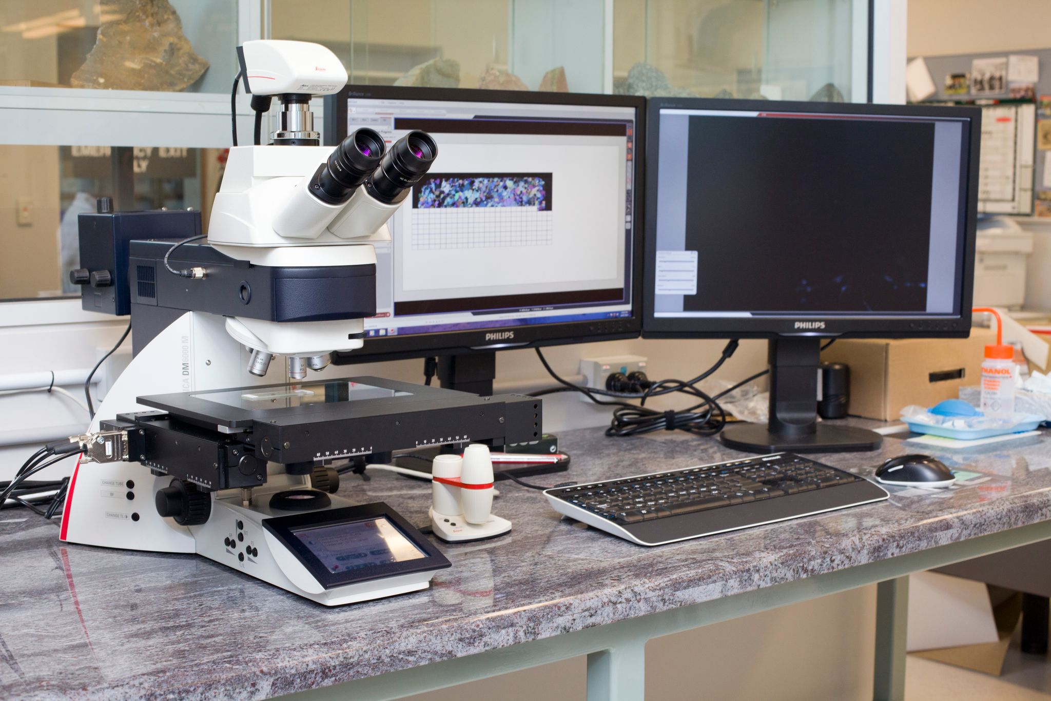
Geoscience Australia laboratories consist of Palaeontology and Sedimentology, Petroleum and Marine Geochemistry, Geochemistry and Mineralogy and Geochronology facilities.