Archival aerial photography
Page last updated:12 March 2024
Geoscience Australia is the custodian for Commonwealth vertical and oblique aerial photography. Dating from 1928, the photos provide an accurate historical record of the land, and form an important part of Australia's spatial information.
Selecting your photos
Aerial photography is recorded on flight line diagrams, which show; aircraft paths (also known as runs), the centre of the photos in relation to ground features, and film reference numbers.
Search historical aerial photography
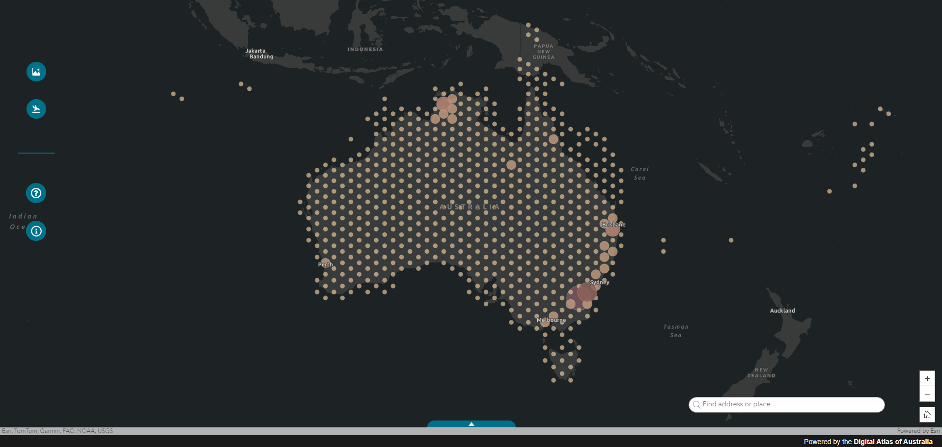
This online catalogue provides means of easy search of the collection records. The mapping system allows users to understand what information is available and, if digitised, to preview and download the image data.
Available formats
- Digital prints (from the whole photo) - (230 mm square).
- Enlargements to a specific scale - eg 1:50 000; or by ratio, eg 2x, 4x (from the whole photo or part of it).
- Photos taken on colour film can be reproduced as black and white.
- Photo mosaics involve joining together several aerial photos to form a single non-rectified image. This enables large areas to be covered by one image similar to a satellite image.
- Orthophotos are photo mosaics with some text annotation. They are available over selected areas.
- Prints may be ordered individually or in blocks to give either plain or stereoscopic cover.
- Both black and white and colour images can be provided in a variety of formats eg. tiff, jpeg, ecw, etc.
- Please indicate a specific scale or ratio. See the ready reckoner for assistance.
How to order
Enquiries for all historical imagery and existing data supply.
Email request to: images@unitedphoto.com.au with the following details:
- area of interest – GIS or CAD files preferred eg. KML, dxf, shapefile.
- required years.
- any other relevant information (optional).
- product required - black and white digital print and colour digital print. Data format required if not requesting hardcopy product
- plain or stereoscopic cover
- purpose - please indicate your particular purpose so that we can provide advice
Note:
- Photography up to 1987 can be viewed at the National Library
- Routine orders will be despatched approximately 10 working days after receipt. Delivery is by overnight courier to a street address, unless specified otherwise.
For further information please contact United Photo & Graphics (below).
Acknowledging Geoscience Australia
Please ensure the following acknowledgment accompanies any of Geoscience Australia's aerial photography:
© Commonwealth of Australia (Geoscience Australia) year of publication.
United Photo & Graphics
United Photo & Graphics (UPG) provide:
- Aerial film scanning
- Existing historical imagery supply
- Existing data supply
National Archives of Australia – Geoscience Australia Archival Aerial Photography
United Photo & Graphics are proud to be the sole service provider to the Australian Government for aerial photography and film archival services on behalf of Geoscience Australia. As a licensed reseller, United Photo & Graphics distributes Australian Government Aerial Photography images and does scanning of historical aerial photography by order. United Photo has access to Australian Government and private historical photography and imagery.
United Photo and Graphic Services
121 Condon St
Kennington, VIC 3550
Ph. 0491 204991
Email: images@unitedphoto.com.au
