Scientific topics National location information
Page last updated:9 September 2015
Explore, analyse and visualise trusted data on Australia's geography, people, economy, and the environment in a central platform.

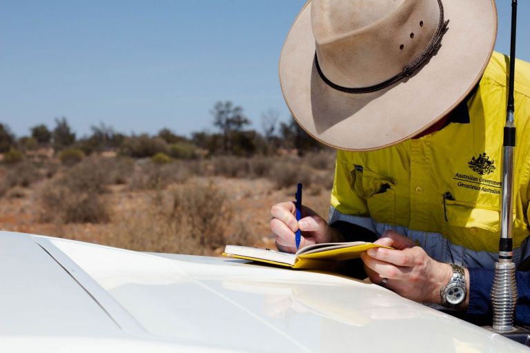
Geoscience Australia, specifically the National Location Information Branch, is the Australian Government's national mapping agency.
The new Digital Mapping Australia (DMA) initiative will modernise how government gets and uses digital mapping by making it faster and easier to get seamless digital mapping across Australia, such as transport, built environment and utilities data.

The Foundation Spatial Data Framework (FSDF) provides a common reference for the assembly and maintenance of Australian and New Zealand foundation level spatial data in order to serve the widest possible variety of users.
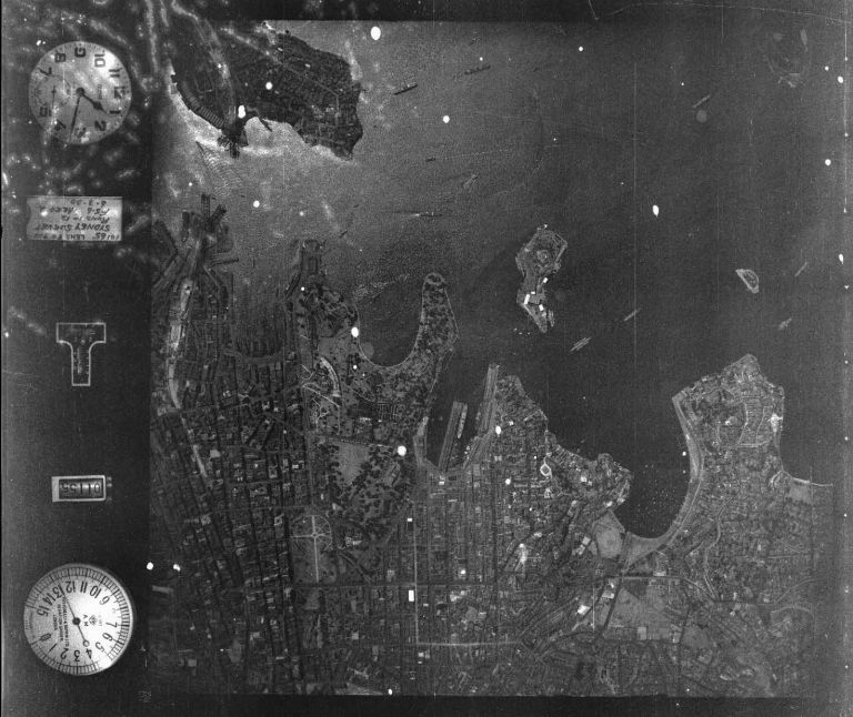
Geoscience Australia is the custodian for Commonwealth vertical and oblique aerial photography.

Discover, explore and access a broad range of data and location based information products using online applications, or consume them as web services into your own applications.
Access digital elevation data about Australia's landforms and seabed, which is crucial for addressing the impacts of climate change, disaster management, water security, environmental management, urban planning and infrastructure design.

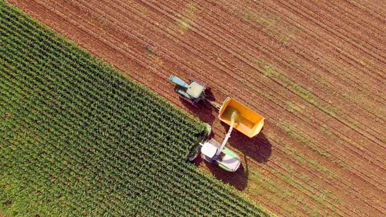
The built environment is where people live, work and gather for recreational activities. Geoscience Australia is the custodian of nationally consistent built environment and exposure information to support disaster management and public safety, infrastructure planning and resource development.
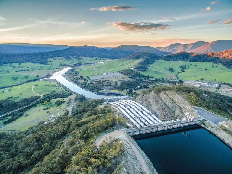
A core information requirement for managing Australia's water resources is knowledge of the spatial location, relationships and characteristics of the hydrological natural and man-made features that make up the hydrological system.

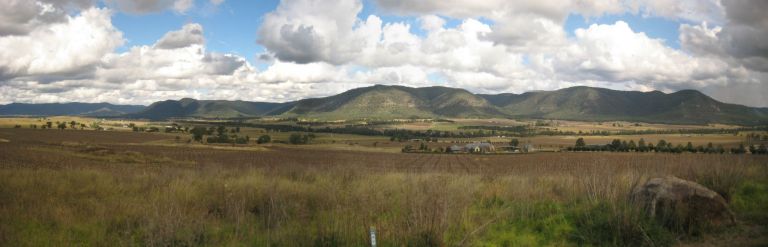
Topographic maps are used for a wide variety of applications, from recreational uses, such as holiday planning, to urban planning, surveying, mining and emergency management.
Includes dimensions of Australia's oceans and seas, coastline, and states and territories.
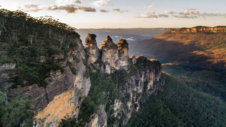
Lists some of Australia's significant landforms including waterbodies, mountains, rivers and deserts.

An online map-based tool that allows easy access to location-based data from Australian government agencies.