Historical Aerial Photography
Page last updated:12 March 2024
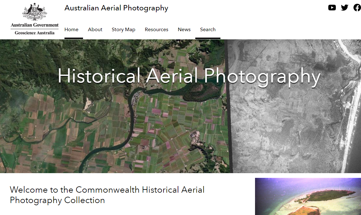
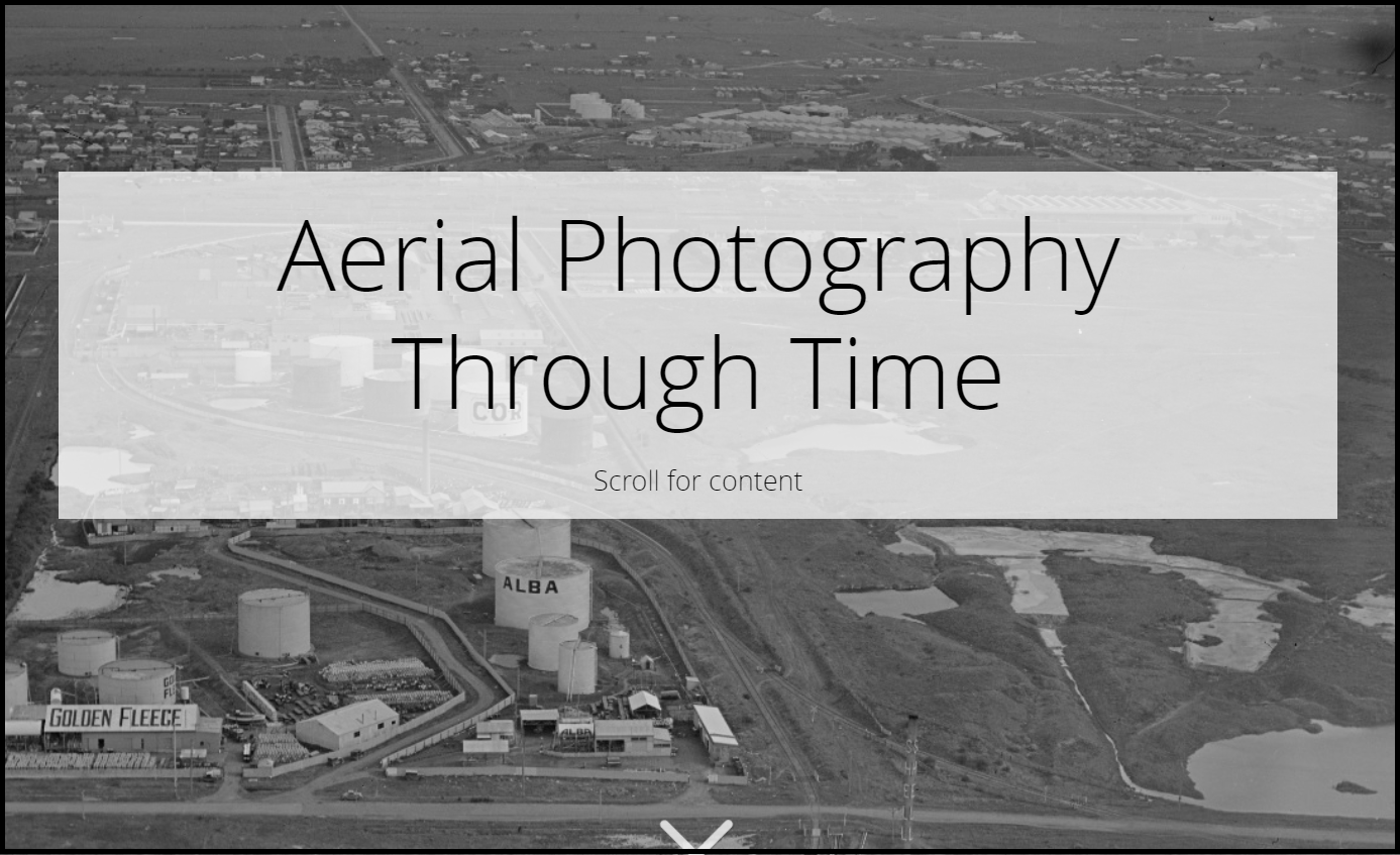
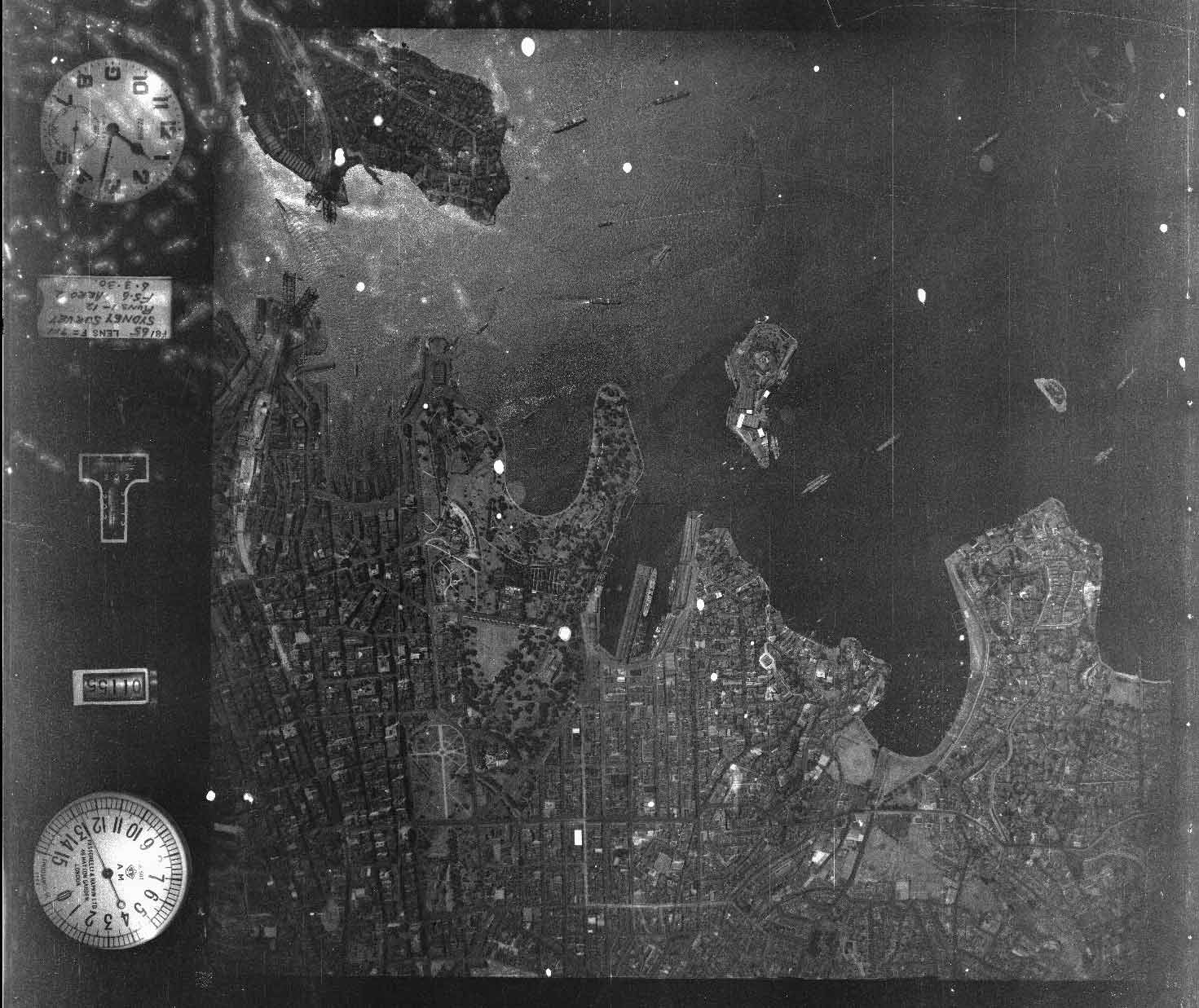
Geoscience Australia has the most extensive historical aerial photography collection in terms of land coverage and time. The catalogue contains of over 1.2 million aerial photos, some dating back as far as 1928. This collection is an important historic record and is essential for understanding Australia’s changing landscape. But it was on film; limiting its lifespan and how it could be used today.
Historical aerial photography is unique, irreplaceable and is needed by governments for effective planning, decision-making and transfer of knowledge. For this reason, these collections are essential for the protection and future well-being of Australians and their changing environment.
Geoscience Australia has been working with the National Archives of Australia to digitise the physical aerial photography collection to digital.
Historical Aerial Photography collection
Geoscience Australia has developed the Historical Aerial Photography (HAP) collection in an online data delivery system. This application allows users to search and download the Commonwealth aerial photography collection for free.
Search Historical Aerial Photography
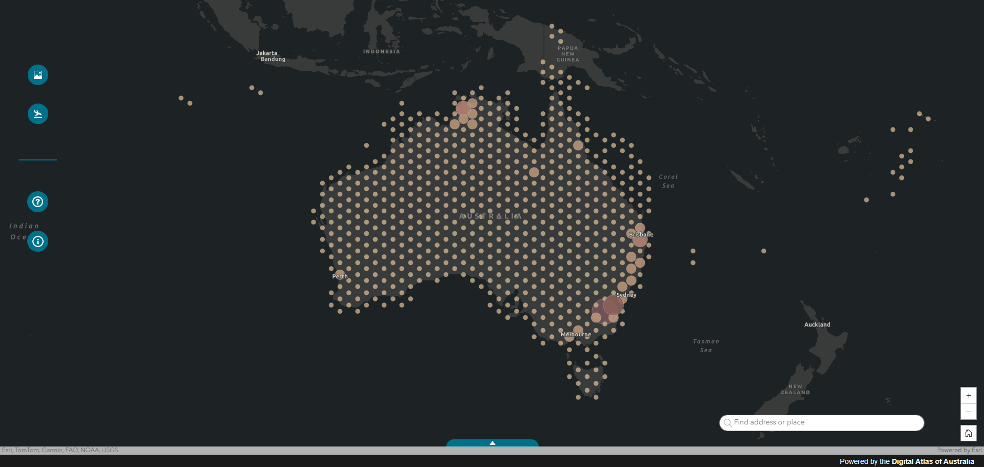
The online catalogue provides users a simple searching tool to discover the records collection. The mapping system allows users to understand what information is available and, if digitised, to preview and download the image data.


