Rail
Page last updated:14 March 2025
Positioning technology serves the rail sector in various ways, from passenger information to reducing network downtime and more efficient operation management. Positioning Australia is delivering the essential enabler technology for automation in the rail industry with access to more accurate and reliable information.
A trial of SouthPAN’s accurate positioning technology, known as the Satellite-Based Augmentation System (SBAS) test-bed project, ran between 2017 and 2019 to assess the economic, social and environmental benefits of improved positioning technology through a range of industry demonstrator use case projects. These projects tested how SouthPAN could improve existing technologies, or give rise to new innovation, across the economy. SouthPAN’s SBAS test-bed included 27 demonstrator projects across ten industry sectors including agriculture, aviation, construction, consumer, resources, road, rail, maritime, mining and utilities.
This was led by Geoscience Australia in partnership with the New Zealand Government’s Toitū Te Whenua Land Information New Zealand and managed by FrontierSI.
Can help detect network defects
Precise positioning enables geo-tagging technology to help maintenance crews identify exactly where a defect is located, saving them time by minimising the risk of them going down the wrong track. This allows more time to focus on new and improved tasks providing greater efficiency.
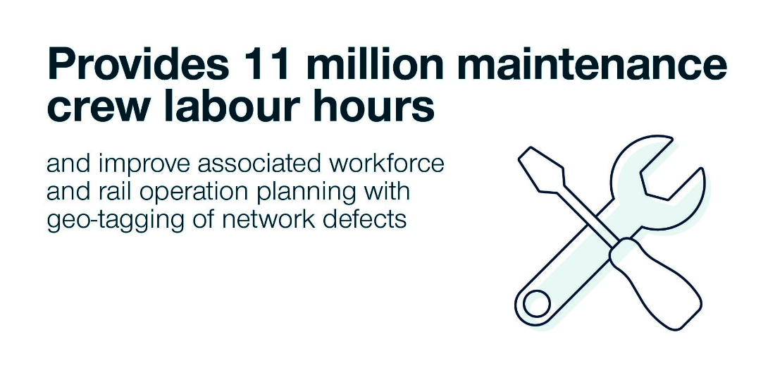
Unlock 11 million maintenance crew labour hours and improve associated workforce and rail operation planning with geo-tagging of network defects
Provides greater control
Accurate and reliable positioning delivers the essential enabler technology for Intelligent Railway Systems and automation in the rail industry that is consistent across the country. It offers a system that provides continuous, precise and timely train position information to reduce headways and control the movement of trains.
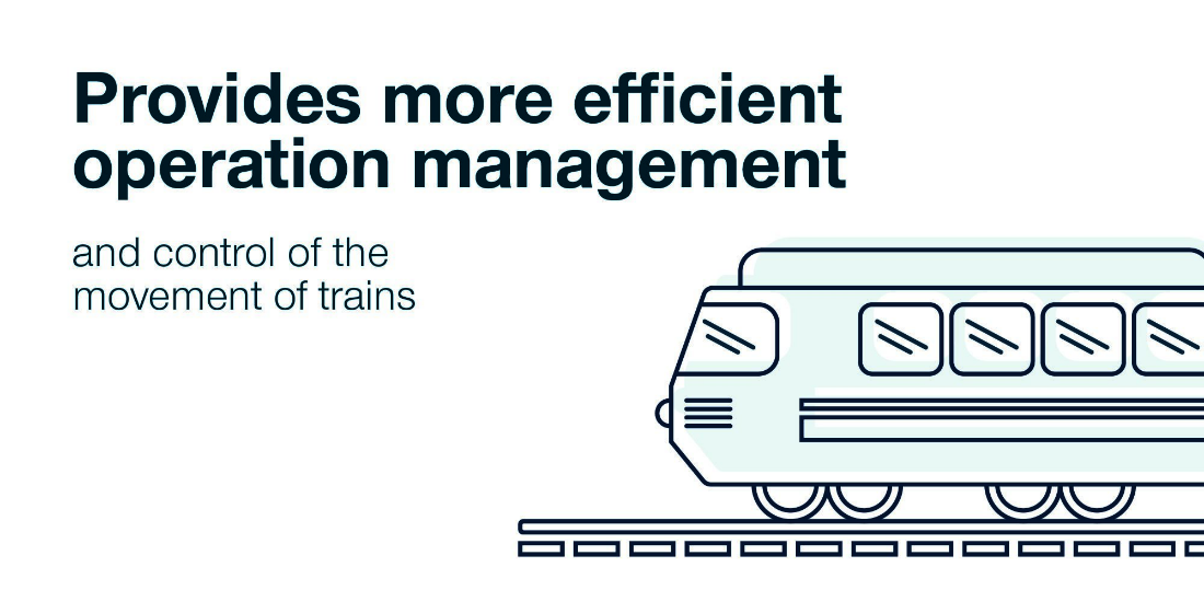
Provides more efficient operation management and control of the movement of trains
Position Partners
Project Title
SMART Rail (Satellite Management Assisting Rail Transport) potential improvements for rail transport and train systems using SouthPAN
Organisations Involved
- Position Partners
- Institute of Rail Technology, Monash University
- Tasmanian Railway Pty Ltd (TasRail)
- FrontierSI (the successor entity of the CRC for Spatial Information)
Project Summary
TasRail was excited to participate in the world-first trial of SouthPAN to test the accuracy, reliability and availability of global navigation satellite systems. Improved positioning accuracy to pinpoint rollingstock and maintenance vehicles across the Tasmanian freight rail network further underpinned TasRail's commitment to safety and operational excellence.