Resources
Last updated:16 September 2022
The mining industry has been an early adopter in the use of precise positioning technology as it plays a vital role in the mining production chain and boosting the industry’s productivity and profitability. Positioning Australia is establishing a platform for future innovations across the resources sector from accurate site surveying and precise extraction of deposits to vehicle tracking.
Increases returns
Positioning plays a role in all activities along the production chain, from site surveying to extracting deposits, boosting the industry's productivity and profitability along the way. Precise positioning technology allows drilling equipment to extract resources in exact locations in accordance with mine plans and identified mineral deposits.
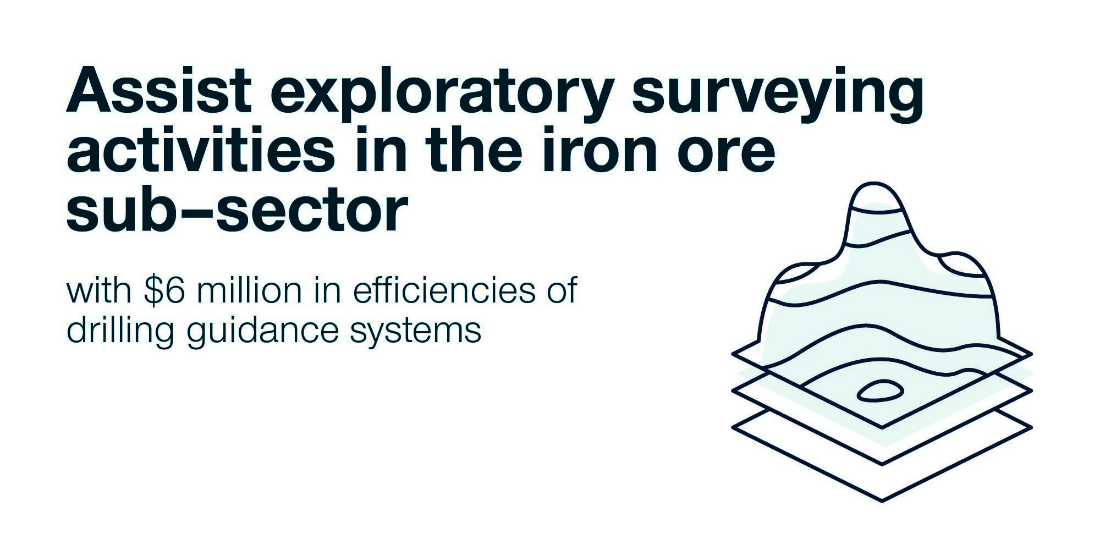
Assist exploratory surveying activities in the iron ore sub-sector with $6 million in efficiencies of drilling guidance systems
Protects mining operators
Positioning information allows mining operators to safely identify the location of trucks at any point in time, what they are carrying and where it is being deposited. It increases effectiveness of Collision Avoidance System and efficiency of haul truck speeds providing drivers greater faith in safety mechanisms. It also reduces environmental incidents through the use of exclusion zones to inform and alert mine operators where is safe to move.
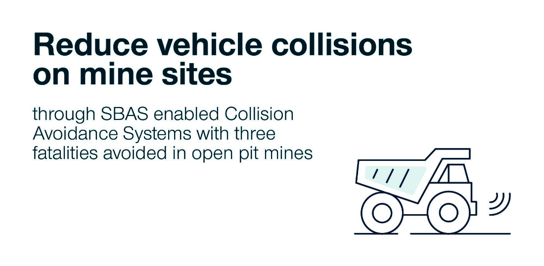
Reduce vehicle collisions on mine sites through SBAS enabled Collision Avoidance Systems with three fatalities avoided in open pit mines
Real-time monitoring
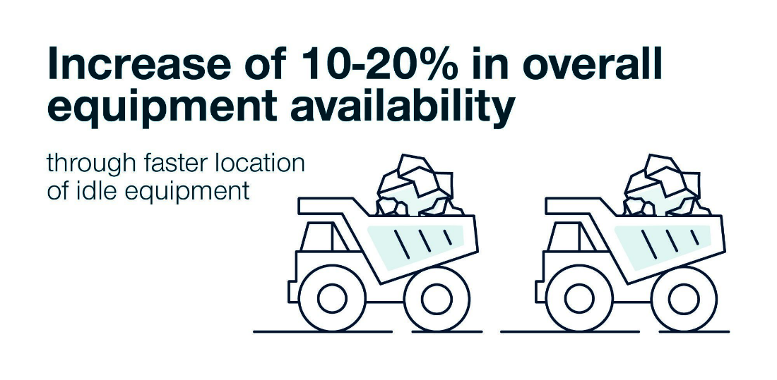
Precise positioning technology improves material management and allows for real-time monitoring of equipment for great efficiency. Being able to detect idle equipment early and more easily allows mining operators to manage activities more effectively.
From exploration and mining to the production of minerals, oil and natural gas, Australian resources involves working in harsh and remote environments. Wenco International Mining Systems and researchers from the Queensland University of Technology (QUT) recently tested satellite positioning technology to improve the impacts of these environments.
Fitted onto fleet vehicles at a Middlemount mine site in Queensland, SouthPAN receivers tested proximity awareness using the approximate display of the Safety Fleet Management System.
Wenco International Mining Systems Research and Development Manager, Tim South, saw the important role satellite positioning technology plays along the mine production chain.
“The high precision positioning allowed our mine site mobile fleets to interact with a higher degree of confidence due to improved proximity awareness,” says Tim. “This achieves our number one priority of operator safety.”
Mining safety through vehicle and personnel tracking
The project brought together experts from industry and academia to trial the SouthPAN signal and gain a greater understanding of how widely it could be used in the sector. The demonstrated benefits proved that more accurate positioning will improve mining operations from driving a blind corner to managing fleet vehicles.
“Testing SouthPAN on our trucks with the Safety Fleet Management System showed how it could improve safety on our mine sites,” explains Tim. “The system alerts operators to warnings and the more accurate and reliable the position of a vehicle or person, the better.”
Next generation of mining technology
While the hardware systems of existing products need to be further developed to utilise SouthPAN, Tim sees a next generation of mining technology: “Once operational, satellite positioning technology for Australia will offer the mining industry more precision but at a lower cost, particularly for smaller mining operations.”
Precise positioning technology has the potential to not only improve mining safety, but also enables accurate site surveying and the precise extraction of deposits. It will provide real-time monitoring of equipment for more effective management of resources activities.
Queensland University of Technology
Project Title
Demonstration of SouthPAN-enabled active mine vehicle tracking operations
Organisations Involved
- Queensland University of Technology
- Wenco International Mining Systems Ltd
Project Summary
With the collaboration of QUT academics, Wenco International Mining Systems and mine planning experts, this project conducted a series of field trials in the Middlemount mine site in Queensland with fleet vehicles and V2X-enabled vehicles that hosted both built-in SouthPAN-capable receivers and additional dual-frequency receivers for PPP solutions. The objectives of the trials and subsequent data analyses were to examine the benefits of the testbed SouthPAN services over the standard GPS/Glonass services that may lead to improvements in the safety of vehicle operation and increase in the productivity.
Curtin University
Project Title
Positional improvements for digital mines
Organisations Involved
- Curtin University
- Roy Hill
Project Summary
The project investigated the improvements SouthPAN could provide to existing positioning technologies using GNSS in the mining environment. It examined the level of precision and accuracy for real-time identification of the locations of drill holes, geo-fencing, the use of augmented reality technology, and positioning for autonomous activities.
Contact
For further information on these projects:
Eldar Rubinov
SBAS Test-bed Technical Manager
FrontierSI (formerly the Australia and New Zealand CRC for Spatial Information)
Door 34, Goods Shed, Village Street, Docklands, VIC, 3008
Tel: +61 406 966 992
Email: erubinov@frontiersi.com.au
www.frontiersi.com.au
For all media enquiries:
Tel: 1800 882 035
Email: media@ga.gov.au


