Scientific topics Enabling positioning through geodesy
Page last updated:24 March 2025
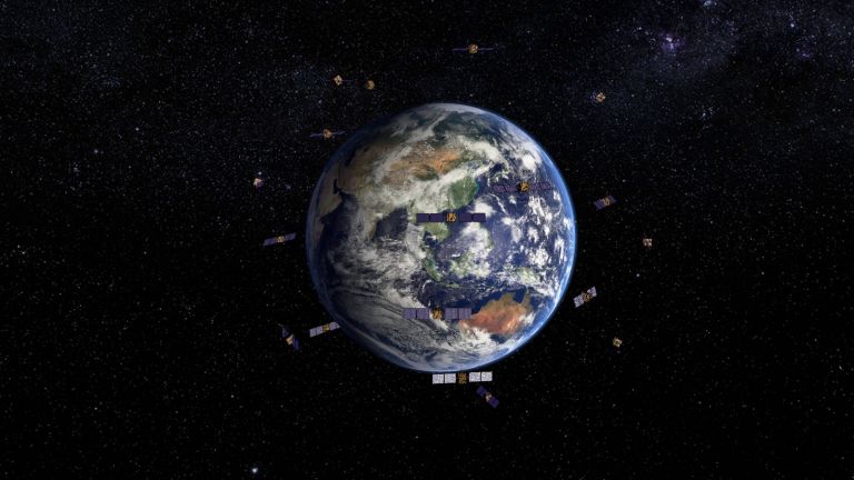
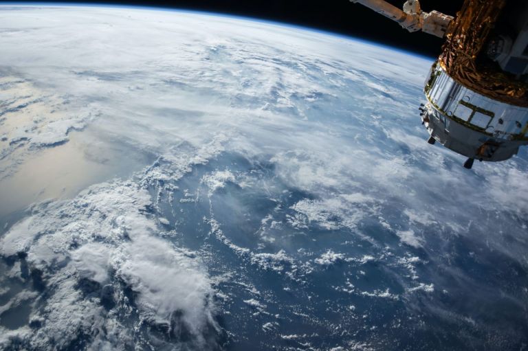
Did you know the Australian continent moves 7-centimeter NNE each year? Our geodesy capability ensures Australians can maintain centimeter-accurate positioning across our continent as we move. Geodesy measures the size, shape, orientation and gravity field of our dynamic Earth and how it changes over time. It provides the foundations for accurate positioning, navigation and timing, including:
- Spatial reference frames: Earth data models fundamental for positioning, navigation, mapping and spatial data alignment;
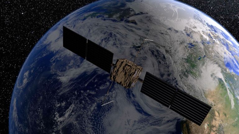
- Geodetic observations, delivering highly accurate data on Earth’s spin (time), satellite movements (position and navigation), gravity and land movement (position, height and geospatial data alignment), and environmental change monitoring (e.g. sea level, ice sheets, natural hazards).
- Accurate positioning, navigation and timing underpins industry growth and innovation, safer, more resilient communities, and enables environmental monitoring.
As the national authority on geodesy and positioning, we
- Manage and maintain Australia’s national reference frame and operate world-class geodetic infrastructure
- Collaborate with international communities on global reference frames, geodetic data and standards
- Provide free and open positioning information and services to all Australians.
Learn about geodesy and global navigation systems and how they are applied.

Geoscience Australia provides a range of web applications, documents and spreadsheets to help with coordinate transformations, conversions and ellipsoid computations.
A variety of geodetic techniques are applied by Geoscience Australia and others in this field.
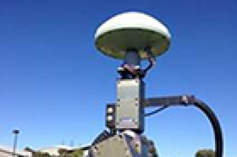
View GNSS station galleries, station logs and information on the different operators around Australia.
Find out about datums as well as their different purposes and Geoscience Australia's role.

Find out about datums as well as their different purposes and Geoscience Australia's role
The Australian Geospatial Reference System is the collection of datums, infrastructure, standards and models required for accurate and reliable 4D positioning.

Find out how Geoscience Australia provides a free service to obtain Regulation 13 Certificates.

The Pacific Sea Level and Geodetic Monitoring (PSLGM) project is an Australian Government initiative, funded by Australian Government aid, which will enable South Pacific Island Countries to better manage their environments and contribute to sustainable development.
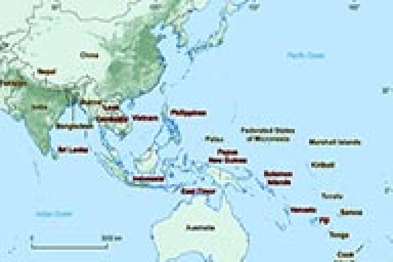
To create and maintain an accurate geodetic framework to meet the growing needs of industries, science programs and the general public using positioning applications in the Asia-Pacific region.

View a free online GPS data processing service provided by Geoscience Australia.
Find out how Geoscience Australia provides GNSS antenna calibration services.