Space We’re bringing the benefits of space to Earth for all Australians


Our mission
For close to 50 years Geoscience Australia has been bringing the benefits of space down to Earth.
Geoscience Australia is a trusted global partner in the space sector, providing free and open access to precise positioning and Earth observation data to Australian and international industries, governments, researchers and the public.

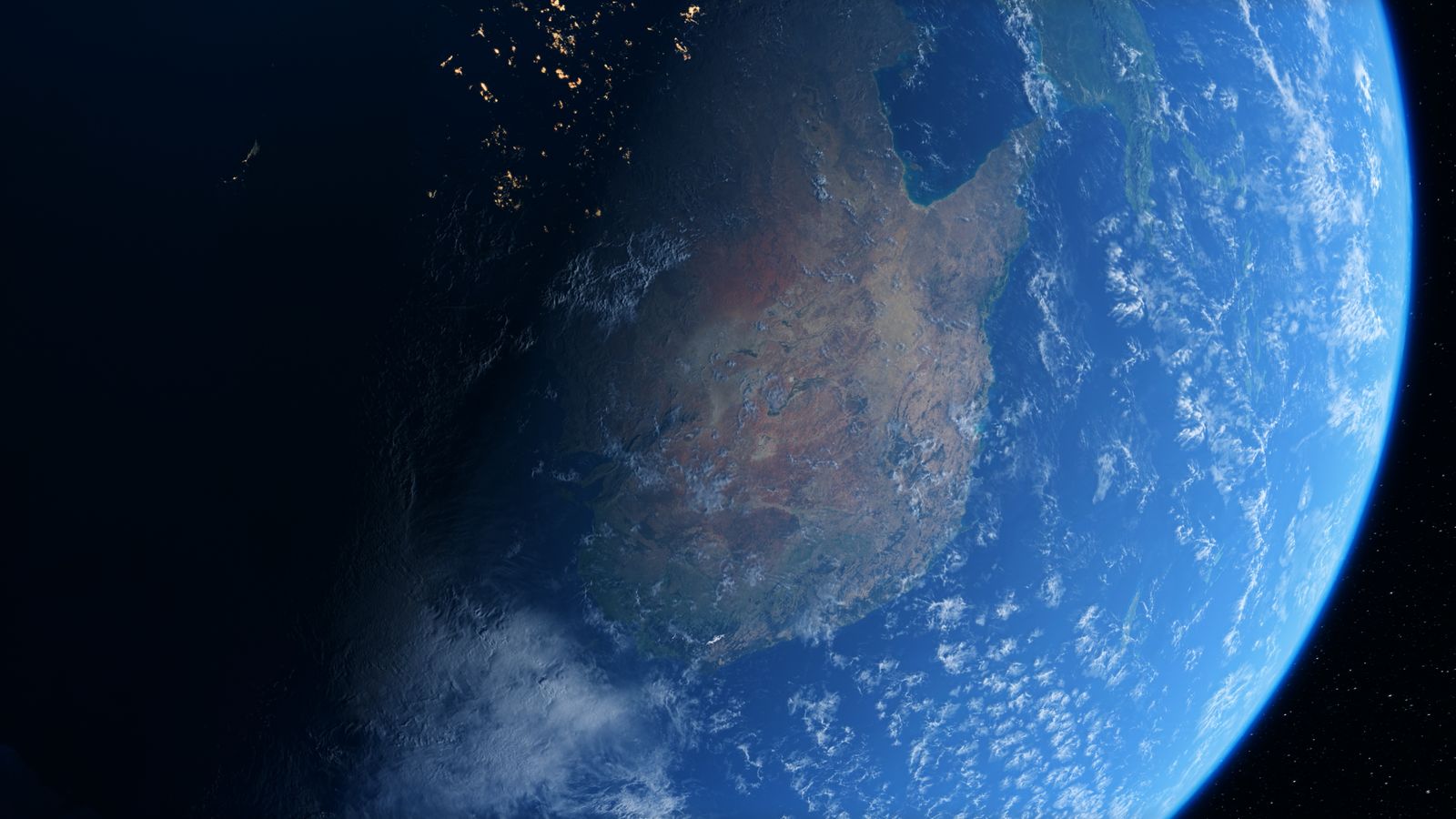
Earth observation from space
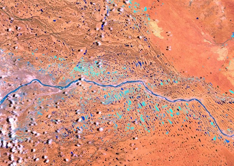
Geoscience Australia makes Earth observation data freely available to all Australians through our Digital Earth Australia (DEA) program and the Copernicus Regional Data Hub.
DEA provides access to a rich archive of high-quality satellite data from 1987 to the present, for the benefit of Australian communities, business and governments.
The Copernicus Regional Data Hub supports the European Union’s Copernicus Programme, covering Australasia, South-East Asia, the South Pacific, the Indian Ocean, and the Australian Antarctic Territory.
Earth observation data provides insights into changes in Australia’s natural and built environments, and gives farmers, land managers, industry and government the information they need to make better decisions about how they care for and use Australia’s resources sustainably and productively.

Positioning Australia
Positioning is critical to the lives of all Australians. Our Positioning Australia program contributes to a location-enabled Australia by defining accurate and reliable foundations for location information across the region, and enabling access to positioning services for everyone. This supports innovation, improves workplace and community safety, increases productivity and accelerates economic growth for our nation.
Previously, the accuracy of positioning data was within 5 to 10 metres of the actual location. Through the Positioning Australia program, we are delivering the infrastructure and systems that enable sub-metre accuracy, down to as little as 10 centimetres across Australia, New Zealand and our maritime areas, and 3 to 5 centimetres where there’s mobile phone service.

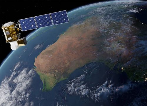
Satellite and ground station network
Geoscience Australia assists national and international efforts to assure global access to free, quality-assured satellite positioning and Earth observation data.

International partners
Geoscience Australia is an active contributor to international bodies that coordinate the acquisition and use of Earth observation and positioning data.
As part of our ongoing commitment to the international community, we:
- maintain essential ground infrastructure and analytical capabilities for assurance of continuous data availability
- negotiate access to commercial satellite data to support emergency managers in times of natural disasters
- provide data and analytical products to international bodies enabling sustainable satellite operations
- provide calibration and validation services to international satellite operators to support data quality and reliability
- support robust governance of international collaborations and data-sharing through participation in multi-lateral forums for Earth observation, Positioning, Navigation and Timing (PNT), geodesy and related disciplines.
Related information
Join our community
News and events
Find out the latest news, public talks and events and what’s happening in your community.
Get in touch
Have a question about Geoscience Australia or need help with using our data? Email us at clientservices@ga.gov.au or
call 1800 800 173.
Stay informed
Subscribe to some of Geoscience Australia's program newsletters to receive regular updates on, new data releases, publications, latest industry research and events.


