Space Our satellite and ground station network
Page last updated:4 December 2024
Geoscience Australia plays a crucial role in a global network of satellites and ground stations that keep much of modern life on track. We support the operation of satellites that observe Earth’s gravity, land, oceans and weather, and provide precise positioning and timing.
For nearly 50 years, Geoscience Australia has managed infrastructure that supports global satellite missions, bringing the benefits of space down to Earth. Our contributions include satellite tracking using laser ranging stations, downlinking and processing Earth observation data, and monitoring the movement and deformation of the Australian continent using Global Navigation Satellite Systems. We also operate a geostationary satellite as part of Australia’s positioning infrastructure for SouthPAN, which will expand to two satellites as the system is fully deployed.
We are also custodians of this information, providing freely available Earth observation, positioning and geodesy data for consumers through Digital Earth Australia products and Positioning Australia services and tools. This data is stored by Geoscience Australia in a national archive and is utilised in production of current and next generation products and services.
Since 1979, Geoscience Australia has operated the Alice Springs Ground Station to support the USGS Landsat and other Earth observation missions
Geoscience Australia works bilaterally with key partners, such as the United States Geological Survey (USGS), National Aeronautics and Space Administration (NASA), Toitū Te Whenua Land Information New Zealand and the European Commission, and multilaterally through forums such as the international Committee on Earth observation Satellites and the International GNSS and geodetic community.
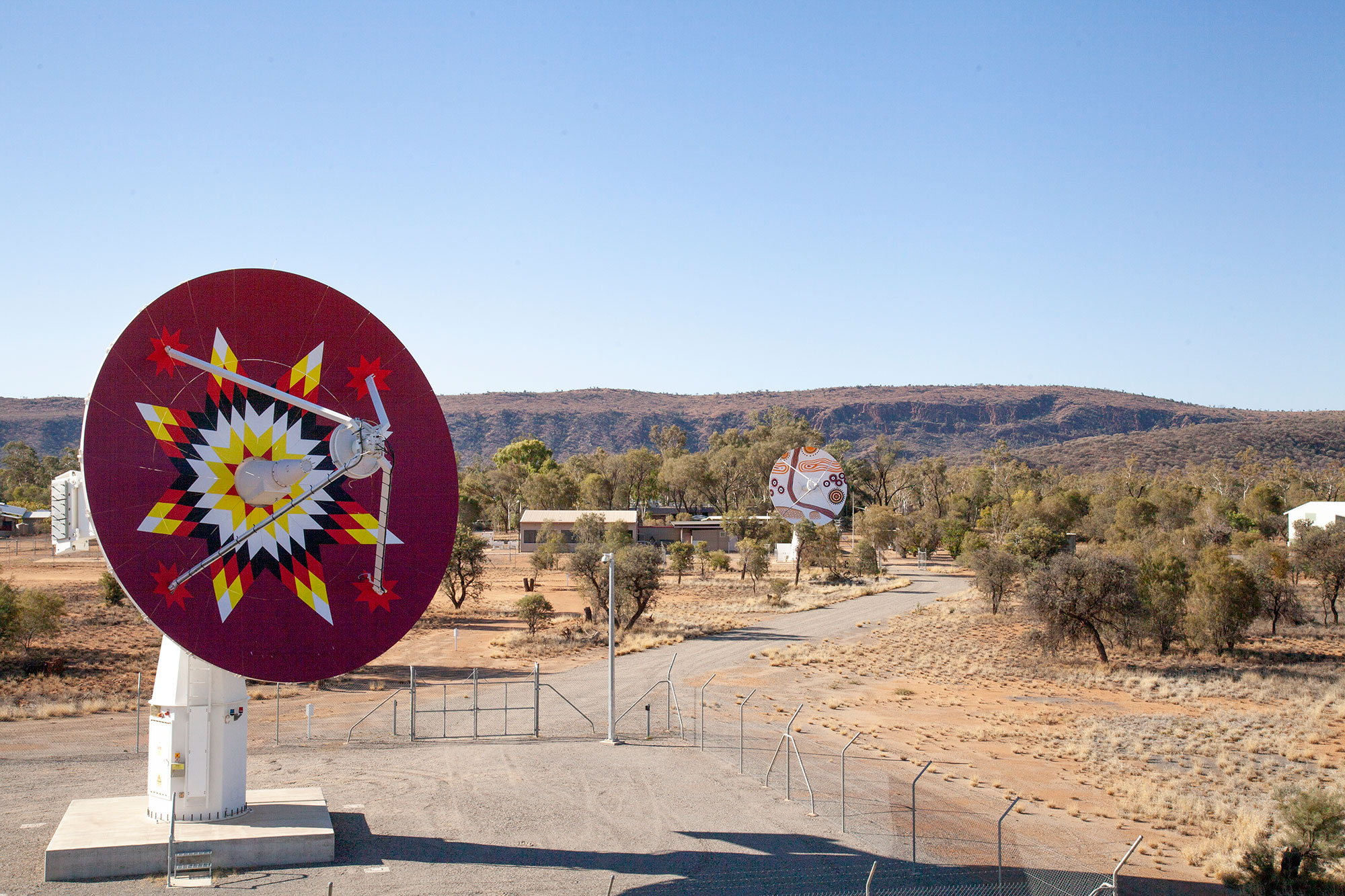
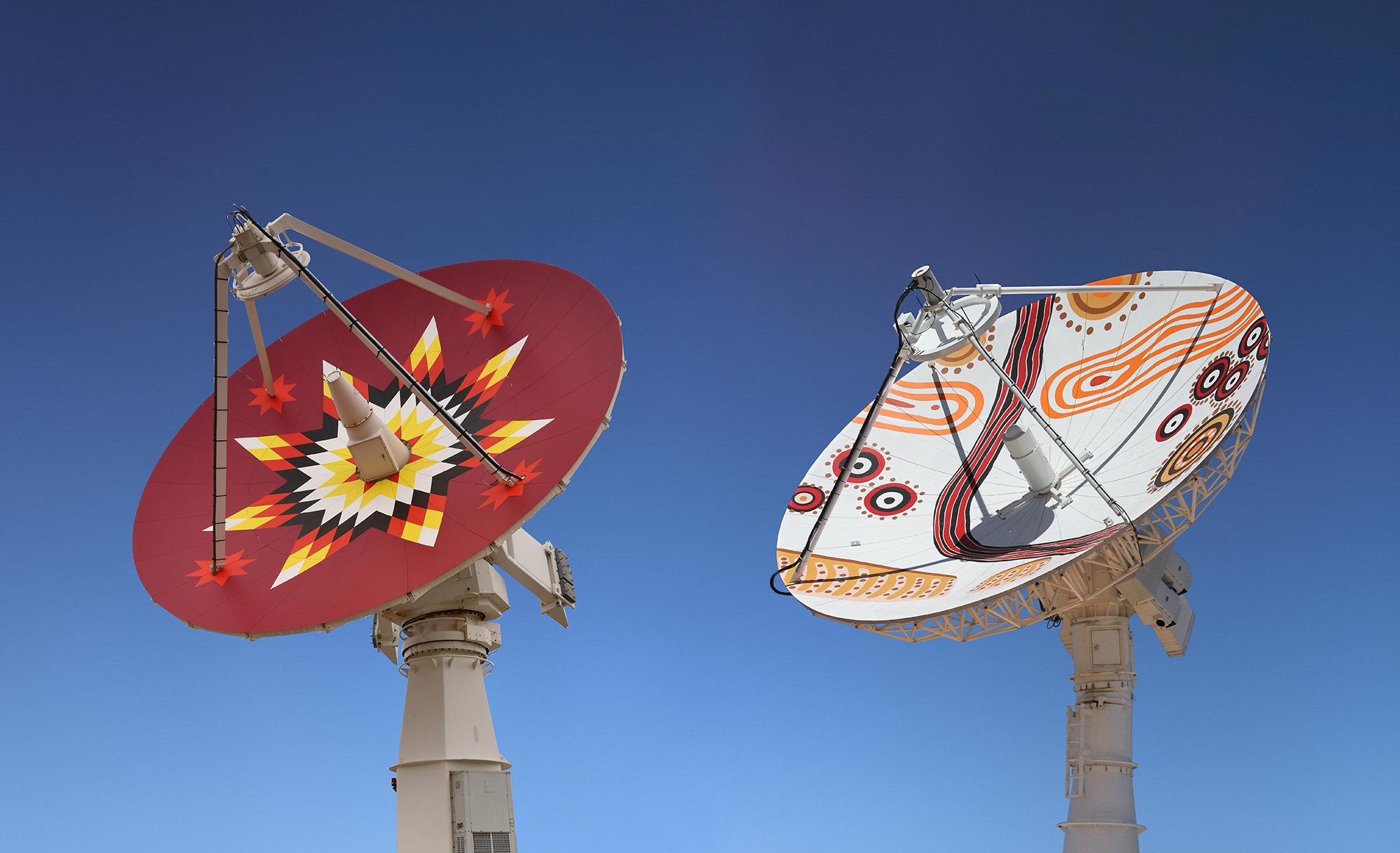
The Alice Springs Ground Station hosts two 9-metre antennas. The ViaSat antenna (left) features Lakota Sioux-inspired artwork based on an Owinja (Star Quilt) to celebrate the longstanding collaborative relationship between Geoscience Australia and the USGS. The Datron antenna (right) features artwork based on an Aboriginal painting, Caterpillar Tracks, to recognise the role of the Arrernte people as custodians of the land where the Alice Springs antennas are located.
Alice Springs ground station
We operate the Alice Springs satellite ground station in the Northern Territory, which performs daily data downlinks directly from the USGS Landsat program, NOAA, TERRA, AQUA, the European Commission’s Copernicus Sentinel program and Suomi.
The Alice Springs satellite ground station hosts two 9-metre antennas, a 3-metre antenna, a 2.4-metre antenna, and associated computation and networking infrastructure. The satellite ground station has been in operation since 1979 and is one of three outside the US that form a global Landsat satellite ground station network. These antennas enable Geoscience Australia to collect data from a number of Earth monitoring satellites, which provide information to detect changes in land use over time and other useful environmental data. This data is used by government, industry, education and research, and is a key contributor to $5.3 billion of benefits to Australia right now.
The geographic location of this satellite ground station is of strategic importance as it provides satellite reception coverage over the entire Australian continent, therefore reducing the need and cost for other installations to provide the same capability in other locations. This ground station allows the USGS Mission Operation Centre located at NASA’s Goddard Space Flight Centre in Maryland to send command and control signals to current and future Landsat satellites via our Alice Springs facility, as well as satellite spacecraft telemetry information and 'state of health'.
Geodetic and positioning ground infrastructure
We manage and support a national network of infrastructure that plays an important role in global geodesy and positioning. This includes two Satellite Laser Ranging (SLR) stations, 200 Continuously Operating Reference Stations (CORS) for GNSS, ground stations for Doppler Orbitography and Radiopositioning Integrated by Satellite (DORIS), Very Long Baseline Interferometry (VLBI) and gravity stations.
Geoscience Australia’s Yarragadee Observatory in Western Australia is recognised as a top-performing global geodesy ‘supersite’, with infrastructure supporting each geodetic technique co-located.
Our space geodesy work is the foundation for all our positioning, timing and navigation activities, contributing significantly to global GNSS operations. Geoscience Australia is recognised as a partner by the UN Global Geodetic Centre of Excellence (UN-GGCE) for our contribution to the global geodesy supply chain.


